Binurong Point
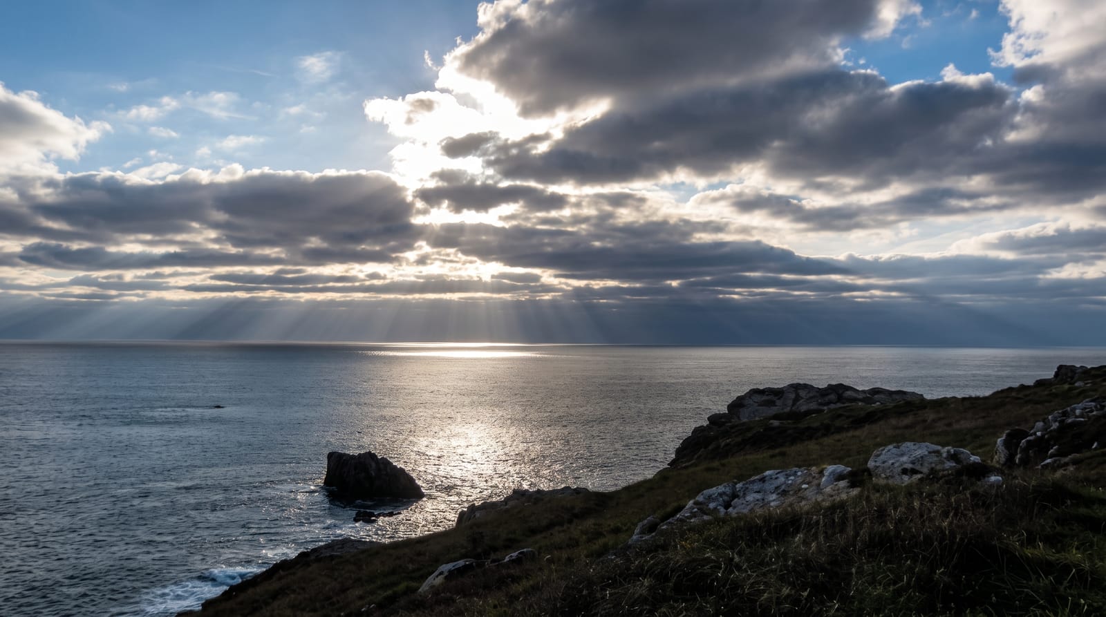
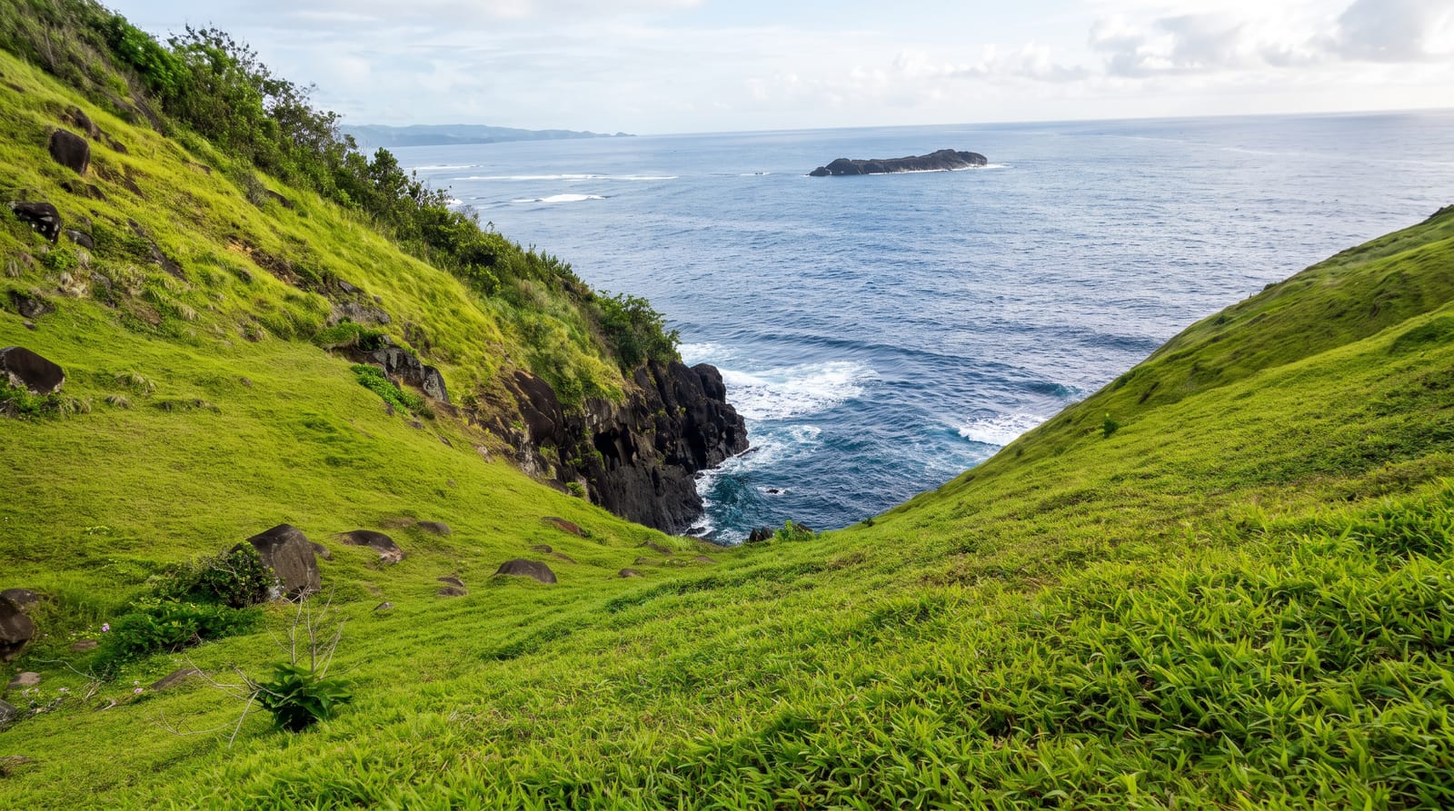
Catanduanes' green cliffs - a rolling headland of grass and rock above the Pacific, walked at sunrise for the island's signature view.
Updated 24 August 2026
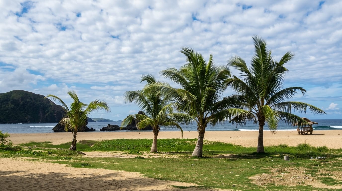
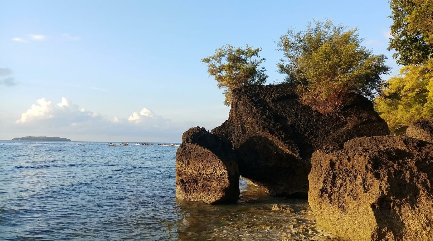
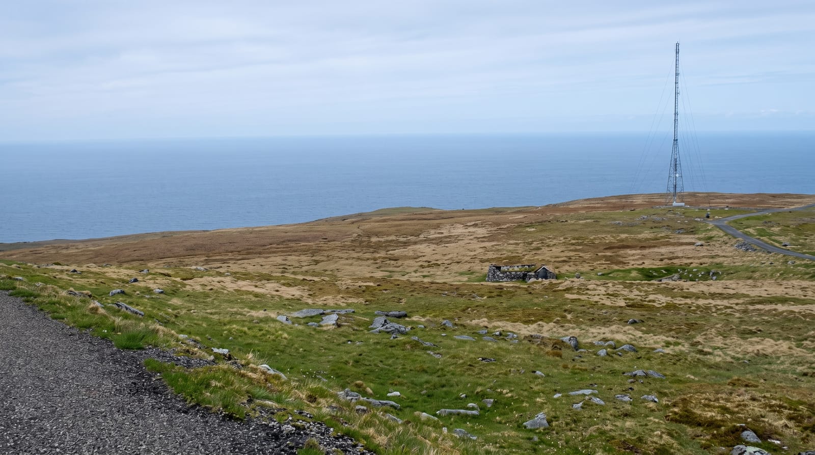
AI illustration
Binurong Point is a headland on the eastern side of Catanduanes where the island's grassland runs out to a series of cliffs and rock stacks with the open Pacific below - the closest thing the Philippines has to an Irish or Batanes coastline, and the image that put this quiet province on more itineraries. The walk in from the trailhead takes twenty to thirty minutes through cogon grass and coconut, then opens onto the bluff: a spine of green with sheer drops on either side, waves working the rocks, and a path that continues along the ridge to further viewpoints. People come at sunrise because the light is best and the grass is not yet baking. Catanduanes calls itself the Land of the Howling Winds for good reason - it sits directly in the typhoon corridor - and the same exposure that makes this coast dramatic also makes the weather a real planning constraint.
Highlights
- The cliff spine - green ridge with drops to the sea.
- The rock stacks - formations off the point.
- The Pacific swell - open ocean straight to the horizon.
- The sunrise walk - the reason for the early start.
When to go
March to June for the calmest, clearest weather. Sunrise for light and cooler walking. The typhoon season from roughly June to November hits Catanduanes hard.
Things to know
The path is exposed with no shade or railings, slippery when wet, and the cliff edges are unfenced. Guides are expected and cheap. There are no facilities at the point.
Nearby
Puraran Beach's surf break is about half an hour away; Virac is the island's base and airport.
What to pack for Binurong Point
Chosen from what this place is for. Tap a kit for the full checklist.
- Broken-in walking shoes or boots - Grip and ankle support matter more than looks; never hike in brand-new boots. Find on Amazon
- Quick-dry clothing - Board shorts or synthetics that shrug off spray and dry fast. Find on Amazon
- Layers + a waterproof shell - Mountain weather turns fast; a packable rain jacket saves the day. Find on Amazon
- Secure water shoes or reef boots - Grip on slippery launches and protection on rocky shores. Find on Amazon
Some links on this page are Amazon affiliate links - if you buy through them we may earn a small commission at no extra cost to you.
All packing kitsPlan your trip
Where to start if Binurong Point is going on the list.
Booking links on this page are affiliate links - if you book through them we may earn a small commission at no extra cost to you. It never changes what we write about a place.
Opening times, ticket prices and seasonal closures change - check the official source before you go: official site.