Thang Hen Lake
A chain of karst lakes that drain and refill on their own, connected underground and named for a bee's tail.
Updated 14 October 2026
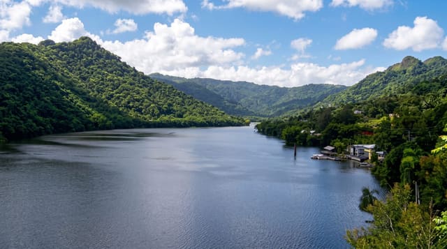
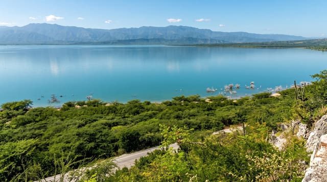
Thang Hen is a group of connected lakes in a karst basin east of Cao Bang, sitting between limestone walls with forest on them, and their behaviour is the interesting part: they are fed and drained through underground channels in the rock, so the water level changes markedly through the year and at times some of the lakes empty almost completely, refilling when the system delivers again. The Tay name is usually given as the tail of a bee, from the shape. Rafts and boats run on the main lake when it is full. The site is part of the Non Nuoc Cao Bang geopark.
What you'll find
- Lakes connected underground - fed and drained through the rock.
- Levels that change sharply - some emptying almost completely.
- Limestone walls and forest - the basin around them.
- Rafts on the main lake - when there is water.
When to go
August to November, when the lakes are fullest. Half a day.
Things to know
In the dry months the lakes can be very low or dry, which is the main risk of the trip. Facilities are basic. Boats operate only when levels allow. The road in is winding.
Nearby
Cao Bang is west; Nguom Ngao and Ban Gioc are north-east.
Key facts
Source: Wikidata, item Q10772003, read on 18 October 2026.
What to pack for Thang Hen Lake
Chosen from what this place is for. Tap a kit for the full checklist.
- Reef-safe sunscreen - High SPF that will not bleach the coral you are swimming over. Find on Amazon
- Head torch + spare batteries - Hands-free light is essential; caves are truly dark. Find on Amazon
- Quick-dry towel - A microfibre towel packs small and dries in minutes. Find on Amazon
- Grippy closed shoes - Cave floors are wet, muddy and slick with formations. Find on Amazon
Some links on this page are Amazon affiliate links - if you buy through them we may earn a small commission at no extra cost to you.
All packing kitsPlan your trip
Where to start if Thang Hen Lake is going on the list.
Booking links on this page are affiliate links - if you book through them we may earn a small commission at no extra cost to you. It never changes what we write about a place.
Opening times, ticket prices and seasonal closures change - check the official source before you go: official site.