Lago Dos Bocas
A reservoir among the karst hills served by free public launches, the only practical way to reach the houses and eating places on its arms.
Saved in this browser only - no account, nothing sent anywhere. See your map
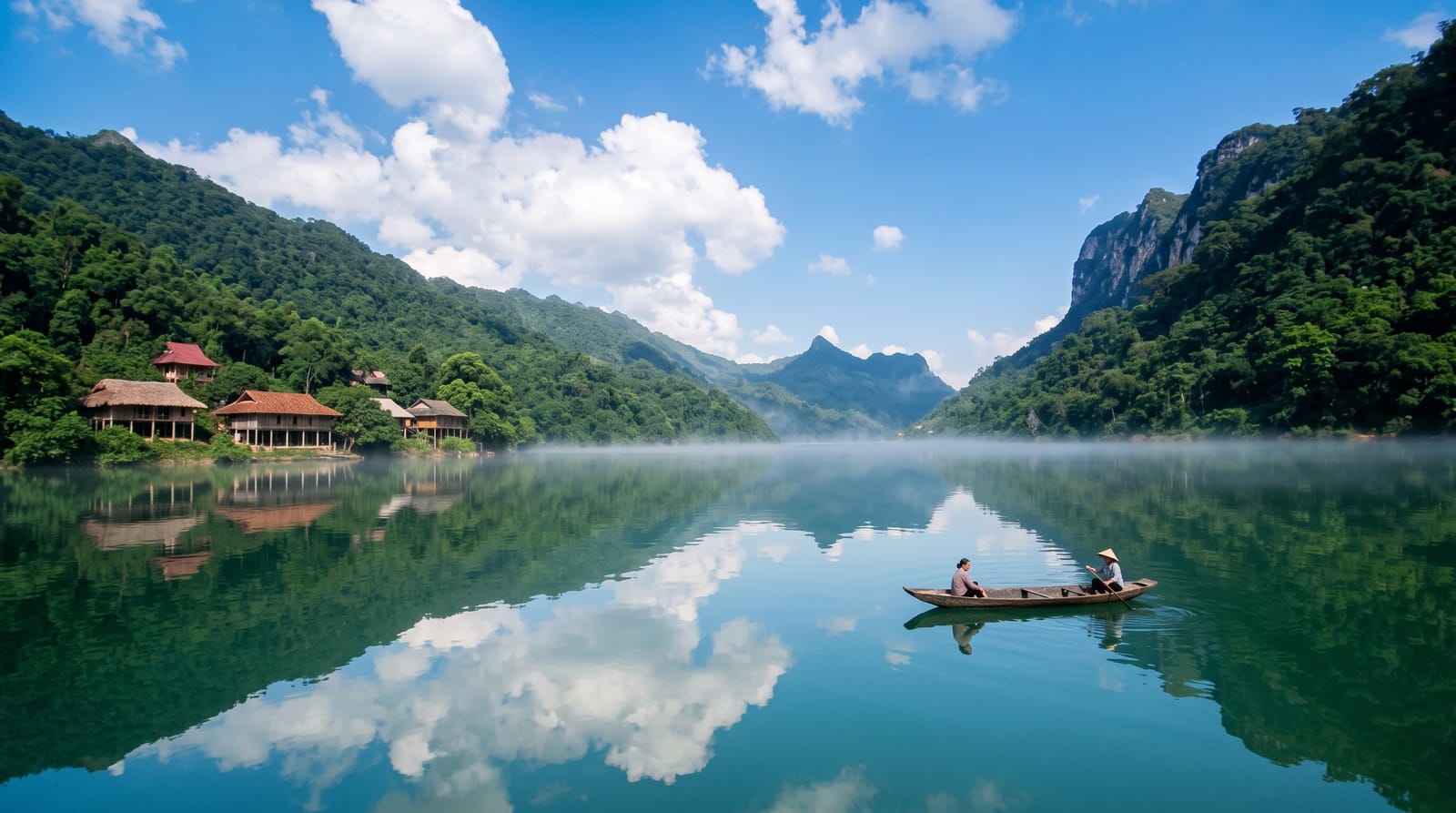
Dos Bocas was created in the 1940s by damming the Río Grande de Arecibo, and it drowned the valley floor between steep karst hills so thoroughly that several communities on its arms have no road access at all. The government runs free public launches from the main dock, a genuine ferry service rather than a tourist boat, calling at jetties around the lake on a set timetable; residents use it for the school run and the shopping. Visitors ride it for the scenery, green mogotes dropping straight into still water, and to reach the handful of family-run eating places on the shore that can only be arrived at by boat.
What you actually see
- The public launch - a free scheduled ferry around the lake's arms.
- The karst shoreline - round limestone hills dropping into the water.
- The boat-access communities - houses with no road to them.
- The dam and main dock - the starting point off Route 10.
When to go
December to April is drier and the lake is at its clearest. The launches run to a published timetable with more sailings at weekends; check the schedule, since the last return is early. Mornings are calm and reflective on the water.
Honest expectations
This is a working ferry, not a cruise: no commentary, basic boats, and a timetable that governs the whole visit, with the last return in the afternoon. Eating places on the shore keep their own hours, mostly weekends, so a midweek trip may find nothing open. Water levels and quality vary and swimming is not the point here.
Nearby
Caguana ceremonial site is half an hour; the Camuy caves are north.
What to pack for Lago Dos Bocas
Chosen from what this place is for. Tap a kit for the full checklist.
Opening times, ticket prices and seasonal closures change - check the official source before you go: official site.