The Río Tanamá
A river that disappears underground through the karst country, floated on inner tubes through caves lit only by openings in the roof.
Updated 2 September 2026

AI illustration
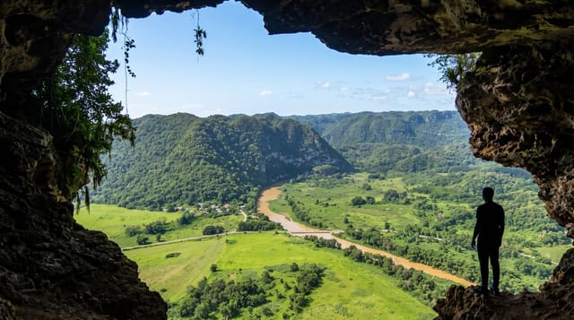
The Tanamá runs through the limestone belt of the northern interior and behaves as karst rivers do: it vanishes into the rock, runs underground for stretches, and reappears in sinkholes further down. Guided trips float the accessible sections on inner tubes, drifting from bright green pools into cave passages where the only light comes from collapse holes overhead and bats move against the roof. Between floats there are short walks, jumps from ledges into deep pools, and scrambles through chambers with stalactites. The trip is usually described as body rafting, and it is one of the few ways anyone gets inside this landscape without technical caving equipment.
What's there
- The cave sections - drifting through passages lit by holes in the roof.
- The green pools - deep clear water between the cave stretches.
- The jumps - ledge drops into pools, optional on most trips.
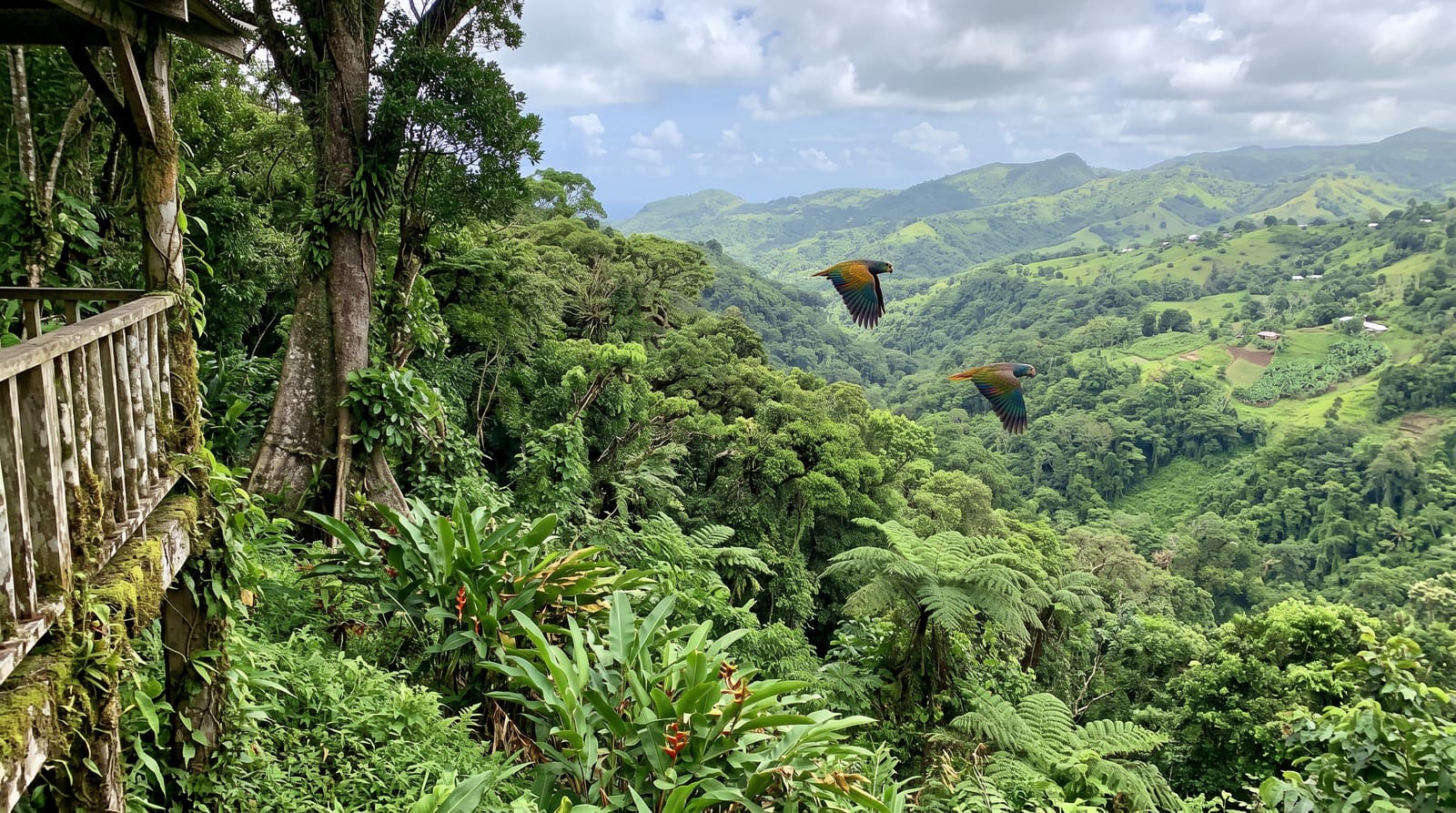
- The karst valley - mogote hills above the river the whole way.
When to go
December to April is the drier season and the water clearest; trips are cancelled entirely when the river rises, which happens fast after rain in the hills. Book ahead, as licensed operators run small groups. Water shoes and a helmet are provided.
Before you go
Trips are cancelled at short notice whenever it rains upstream, and the river can rise dangerously fast; a cancellation is the operator doing their job. It involves swimming in current, scrambling on wet rock and low ceilings, so it is not suitable for weak swimmers or anyone uneasy in confined spaces. The water is cold. Nothing electronic survives unless properly sealed.
Nearby
Cueva Ventana is nearby; the Camuy caves and Lago Dos Bocas are within half an hour.
Key facts
Source: Wikidata, item Q7386416, read on 18 October 2026.
What to pack for The Río Tanamá
Chosen from what this place is for. Tap a kit for the full checklist.
- Broken-in walking shoes or boots - Grip and ankle support matter more than looks; never hike in brand-new boots. Find on Amazon
- Reef-safe sunscreen - High SPF that will not bleach the coral you are swimming over. Find on Amazon
- Quick-dry clothing - Board shorts or synthetics that shrug off spray and dry fast. Find on Amazon
- Head torch + spare batteries - Hands-free light is essential; caves are truly dark. Find on Amazon
Some links on this page are Amazon affiliate links - if you buy through them we may earn a small commission at no extra cost to you.
All packing kitsPlan your trip
Where to start if The Río Tanamá is going on the list.
Booking links on this page are affiliate links - if you book through them we may earn a small commission at no extra cost to you. It never changes what we write about a place.
Opening times, ticket prices and seasonal closures change - check the official source before you go: official site.