Pongour Waterfall
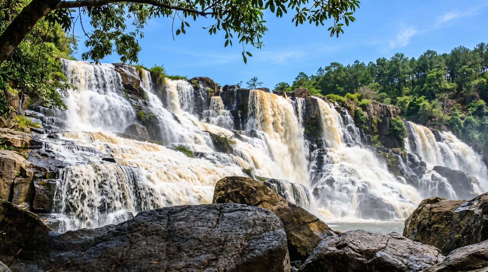
A wide, terraced waterfall south of Da Lat where the river spreads across curved basalt steps into a broad shallow pool.
Updated 30 August 2026
AI illustration
Pongour is the largest of the falls around Da Lat, a curved wall of rock roughly a hundred metres across where the river breaks into dozens of separate streams and steps down over stacked basalt ledges. Unlike the falls closer to town it has been left comparatively plain: a path descends through pine and broadleaf forest to a viewing area at the base, and in low water you can walk out onto the lower terraces. The pool below is wide and shallow at the edges. It is a stop rather than a day out, usually taken on the drive south from Da Lat toward the coast or the highway to Ho Chi Minh City.
What's there
- The terraced face - the wide curved wall where the river splits across basalt ledges.
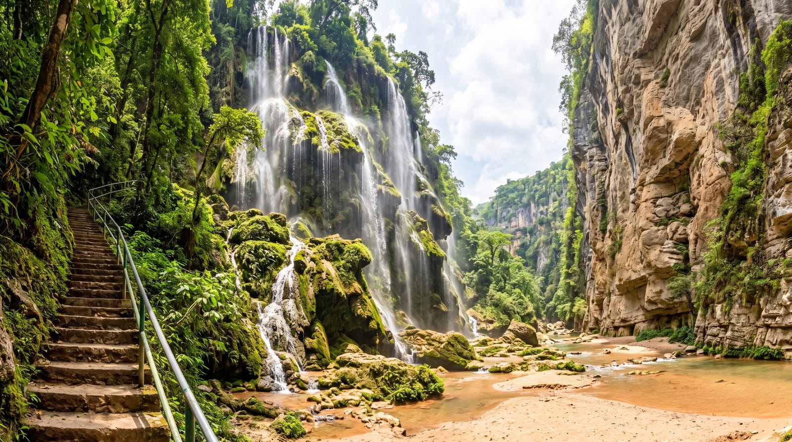
- The forest descent - the stepped path down through pine and broadleaf trees.
- The lower rock shelves - flat terraces you can walk out onto when the water is low.
- The plunge pool - the broad shallow basin at the foot of the falls.
When to go
July to November, at the end of the rains, gives the fullest flow across the whole width; by March the falls can thin to a few strands over bare rock. Mornings are quieter and the light reaches the face. Weekends bring domestic visitors up from Da Lat and the coast, and the site is busiest during Vietnamese holidays.
Good to know
Flow is the whole point and it varies enormously, so a dry season visit can be flatly disappointing. The site has picked up the usual add-ons: ticket booth, souvenir stalls and piped music near the entrance. The steps down are steep and the rock at the base is slippery and has caused accidents. It is a forty kilometre drive each way for a stop of about an hour.
Nearby
Da Lat is an hour north, and the Prenn pass road drops from there toward the coast.
Key facts
Source: Wikidata, item Q10825668, read on 18 October 2026.
What to pack for Pongour Waterfall
Chosen from what this place is for. Tap a kit for the full checklist.
- Broken-in walking shoes or boots - Grip and ankle support matter more than looks; never hike in brand-new boots. Find on Amazon
- Layers + a waterproof shell - Mountain weather turns fast; a packable rain jacket saves the day. Find on Amazon
- Daypack with rain cover - 20-30 litres holds water, snacks, layers and a first-aid kit. Find on Amazon
- Offline maps + a power bank - Download the trail before you lose signal; carry backup charge. Find on Amazon
Some links on this page are Amazon affiliate links - if you buy through them we may earn a small commission at no extra cost to you.
All packing kitsPlan your trip
Where to start if Pongour Waterfall is going on the list.
Booking links on this page are affiliate links - if you book through them we may earn a small commission at no extra cost to you. It never changes what we write about a place.
Opening times, ticket prices and seasonal closures change - check the official source before you go: official site.