Ma Pi Leng Pass
A high mountain pass in far northern Vietnam where the road runs along a bare cliff above the Nho Que river gorge.
Updated 30 August 2026
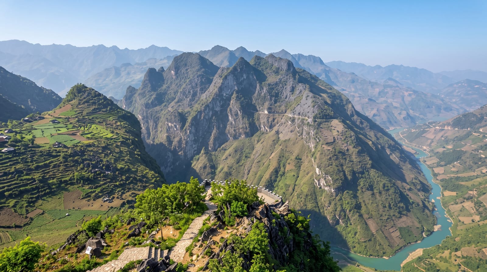
AI illustration
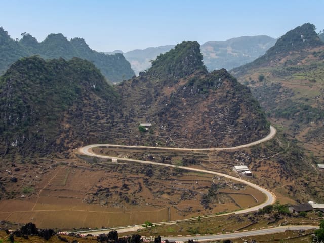
Ma Pi Leng is the highest and most exposed section of the Happiness Road, the route that links Dong Van and Meo Vac across the limestone plateau of northern Ha Giang. For about twenty kilometres the tarmac is cut into a cliff face, with bare grey rock above and, several hundred metres below, the Nho Que river running turquoise through a narrow gorge. A few pull-ins and a small terrace let you stop and look straight down. Most people ride it by motorbike as part of the Ha Giang loop, either self-driven or on the back of a local driver's bike, and the pass is usually the point where the trip stops being about distance and starts being about the view.
What's there
- The gorge edge - the road cut into a cliff with the river several hundred metres below.
- Nho Que river - the turquoise water threading the canyon floor, seen from the terrace viewpoints.
- The Happiness Road - the hand-built mountain highway that links Dong Van and Meo Vac.
- Highland hamlets - Hmong houses and maize plots clinging to the slopes on either side of the pass.
When to go
September to November brings the clearest air and the buckwheat flowers on the plateau; March and April are also reasonably dry. Cloud often sits in the gorge all morning, so late morning to mid afternoon usually gives the best visibility. Summer rain makes the road slick, and landslides occasionally close short sections for a day or two.
Practical notes
The pass is the busiest stop on the Ha Giang loop and the main viewpoints fill with tour groups and parked bikes. Riding here needs real confidence: the road is narrow, trucks come round blind corners and there are long drops with no barrier. Inexperienced riders should take a local driver. Fog can hide the gorge entirely, and then there is nothing to do but wait.
Nearby
Dong Van's karst plateau lies west, Meo Vac and its market east, and boat trips into Tu San canyon start below the pass.
Key facts
Source: Wikidata, item Q6949928, read on 18 October 2026.
What to pack for Ma Pi Leng Pass
Chosen from what this place is for. Tap a kit for the full checklist.
- Broken-in walking shoes or boots - Grip and ankle support matter more than looks; never hike in brand-new boots. Find on Amazon
- Reef-safe sunscreen - High SPF that will not bleach the coral you are swimming over. Find on Amazon
- Padded shorts - The one thing that makes a full day in the saddle bearable. Find on Amazon
- Spare batteries + cards - Cold and long shoots drain power; never run out at the good light. Find on Amazon
Some links on this page are Amazon affiliate links - if you buy through them we may earn a small commission at no extra cost to you.
All packing kitsPlan your trip
Where to start if Ma Pi Leng Pass is going on the list.
Booking links on this page are affiliate links - if you book through them we may earn a small commission at no extra cost to you. It never changes what we write about a place.
Opening times, ticket prices and seasonal closures change - check the official source before you go: official site.