Keiservarden
A plateau above Bodo with a cairn raised for a visiting emperor, and the standard evening walk for the town.
Updated 4 September 2026
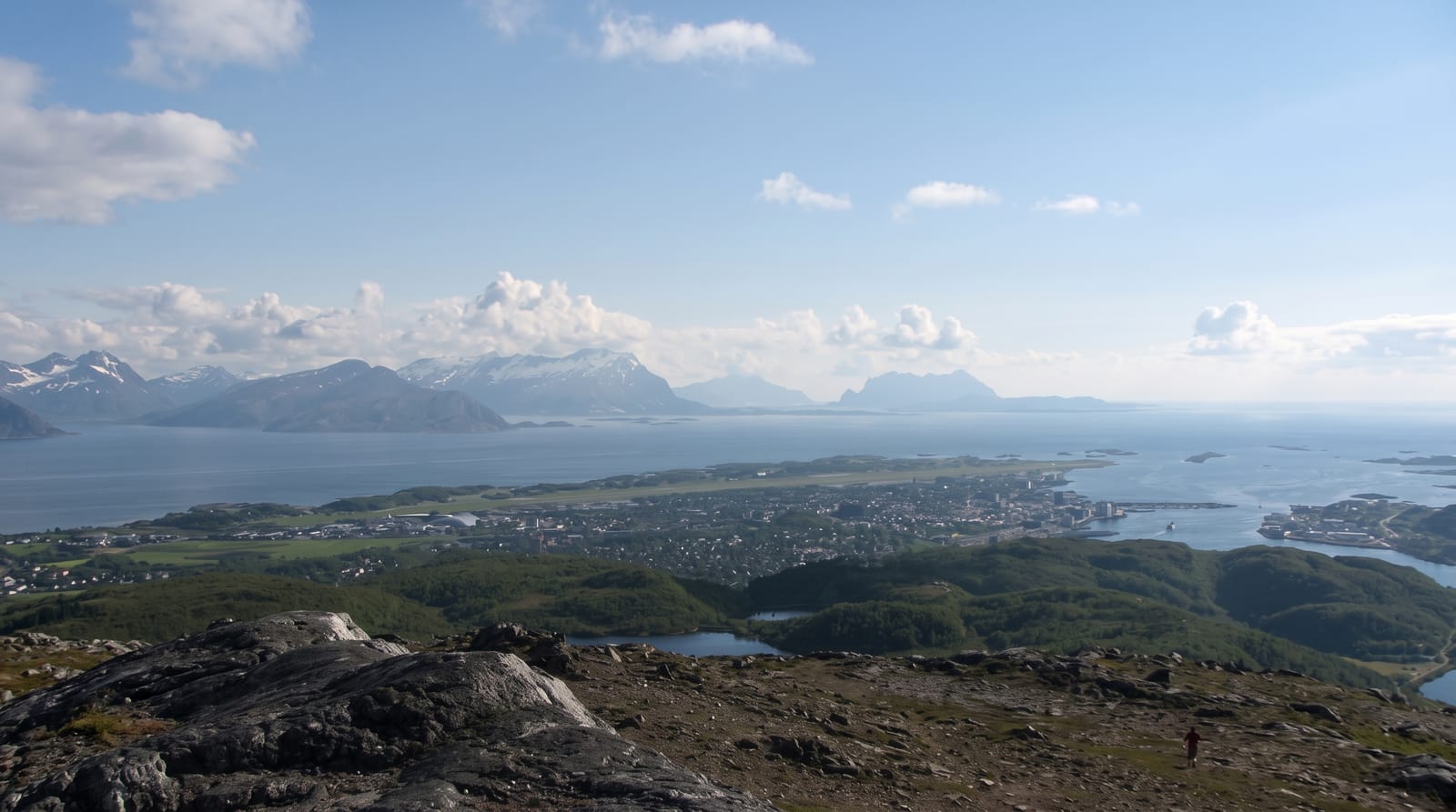
AI illustration
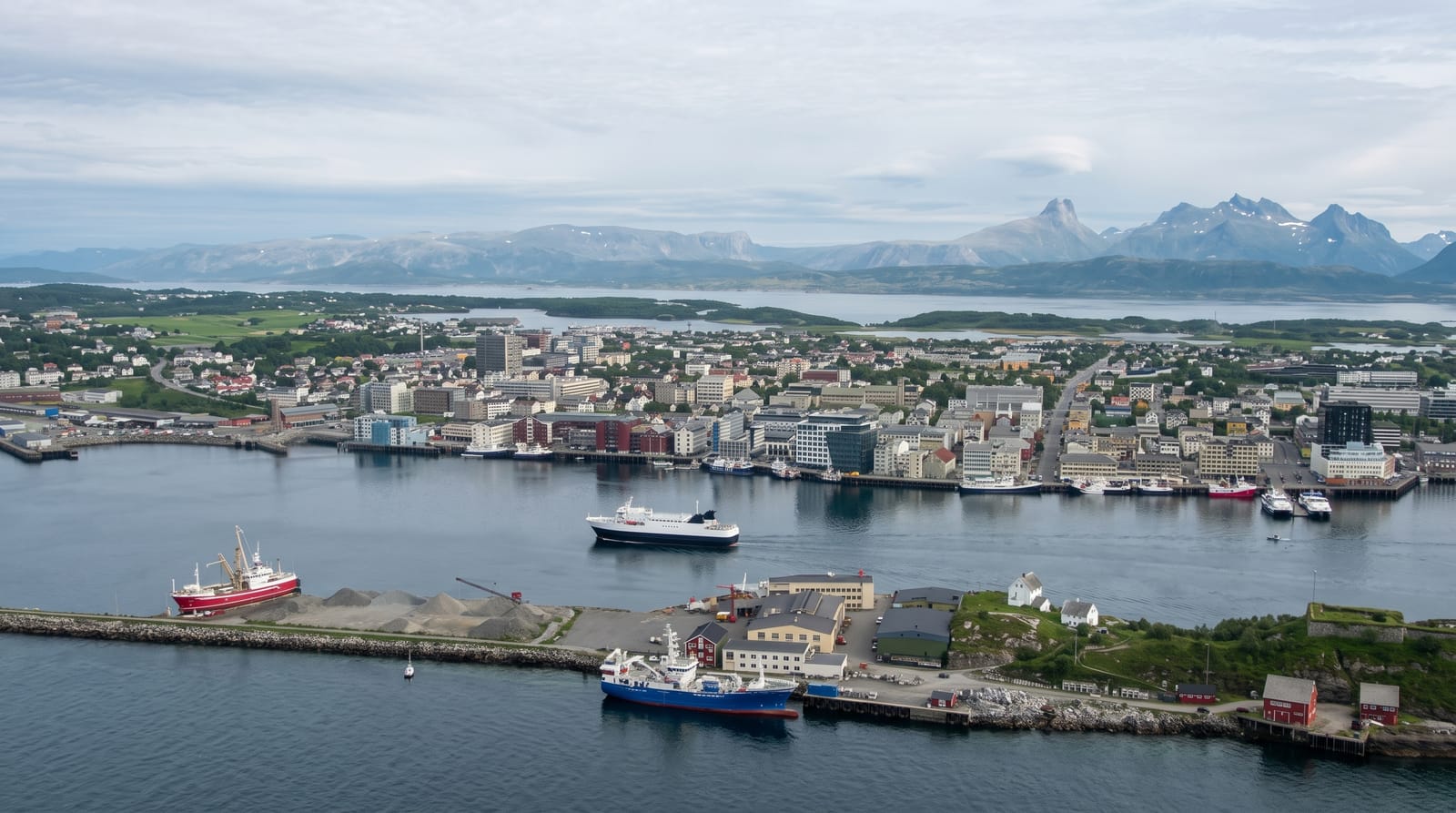
Keiservarden is a flat rocky plateau at 366 metres above Bodo, and the cairn on it was built in 1889 for the visit of Kaiser Wilhelm II, who came here as part of the fashion among European royalty for northern travel. The walk from Maskinisten takes about an hour on a good marked path, popular enough that on a fine evening a steady stream of local people goes up after work. From the top the view runs over Bodo and the airport, out to the Lofoten wall on the horizon, over the Vestfjord and inland to the Borvasstindan peaks. In summer the midnight sun is visible from here between early June and early July, which is when the plateau gets busiest.
Highlights
- The emperor's cairn - a stone marker built for the 1889 royal visit.
- The Lofoten view - the island wall on the horizon across the Vestfjord.
- The town below - Bodo, its harbour and the airport runway.
- The midnight sun - visible from the plateau in June and early July.
When to go
May to September for the easiest walking; June and early July for the midnight sun, which is the busiest period. The path is used year-round but ices badly in winter and needs spikes.
Before you go
The path is steady rather than steep but is rocky and wet in places. There is no shelter on the plateau and the wind can be strong. Cloud frequently hides the Lofoten view that most people come for.
Nearby
Bodo town and its Norwegian Aviation Museum are below; Saltstraumen and Kjerringoy lie south and north.
Key facts
Source: Wikidata, item Q11980475, read on 18 October 2026.
What to pack for Keiservarden
Chosen from what this place is for. Tap a kit for the full checklist.
- Broken-in walking shoes or boots - Grip and ankle support matter more than looks; never hike in brand-new boots. Find on Amazon
- Spare batteries + cards - Cold and long shoots drain power; never run out at the good light. Find on Amazon
- Warm base layers - Merino or synthetic against the skin - never cotton, which chills when damp. Find on Amazon
- Layers + a waterproof shell - Mountain weather turns fast; a packable rain jacket saves the day. Find on Amazon
Some links on this page are Amazon affiliate links - if you buy through them we may earn a small commission at no extra cost to you.
All packing kitsPlan your trip
Where to start if Keiservarden is going on the list.
Booking links on this page are affiliate links - if you book through them we may earn a small commission at no extra cost to you. It never changes what we write about a place.
Opening times, ticket prices and seasonal closures change - check the official source before you go: official site.