Ontika Klint
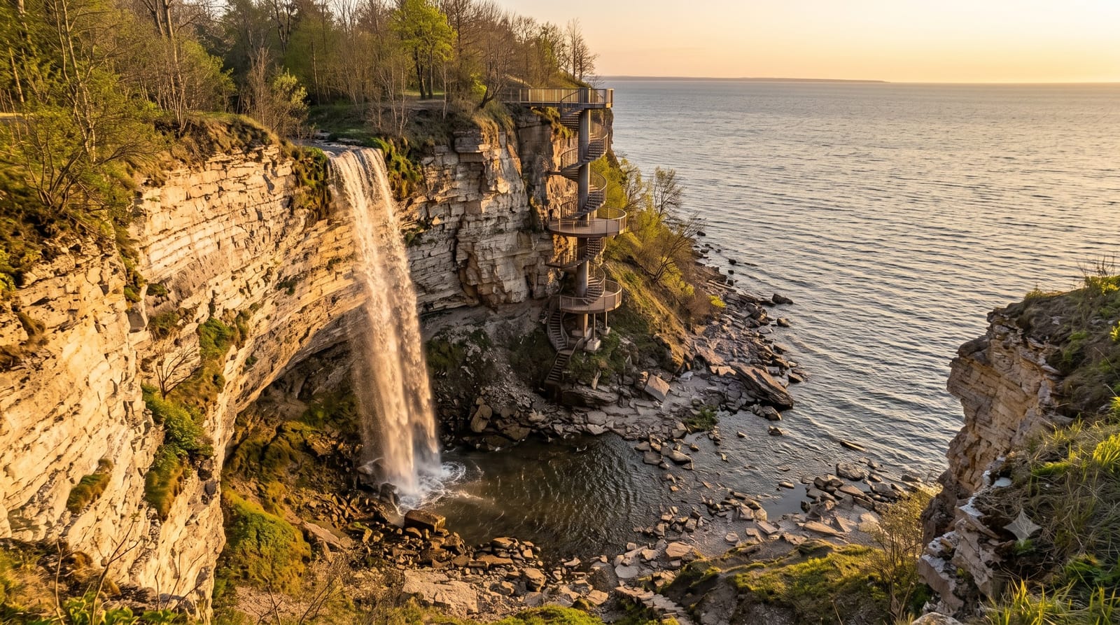
The highest stretch of the Baltic Klint in Estonia - a fifty-metre limestone escarpment running along the north coast, with the sea directly below it.
Updated 1 September 2026
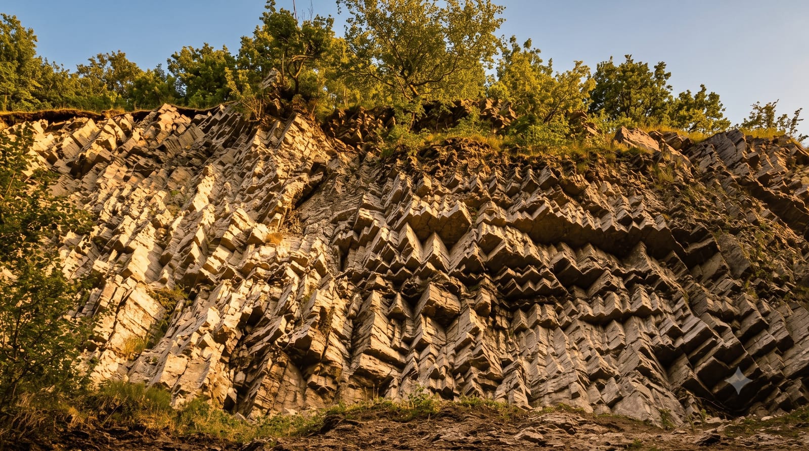
Illustration
Real photos (1)
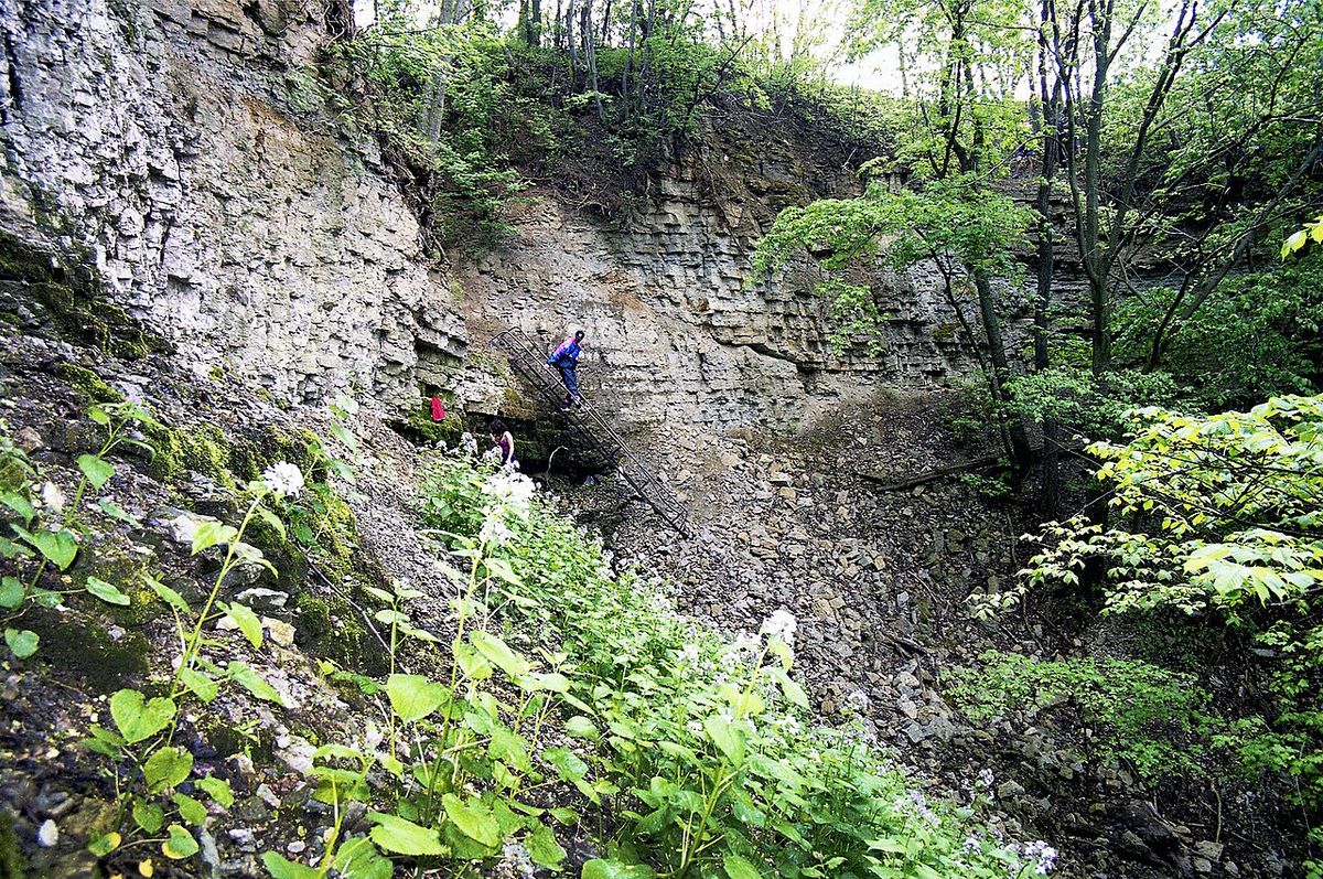
The Baltic Klint runs for well over a thousand kilometres from Sweden to Russia, and Ontika is where it reaches its highest point in Estonia at around fifty-six metres. It is the single largest landform in a country that has almost none, and it defines the whole north coast.
What you actually see
- The escarpment - a long wooded ridge with the sea below and marked viewpoints along it.
- The rock face - pale banded limestone, Ordovician and Cambrian, stacked horizontally and legible from a distance.
- The boulder shore - a narrow strip at the bottom, reachable by steps at a few points.
- Valaste waterfall - dropping over the klint at the western end of this stretch.
When to go
Autumn brings storms on the sea below the cliff and colour in the escarpment forest. Winter puts ice on the face and the shore, and shows the layering at its clearest without leaves. Summer is green and pleasant, but the cliff is largely hidden by foliage when seen from above.
Honest expectations
The klint is mostly wooded, so for long stretches you cannot see the drop at all - the marked viewpoints are the only reliable places to get the view, and there are only a handful of them.
The edge is actively eroding and unfenced in places. Sections of stairs down to the shore have been closed after collapses; check what is currently open rather than relying on an old map.
Nearby
Valaste waterfall is at the western end. Toila-Oru park and the mining museum at Kohtla-Nõmme are both within half an hour.
What to pack for Ontika Klint
Chosen from what this place is for. Tap a kit for the full checklist.
Plan your trip
Where to start if Ontika Klint is going on the list.
Booking links on this page are affiliate links - if you book through them we may earn a small commission at no extra cost to you. It never changes what we write about a place.
Opening times, ticket prices and seasonal closures change - check the official source before you go: official site.