The Blue Ridge Parkway
A 469-mile ridge-top road through the southern Appalachians with no trucks, no billboards and an overlook every few miles.
Updated 30 August 2026
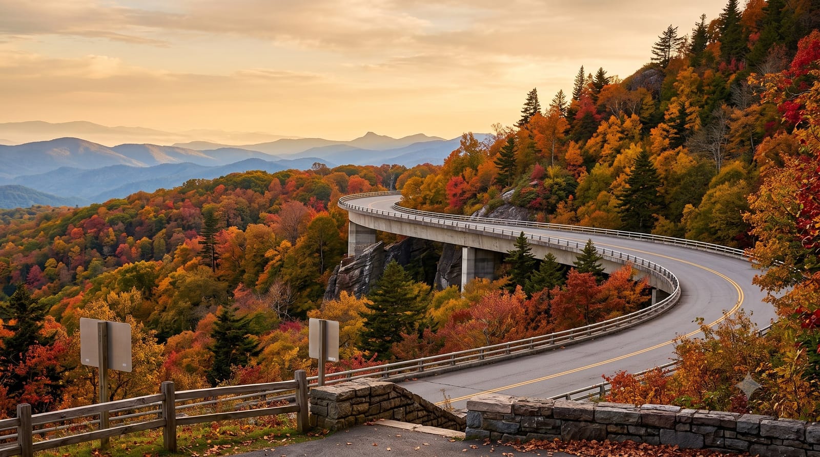
AI illustration
The Blue Ridge Parkway runs for four hundred and sixty-nine miles along the crest of the southern Appalachians, built through the 1930s as a scenic road and designed so that commercial traffic is banned, there are no billboards, junctions are grade-separated, and the whole thing curves gently at a speed limit that rarely exceeds forty-five miles an hour. It is consistently among the most visited units in the entire national park system. Overlooks come every few miles, looking out over ridge after ridge fading into blue haze, and trails run off it to waterfalls, balds and summits including Mount Mitchell, the highest point east of the Mississippi. Along the way are restored mountain farms, a working grist mill at Mabry Mill and folk-art centres.
The landscape
- The overlooks - ridge after ridge fading blue, particularly at Craggy Gardens and Linville.
- Mabry Mill - the photogenic working grist mill in Virginia.
- Mount Mitchell - the highest summit east of the Mississippi, reached by a spur road.
- Autumn colour - the reason the road is famous, peaking through October.
When to go
Late September into late October is peak colour, working down from the higher elevations, and it is by far the busiest time; May and June bring rhododendron and catawba in bloom. Sections close in winter for ice and snow, sometimes for months, so check the closure map before planning any winter drive.
Practical notes
It is slow by design, so covering the full length takes several days and treating it as a route between two places is a mistake. Winter closures are extensive and unpredictable. In peak October the overlooks and the road itself are crowded, and accommodation in Asheville books out months ahead. Fog on the ridge can erase the views entirely.
Nearby
Asheville and the Biltmore Estate sit at the midpoint; the Great Smoky Mountains are at the southern end.
What to pack for The Blue Ridge Parkway
Chosen from what this place is for. Tap a kit for the full checklist.
- Broken-in walking shoes or boots - Grip and ankle support matter more than looks; never hike in brand-new boots. Find on Amazon
- Spare batteries + cards - Cold and long shoots drain power; never run out at the good light. Find on Amazon
- Warm base layers - Merino or synthetic against the skin - never cotton, which chills when damp. Find on Amazon
- Layers + a waterproof shell - Mountain weather turns fast; a packable rain jacket saves the day. Find on Amazon
Some links on this page are Amazon affiliate links - if you buy through them we may earn a small commission at no extra cost to you.
All packing kitsPlan your trip
Where to start if The Blue Ridge Parkway is going on the list.
Booking links on this page are affiliate links - if you book through them we may earn a small commission at no extra cost to you. It never changes what we write about a place.
Opening times, ticket prices and seasonal closures change - check the official source before you go: official site.