Khanh Le Pass
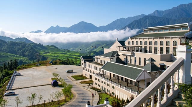
The road between Nha Trang and Da Lat, climbing from coast to plateau through a wall of cloud.
Updated 30 August 2026
Khanh Le, sometimes called the Hon Giao or Bidoup pass, carries road 27C from the coast at Nha Trang up onto the Lam Dong plateau, climbing to about 1,700 metres over some thirty kilometres of switchbacks and cutting the journey to Da Lat from a long detour to a few hours. The pass is a climatic boundary as much as a road: the coastal side is warm and often clear while the plateau side sits under cloud, and the transition happens over a few hundred metres of altitude. It runs along the edge of Bidoup-Nui Ba national park, and the forest either side is intact.
What to look for
- A climb from coast to plateau - about 1,700 metres at the top.
- A climatic boundary - warm and clear below, cloud above.
- Intact forest either side - along Bidoup-Nui Ba park.
- Thirty kilometres of switchbacks - the shortcut to Da Lat.
When to go
December to August; landslides close it in the wet season. Half a day.
Before you go
Landslides have closed this road for extended periods and the surface varies. Fog on the plateau side reduces visibility to very little. Lorries and buses take the bends wide. There are few stopping places.
Nearby
Da Lat is west; Nha Trang and the coast are east.
What to pack for Khanh Le Pass
Chosen from what this place is for. Tap a kit for the full checklist.
- Comfortable walking shoes - Sightseeing means kilometres of pavement and cobbles daily. Find on Amazon
- A slim anti-theft daypack - Zips that close properly; keep it in front in crowds and on transit. Find on Amazon
- A refillable water bottle - Many cities have public fountains; save money and plastic. Find on Amazon
- A light layer + compact umbrella - For museum air-con and a sudden shower. Find on Amazon
Some links on this page are Amazon affiliate links - if you buy through them we may earn a small commission at no extra cost to you.
All packing kitsPlan your trip
Where to start if Khanh Le Pass is going on the list.
Booking links on this page are affiliate links - if you book through them we may earn a small commission at no extra cost to you. It never changes what we write about a place.
Opening times, ticket prices and seasonal closures change - check the official source before you go: official site.