Hai Van Pass
A coastal mountain pass between Hue and Da Nang where the old road switchbacks to a saddle with views over two bays.
Updated 12 October 2026
AI illustration
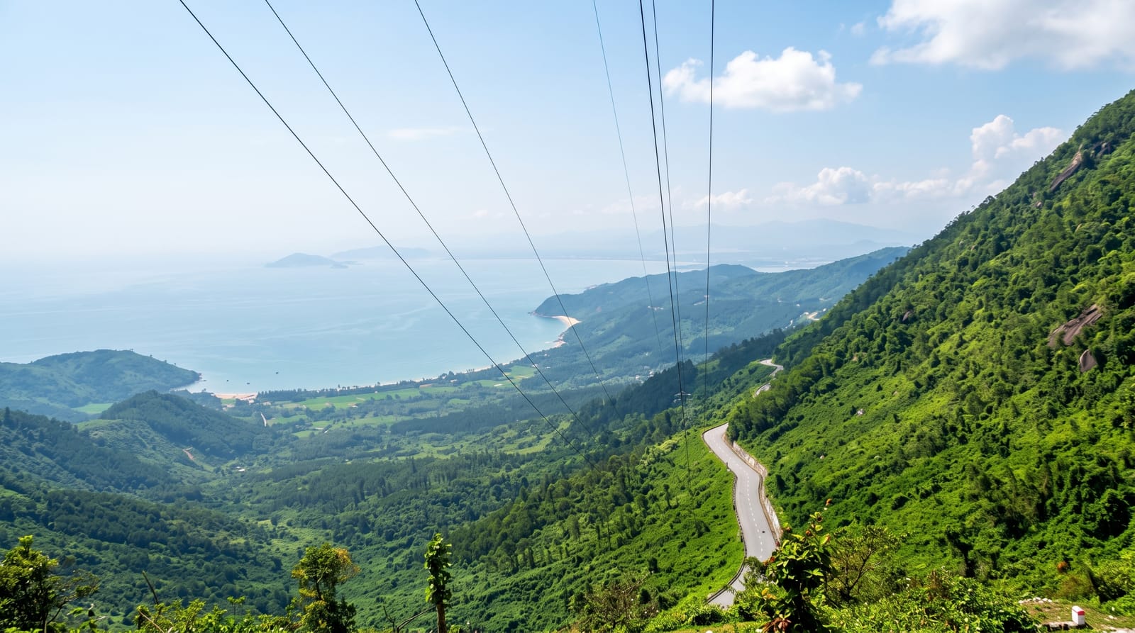
Hai Van is the ridge where the Truong Son range runs into the sea, and the old road over it climbs in tight switchbacks to a saddle at around five hundred metres. Since the tunnel opened underneath, most traffic goes through the mountain, leaving the pass to motorbikes, tour cars and a handful of trucks. At the top there is a restored stone gateway from the Nguyen period, a cluster of drink stalls and views in both directions: Lang Co lagoon and its long sandbar to the north, Da Nang bay and the Son Tra headland to the south. The ride itself, about twenty kilometres of curves with the sea below, is the main reason people come.
The landscape
- The saddle viewpoint - the top of the pass with bays visible to north and south.
- Lang Co lagoon - the long sandbar and shallow lagoon seen on the northern descent.
- The Nguyen-era gateway - the restored stone gate and walls standing at the summit.
- The switchbacks - the coastal curves that make the ride the point of the trip.
When to go
February to August is the drier season and the pass is often clear in the morning; cloud and drizzle sit on the ridge for much of the autumn and winter. Ride early to avoid both the heat and the tour traffic. The road can close briefly during storms, and the tunnel is the alternative, though motorbikes are not allowed through it.
Things to know
The summit area is small and gets busy with tour groups, guided riders and drone operators, so the photograph everyone wants involves waiting. Vendors at the top are pushy and prices inflated. Visibility is unreliable: a low cloud base can reduce the view to a few metres of wall. The surface is patchy in places and rain makes the curves genuinely slippery.
Nearby
Da Nang and the Son Tra peninsula are twenty minutes south; Lang Co beach lies north-west and Bach Ma west.
Key facts
Source: Wikidata, item Q1477078, read on 18 October 2026.
What to pack for Hai Van Pass
Chosen from what this place is for. Tap a kit for the full checklist.
- Broken-in walking shoes or boots - Grip and ankle support matter more than looks; never hike in brand-new boots. Find on Amazon
- Reef-safe sunscreen - High SPF that will not bleach the coral you are swimming over. Find on Amazon
- Spare batteries + cards - Cold and long shoots drain power; never run out at the good light. Find on Amazon
- Layers + a waterproof shell - Mountain weather turns fast; a packable rain jacket saves the day. Find on Amazon
Some links on this page are Amazon affiliate links - if you buy through them we may earn a small commission at no extra cost to you.
All packing kitsPlan your trip
Where to start if Hai Van Pass is going on the list.
Booking links on this page are affiliate links - if you book through them we may earn a small commission at no extra cost to you. It never changes what we write about a place.
Opening times, ticket prices and seasonal closures change - check the official source before you go: official site.