Laguna Merin
A vast shallow lagoon on the Brazilian border, fringed by rice fields, wetland and beaches.
Updated 2 September 2026
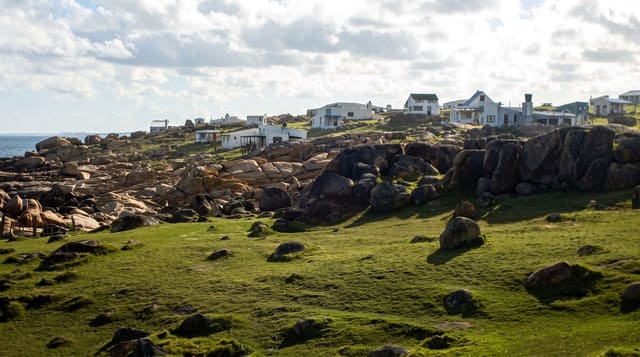
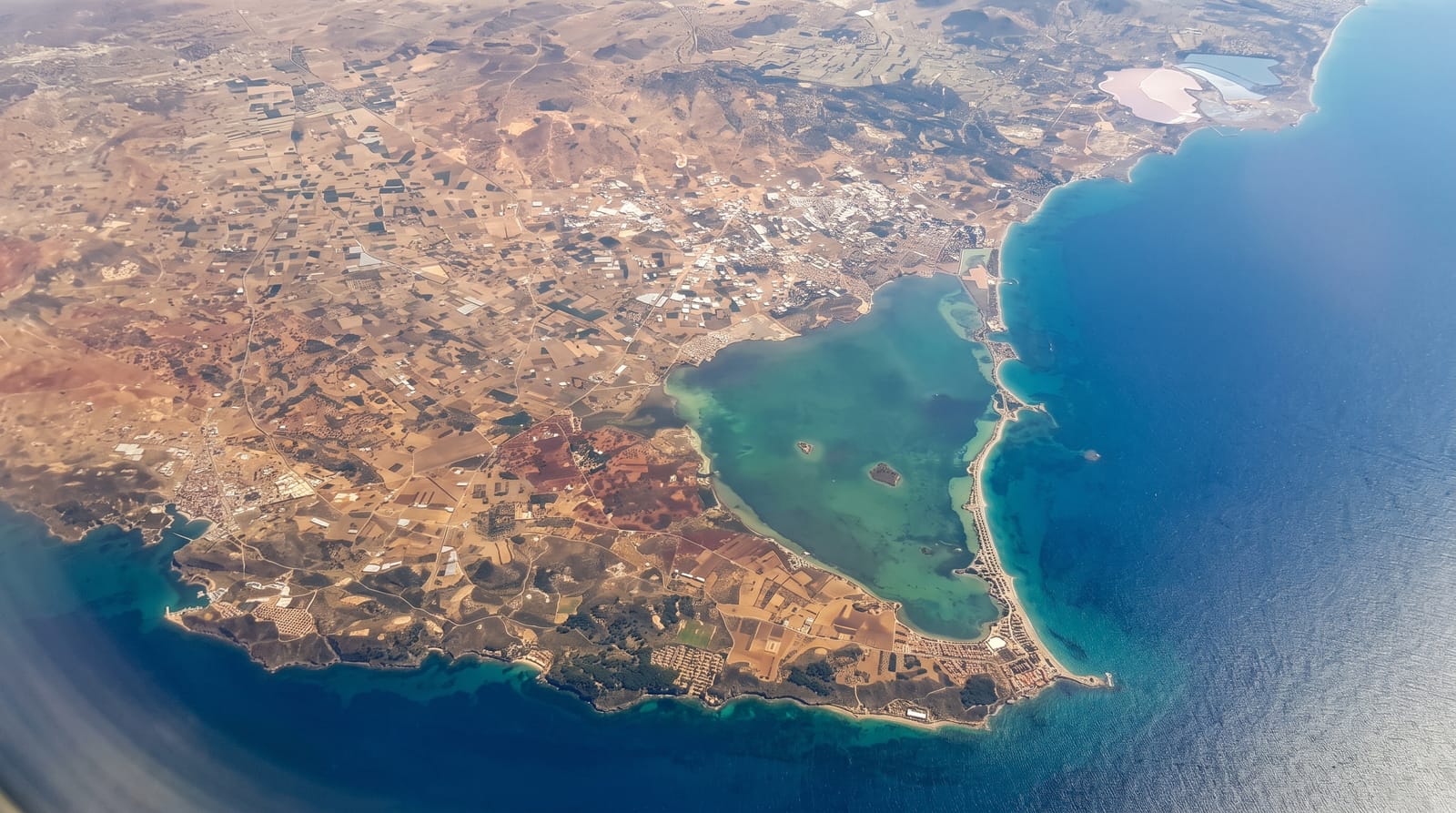
Laguna Merín is a shallow freshwater lagoon of some three and a half thousand square kilometres straddling the border with Brazil, fed by the Cebollatí and Tacuarí and draining north through Brazilian channels. On the Uruguayan side the shore is a mix of sand beaches, wetland and the rice fields that dominate this region's farming. The surrounding marshes are part of the Bañados del Este biosphere reserve and hold very large numbers of waterbirds.
The landscape
- The scale - a shallow lagoon of some three and a half thousand square kilometres.
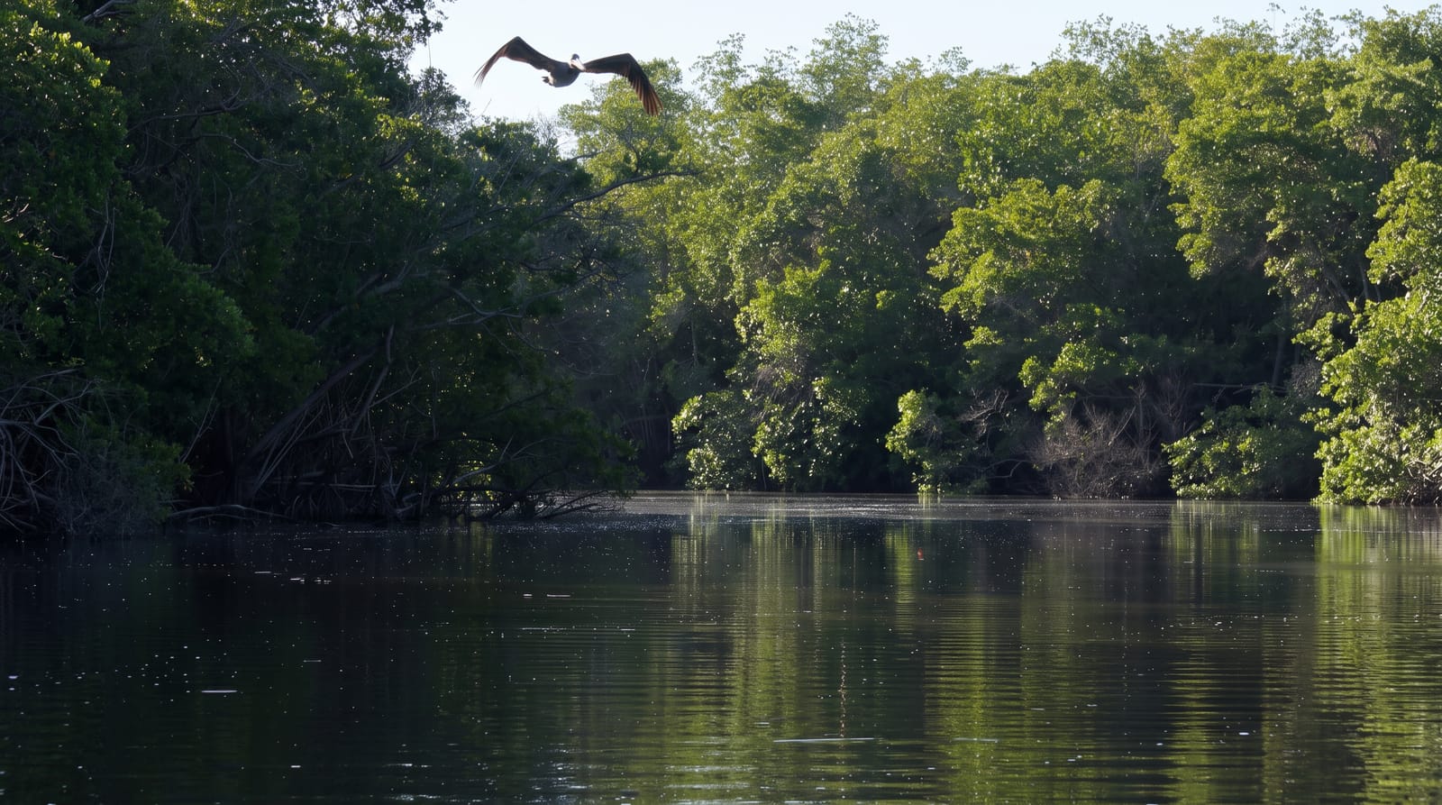
- The wetlands - marshes on the Uruguayan shore within the biosphere reserve.
- The waterbirds - herons, storks, ducks and raptors in large numbers.
- The rice country - the paddies that shape the farming of the region.
When to go
October to April is best for the tracks and for birds. Winter brings high water and flooding. Mosquitoes in summer are severe.
What to expect
There is very little tourism infrastructure on the Uruguayan shore. Access tracks flood and are often impassable. Rice farming has altered much of the surrounding wetland.
Nearby
Rio Branco is on the border, and Treinta y Tres is west.
Key facts
Source: Wikidata, item Q876280, read on 18 October 2026.
What to pack for Laguna Merin
Chosen from what this place is for. Tap a kit for the full checklist.
- Broken-in walking shoes or boots - Grip and ankle support matter more than looks; never hike in brand-new boots. Find on Amazon
- Reef-safe sunscreen - High SPF that will not bleach the coral you are swimming over. Find on Amazon
- Layers + a waterproof shell - Mountain weather turns fast; a packable rain jacket saves the day. Find on Amazon
- Quick-dry towel - A microfibre towel packs small and dries in minutes. Find on Amazon
Some links on this page are Amazon affiliate links - if you buy through them we may earn a small commission at no extra cost to you.
All packing kitsPlan your trip
Where to start if Laguna Merin is going on the list.
Booking links on this page are affiliate links - if you book through them we may earn a small commission at no extra cost to you. It never changes what we write about a place.
Opening times, ticket prices and seasonal closures change - check the official source before you go: official site.