Messolonghi Lagoon
The largest lagoon system in Greece, worked with fish weirs and salt pans and dotted with stilt huts on the water.
Updated 4 September 2026
AI illustration
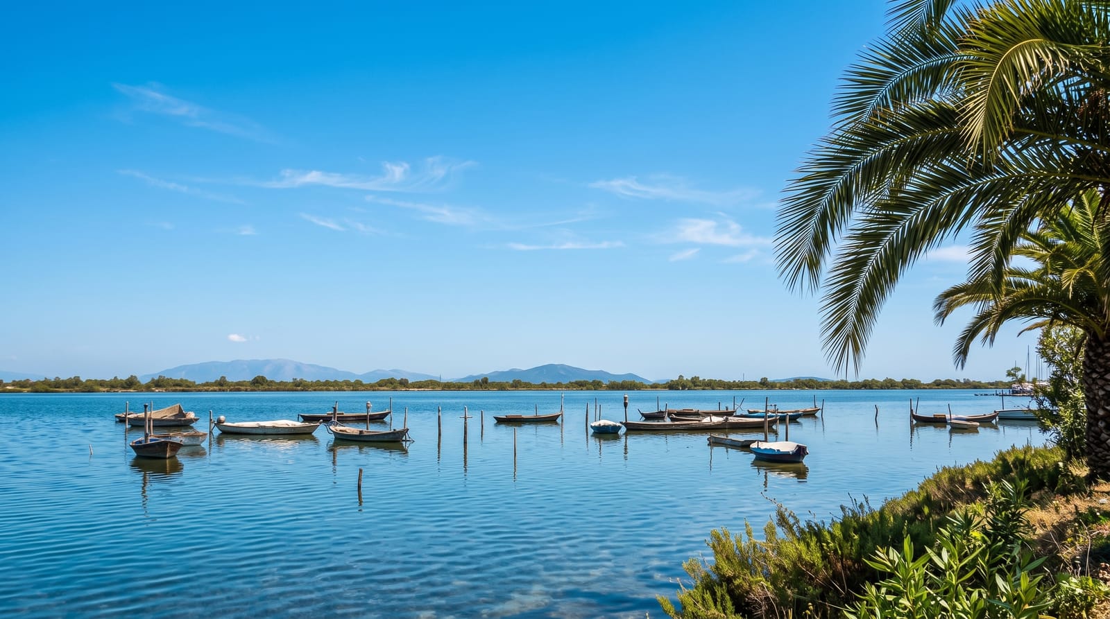
The Messolonghi-Aitoliko lagoon complex covers roughly 150 square kilometres of shallow brackish water, sandbars and salt marsh at the mouths of the Acheloos and Evinos rivers, protected as a Ramsar wetland. It is a working landscape as much as a wild one: traditional fish traps called divaria funnel migrating fish into enclosures, salt pans crystallise sea salt in summer, and hundreds of pelades, timber huts on stilts, stand out in the water, some still used by fishermen. Bird numbers are among the highest in Greece, with flamingos, pelicans, avocets and large winter flocks; the Dalmatian pelican is a regular. Causeways carry roads far out across the water, and the town of Aitoliko sits on an island in the northern lagoon, reached by two bridges.
What's there
- The stilt huts - timber pelades standing out in the shallow water.
- The fish weirs - traditional divaria traps still worked by families.
- The salt pans - evaporation basins turning pink in summer.
- Aitoliko - a town built on an island, joined by causeway bridges.
When to go
Spring and autumn for migration and comfortable temperatures; winter brings the largest flocks. Summer is hot, still and mosquito-ridden, though the salt pans are at their most colourful.
What to expect
The landscape is flat, industrial in places and requires patience to appreciate; there are few visitor facilities and no formal hides. Mosquitoes are severe from late spring. A car and binoculars are essential.
Nearby
Aitoliko lies in the northern lagoon; Nafpaktos and the bridge to the Peloponnese are east.
Key facts
Source: Wikidata, item Q6822038, read on 18 October 2026.
What to pack for Messolonghi Lagoon
Chosen from what this place is for. Tap a kit for the full checklist.
- Broken-in walking shoes or boots - Grip and ankle support matter more than looks; never hike in brand-new boots. Find on Amazon
- Reef-safe sunscreen - High SPF that will not bleach the coral you are swimming over. Find on Amazon
- Shelter suited to the place - Tent, tarp or hut booking - match it to the terrain and rules. Find on Amazon
- Layers + a waterproof shell - Mountain weather turns fast; a packable rain jacket saves the day. Find on Amazon
Some links on this page are Amazon affiliate links - if you buy through them we may earn a small commission at no extra cost to you.
All packing kitsPlan your trip
Where to start if Messolonghi Lagoon is going on the list.
Booking links on this page are affiliate links - if you book through them we may earn a small commission at no extra cost to you. It never changes what we write about a place.
Opening times, ticket prices and seasonal closures change - check the official source before you go: official site.