Outer Hebrides
A 200-kilometre island chain off northwest Scotland, with shell-sand beaches, flowering machair grassland, peat moor and Gaelic still in daily use.
Updated 4 September 2026

AI illustration
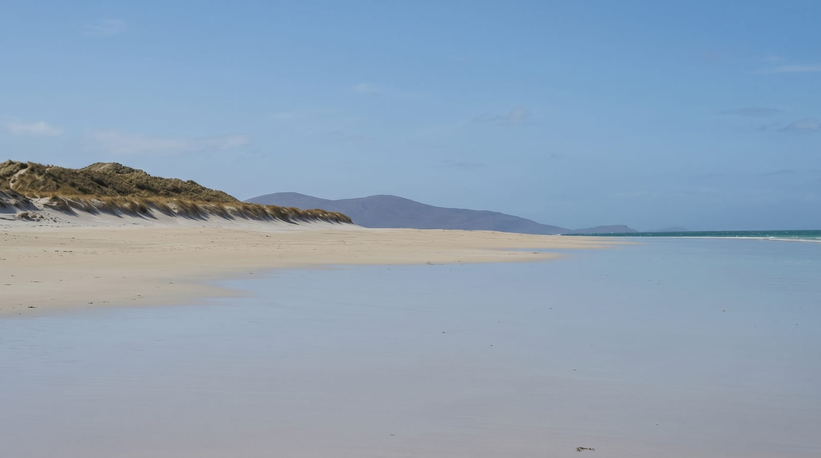
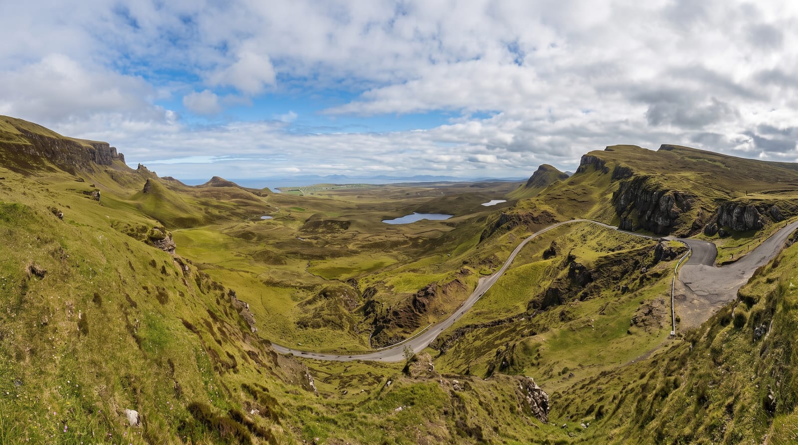
The chain runs from Lewis in the north to Barra in the south, linked by causeways and short ferry hops, and the two coasts of each island are completely different. The Atlantic side has shell-sand beaches that turn the water pale green and, behind them, machair - a fertile lime-rich grassland formed from crushed shell that flowers in a dense sheet through June and July and supports corncrakes. The eastern side is bare gneiss and peat, dark and rocky, with tiny inlets. Lewis holds the Calanais standing stones, tall thin slabs raised around 3000 BC, and the restored blackhouse village at Gearrannan. Harris has the mountain ground and the beaches at Luskentyre and Seilebost. The chain observes a quiet Sunday, and Gaelic remains the working language in many communities.
The landscape
- Luskentyre and Seilebost - long shell-sand beaches on the Harris coast.
- Machair in flower - lime-rich grassland dense with wildflowers in summer.
- Calanais standing stones - a Neolithic stone setting on Lewis.
- Gearrannan blackhouse village - restored thatched drystone dwellings.
When to go
June and July for machair flowers, near-endless daylight and the best chance of settled weather. May is quieter with fewer midges. Book vehicle ferries and beds months ahead for summer. Many shops, fuel stations and some ferries do not operate on Sundays, which needs planning around.
Good to know
The weather is the dominant fact - wind is constant, rain frequent and ferry cancellations common enough that tight itineraries fail. Sand looks Caribbean but the sea is around 13 degrees at best. Accommodation is limited and expensive in season. Distances between fuel and food are long, and single-track roads slow everything down.
Nearby
Skye and the northwest mainland coast across the Minch, reached by the Uig and Ullapool ferries.
Key facts
Source: Wikidata, item Q80967, read on 18 October 2026.
What to pack for Outer Hebrides
Chosen from what this place is for. Tap a kit for the full checklist.
- Reef-safe sunscreen - High SPF that will not bleach the coral you are swimming over. Find on Amazon
- Quick-dry towel - A microfibre towel packs small and dries in minutes. Find on Amazon
- Water shoes - Protect your feet on rocky entries, hot sand and sea-urchin spines. Find on Amazon
- Dry bag - Keeps phone, cash and keys safe while you are in the water. Find on Amazon
Some links on this page are Amazon affiliate links - if you buy through them we may earn a small commission at no extra cost to you.
All packing kitsPlan your trip
Where to start if Outer Hebrides is going on the list.
Booking links on this page are affiliate links - if you book through them we may earn a small commission at no extra cost to you. It never changes what we write about a place.
Opening times, ticket prices and seasonal closures change - check the official source before you go: official site.