Quiraing
A still-moving landslip of towers, hidden plateaus and a rock prison, where the road across it has to be repaired every year.
Updated 4 September 2026
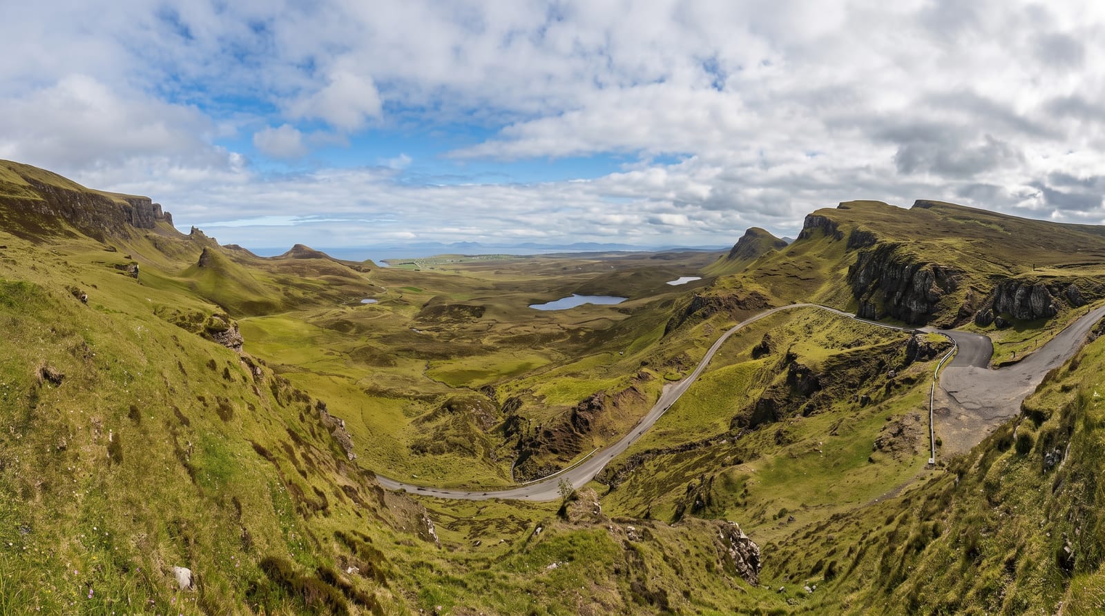
AI illustration
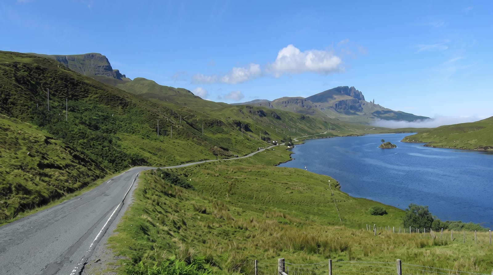
The Quiraing is the northern end of the Trotternish landslip and the only part still actively moving; the single-track road that crosses the pass has to be repaired most years because the ground beneath it creeps downhill. The formations have names: the Needle, a thirty-seven-metre spike of rock; the Table, a flat grassy plateau hidden among the towers and reached by a scramble, where cattle were said to have been hidden from raiders; and the Prison, a rock mass that resembles a fortress from the path. The circular walk from the car park is about seven kilometres round the base of the cliffs and back along the top, with one exposed section on a narrow path across a steep slope. The whole peninsula view from the top takes in Staffin Bay and the mainland.
What you'll find
- The Needle - a thirty-seven-metre rock spike among the towers.
- The Table - a flat hidden plateau reached by a scramble through the rocks.
- The Prison - a rock mass that reads as a fortress from the path.
- The moving road - a pass road repaired yearly because the ground creeps.
When to go
May to September; the walk is exposed and unpleasant in wind and rain, which is frequent. Cloud sits on the ridge often. Early morning avoids both the crowds and the worst of the car park pressure.
Things to know
The circuit includes a narrow traverse across a steep slope where a slip would be serious, and it is not a casual walk. The scramble up to the Table is loose and exposed. Parking is charged, limited and overwhelmed in summer. The road over the pass is single track with heavy traffic.
Nearby
The Old Man of Storr is south along the ridge; Staffin and Uig lie either side.
Key facts
Source: Wikidata, item Q2385621, read on 18 October 2026.
What to pack for Quiraing
Chosen from what this place is for. Tap a kit for the full checklist.
- Broken-in walking shoes or boots - Grip and ankle support matter more than looks; never hike in brand-new boots. Find on Amazon
- Layers + a waterproof shell - Mountain weather turns fast; a packable rain jacket saves the day. Find on Amazon
- Daypack with rain cover - 20-30 litres holds water, snacks, layers and a first-aid kit. Find on Amazon
- Offline maps + a power bank - Download the trail before you lose signal; carry backup charge. Find on Amazon
Some links on this page are Amazon affiliate links - if you buy through them we may earn a small commission at no extra cost to you.
All packing kitsPlan your trip
Where to start if Quiraing is going on the list.
Booking links on this page are affiliate links - if you book through them we may earn a small commission at no extra cost to you. It never changes what we write about a place.
Opening times, ticket prices and seasonal closures change - check the official source before you go: official site.