Luskentyre Beach
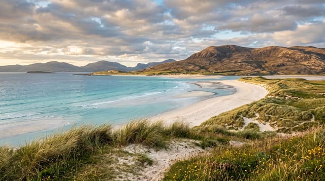
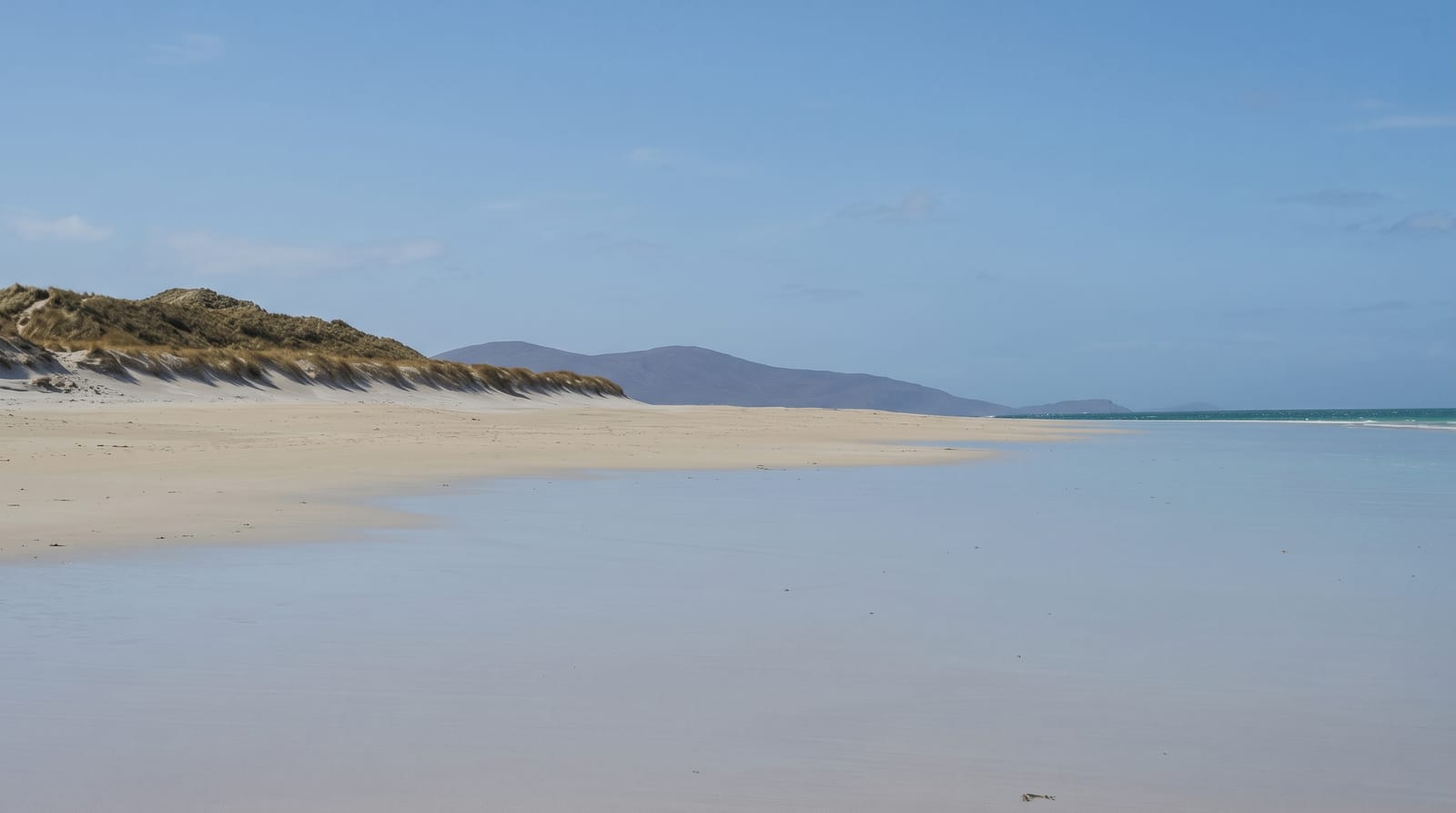
A tidal expanse of white shell sand over turquoise water on the west of Harris, backed by machair and looking out to Taransay.
Updated 4 September 2026
AI illustration
The sand at Luskentyre is white because it is largely crushed shell rather than quartz, and the shallow water over it takes a turquoise colour in sunlight that photographs as tropical and confuses people about the latitude; the water is around twelve degrees at best. The beach is tidal over a wide flat area, so at low water the sand runs out for a considerable distance with the river channel winding through it. Behind the dunes is machair, the shell-sand grassland of the Hebrides, which flowers heavily in June and July with orchids and clover and supports corncrakes and great yellow bumblebees. Taransay, uninhabited since 1974 and used for a television experiment in 2000, lies offshore. The Harris hills rise behind and the light changes constantly.
The landscape
- The shell sand - white beach producing turquoise shallows in sun.
- The tidal flats - a wide expanse with the river channel winding across it.
- The machair - shell-sand grassland flowering behind the dunes in summer.
- Taransay - an uninhabited island offshore across the sound.
When to go
May to September for the machair flowers and the light; June and July are the flowering peak. The beach is empty in most weather and at most times, which is part of the point. Winter storms are dramatic.
Practical notes
The water is genuinely cold and the wind is constant. There are no facilities beyond a small car park and toilets, no cafe and no lifeguard. The single-track access road has passing places and gets congested in summer. Midges are bad in still conditions inland.
Nearby
Seilebost and Horgabost beaches are along the same coast; Tarbert lies north.
Key facts
Source: Wikidata, item Q122986383, read on 18 October 2026.
What to pack for Luskentyre Beach
Chosen from what this place is for. Tap a kit for the full checklist.
- Reef-safe sunscreen - High SPF that will not bleach the coral you are swimming over. Find on Amazon
- Loose, light, long clothing - Covering up beats bare skin in the desert - and locals dress this way for a reason. Find on Amazon
- Quick-dry towel - A microfibre towel packs small and dries in minutes. Find on Amazon
- A wide-brim hat + sunglasses - Shade for your face and eyes where there is none overhead. Find on Amazon
Some links on this page are Amazon affiliate links - if you buy through them we may earn a small commission at no extra cost to you.
All packing kitsPlan your trip
Where to start if Luskentyre Beach is going on the list.
Booking links on this page are affiliate links - if you book through them we may earn a small commission at no extra cost to you. It never changes what we write about a place.
Opening times, ticket prices and seasonal closures change - check the official source before you go: official site.