Casamance
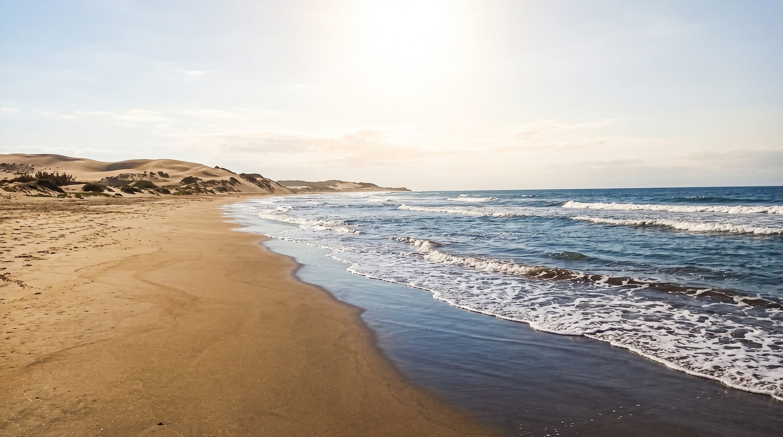
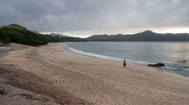
Senegal's lush southern region - palm-backed Atlantic beaches, Diola villages of shaped mud architecture and quiet river creeks.
Updated 22 October 2026

AI illustration
South of the Gambia, Casamance is greener, wetter and slower than the rest of Senegal - a region of rice paddies, palm groves, mangrove creeks and long empty Atlantic beaches at Cap Skirring and Kafountine. The Diola people built distinctive architecture here, including the impluvium houses of Enampor, circular structures designed to collect rainwater in a central basin. Wooden pirogues work the Casamance river, palm wine is tapped in the villages, and the sabar and traditional wrestling culture is strong. Tourism operates on a small, locally run scale through campements villageois, which puts income directly into communities.
History
By local legend the Jola and Bainuk have lived here for over a thousand years, and from the 15th to the 18th century the Bainuk Kasa kingdom was the dominant state of the Lower Casamance; the name probably comes from the Manding Kasa mansa, King of Kasa. A border agreed in 1888 between French Senegal and Portuguese Guinea placed the region in Senegal, and its own Casamance Creole survives (Wikipedia, Casamance).
The landscape
- Cap Skirring beaches - long Atlantic sand backed by palms.
- Enampor impluvium house - the rain-collecting circular Diola architecture.
- River and creek pirogue trips - mangrove channels and island villages.
- Village campements - community-run guesthouses across the region.
When to go
The dry season from November to May is the classic window, with the greenest landscape just after the rains end. The wet season from June to October brings heavy rain, lush rice fields and closed facilities in places. December to February is coolest.
Practical notes
Reaching the region means a flight, an overnight ferry from Dakar or a road trip through the Gambia with two border crossings. Facilities are simple by design.
Nearby
Ziguinchor, the Gambian border to the north and Guinea-Bissau to the south.
Key facts
Source: Wikidata, item Q839607, read on 18 October 2026.
What to pack for Casamance
Chosen from what this place is for. Tap a kit for the full checklist.
- Reef-safe sunscreen - High SPF that will not bleach the coral you are swimming over. Find on Amazon
- Shelter suited to the place - Tent, tarp or hut booking - match it to the terrain and rules. Find on Amazon
- Quick-dry towel - A microfibre towel packs small and dries in minutes. Find on Amazon
- A warm sleeping bag + mat - Rated a little colder than you expect the nights to be. Find on Amazon
Some links on this page are Amazon affiliate links - if you buy through them we may earn a small commission at no extra cost to you.
All packing kitsPlan your trip
Where to start if Casamance is going on the list.
Booking links on this page are affiliate links - if you book through them we may earn a small commission at no extra cost to you. It never changes what we write about a place.
Opening times, ticket prices and seasonal closures change - check the official source before you go: official site.