Caura Valley
A river valley in the Northern Range used as a weekend picnic and river-liming ground.
Updated 21 October 2026
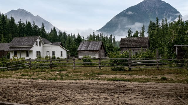
The Caura river runs down a valley in the Northern Range and its pools and gravel bars are one of the standard weekend outings from the east-west corridor: families set up under the trees, cook, play music and spend the day in the water, which is what Trinidadians call a river lime. Trails run further up the valley towards Caura Royal Road and the forest above, and the valley was once slated for a dam that was never built.
What you'll find
- The river pools - shallow pools and gravel bars used for swimming.
- The river lime - the weekend picnic culture along the banks.
- The forest trails - walks up the valley into the Northern Range.
- The abandoned dam - the scheme that was started and never completed.
When to go
January to May is driest and safest for the river. The wet season brings flash flooding and the river rises fast. Weekends and public holidays are extremely busy.
What to expect
The river floods quickly after rain in the hills. Weekend crowds bring loud music and litter. There are few facilities and the road up is narrow.
Nearby
Tacarigua is south, and Maracas Bay is over the ridge.
What to pack for Caura Valley
Chosen from what this place is for. Tap a kit for the full checklist.
- Broken-in walking shoes or boots - Grip and ankle support matter more than looks; never hike in brand-new boots. Find on Amazon
- Reef-safe sunscreen - High SPF that will not bleach the coral you are swimming over. Find on Amazon
- Layers + a waterproof shell - Mountain weather turns fast; a packable rain jacket saves the day. Find on Amazon
- Quick-dry towel - A microfibre towel packs small and dries in minutes. Find on Amazon
Some links on this page are Amazon affiliate links - if you buy through them we may earn a small commission at no extra cost to you.
All packing kitsPlan your trip
Where to start if Caura Valley is going on the list.
Booking links on this page are affiliate links - if you book through them we may earn a small commission at no extra cost to you. It never changes what we write about a place.
Opening times, ticket prices and seasonal closures change - check the official source before you go: official site.