Umphang
A remote Tak district reached by a road of 1,219 recorded bends, holding Thailand's largest waterfall.
Updated 23 October 2026
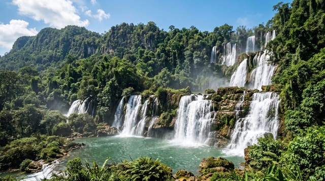
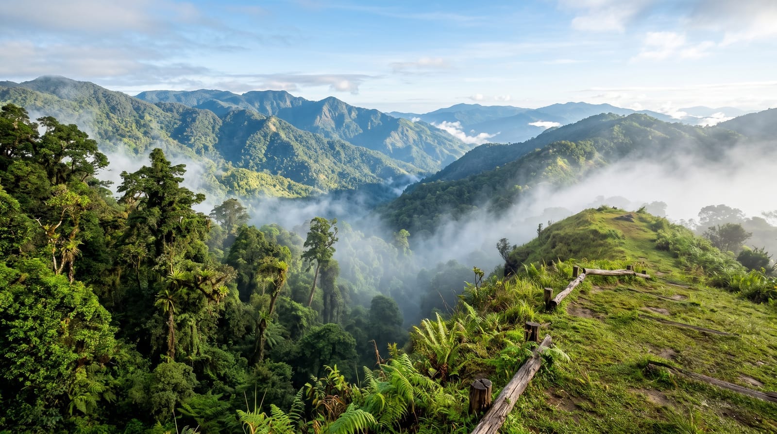
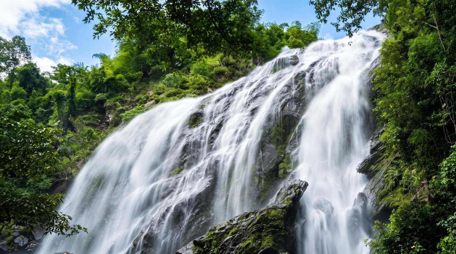
Umphang is one of the most isolated districts in Thailand, tucked against the Myanmar border in southern Tak, and the road in is part of its identity: Highway 1090 from Mae Sot is known as the Sky Road or the road of 1,219 curves, a figure locals count and quote, taking four to five hours to cover about 160 kilometres. What is at the end is Thi Lo Su, the largest waterfall in Thailand - roughly 250 metres high and up to 450 metres wide in full flow, inside Umphang Wildlife Sanctuary, reached by rafting the Mae Klong river and then walking, or by a rough road in the dry season. The district also holds Karen villages, hot springs and further falls. Rafting and trekking are arranged through Umphang operators. Access to Thi Lo Su is restricted and the sanctuary closes the wet route at times; independent visits are not straightforward.
History
Umphang was set up as a district called Mae Klong in 1898, renamed Umphang in 1906, moved to Tak province as a minor district on 1 January 1926, and made a full district again on 6 May 1959. The name is thought to come from the Karen umpa, the opening of a bamboo container (Wikipedia, Umphang district).
What you'll find
- The Sky Road - 1,219 counted bends between Mae Sot and Umphang.
- Thi Lo Su - Thailand's largest waterfall, around 250 metres high.
- The rafting approach - the Mae Klong river route in the wet season.
- The Karen villages - communities in the border hills around the town.
When to go
November to February. Thi Lo Su is fullest at the end of the rains but the wet-season route is by raft; the dry-season road access is rough. Sanctuary access can be restricted - check with operators.
What to expect
Getting there is four to five hours of continuous mountain bends and causes motion sickness in many people. Thi Lo Su access is regulated and sometimes closed. Facilities in Umphang are basic. Independent travel is difficult; most people use local operators.
Nearby
Mae Sot and the Myanmar border are north; Thi Lo Su is the main destination from the town.
Key facts
Source: Wikidata, item Q476973, read on 18 October 2026.
What to pack for Umphang
Chosen from what this place is for. Tap a kit for the full checklist.
- Broken-in walking shoes or boots - Grip and ankle support matter more than looks; never hike in brand-new boots. Find on Amazon
- Quick-dry clothing - Board shorts or synthetics that shrug off spray and dry fast. Find on Amazon
- Binoculars - The single best wildlife tool - even a compact pair transforms a sighting. Find on Amazon
- Swimwear - Needed at most public thermal pools; some traditional baths are nude and single-sex. Find on Amazon
Some links on this page are Amazon affiliate links - if you buy through them we may earn a small commission at no extra cost to you.
All packing kitsPlan your trip
Where to start if Umphang is going on the list.
Booking links on this page are affiliate links - if you book through them we may earn a small commission at no extra cost to you. It never changes what we write about a place.
Opening times, ticket prices and seasonal closures change - check the official source before you go: official site.