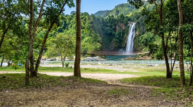
Thi Lo Su Waterfall
Thailand's grandest waterfall - a limestone amphitheatre of cascades deep in Umphang's wilderness, earned by mountain road or raft.
Updated 21 October 2026
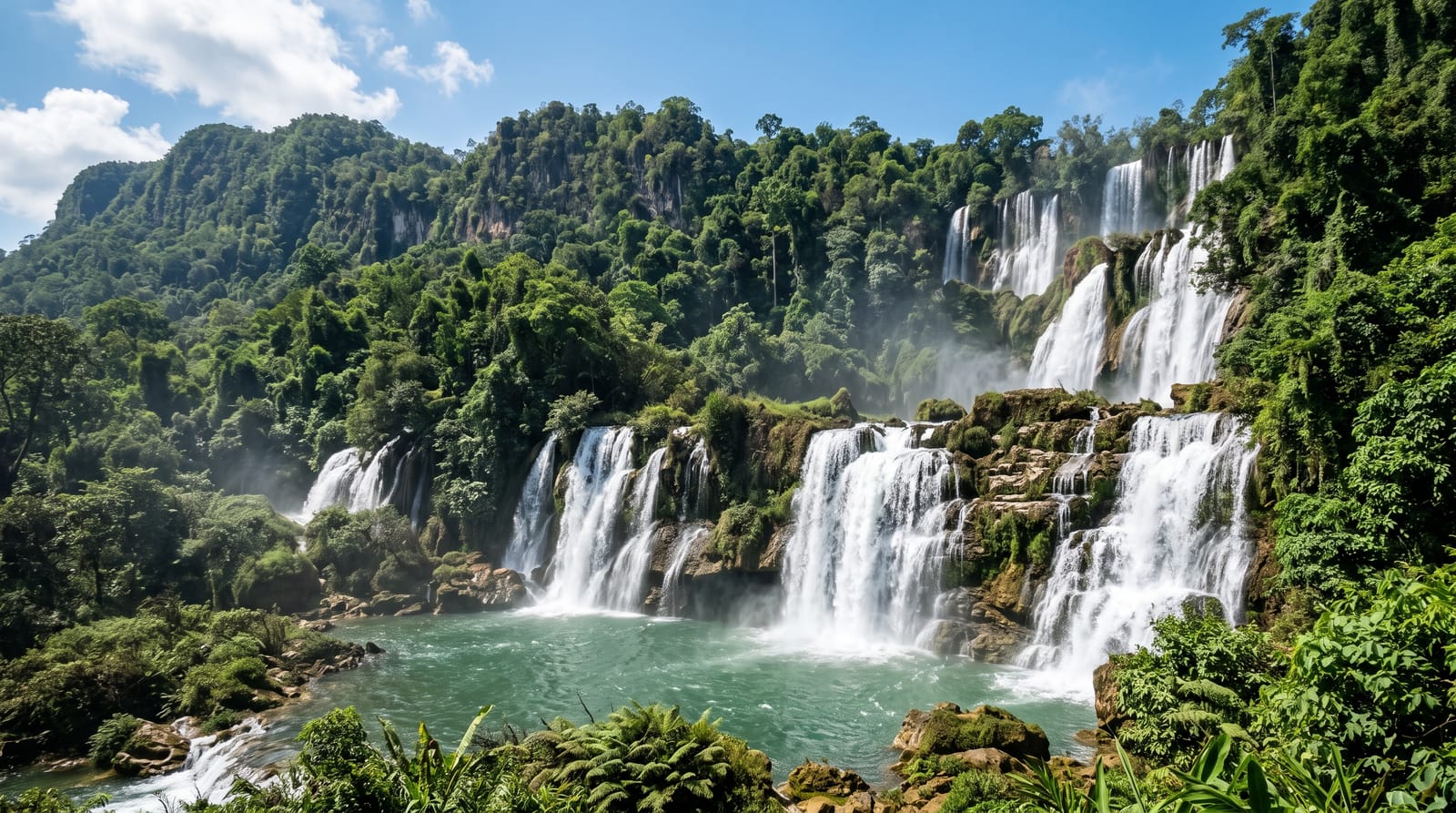
AI illustration
Thi Lo Su - in Karen, the black waterfall - hides Thailand's grandest waterfall in the Umphang Wildlife Sanctuary's deep forest - a limestone amphitheatre roughly 250 metres tall and 450 wide by common estimate (the falls have never been formally surveyed), where the Mae Klong's headwaters split into dozens of streams pouring through jungle-green cliff terraces. Reaching it is half the point: Umphang town sits at the end of one of Thailand's great mountain roads, hundreds of switchback curves from Mae Sot, and from town the sanctuary allows access by local pickup in the dry season or - in the rains - by a rafting-and-trekking approach that earns the thunder properly. The reward is scale no photograph settles: mist columns rising off the cliff face, swimmable lower pools, and a campsite night among gibbon calls. It is the antithesis of the roadside waterfall - remote, regulated and unforgettable.
What's there
- The amphitheatre wall - streams pouring the full width of the cliff.
- The lower pools - swimming beneath the mist columns.
- The rafting approach - the wet-season river route in.
- The sanctuary campsite - a forest night to gibbon song.
When to go
November and December are the sweet spot - the rains' full volume with the road newly open; the dry months ease access as the flow slims. The wet season makes it a rafting expedition, which some call the best version.
Good to know
Everything takes longer than the map suggests - hours of switchbacks to Umphang, then sanctuary transport and a forest walk. Facilities are camp-basic, the published dimensions are estimates, and private cars no longer drive to the campsite. This one is earned.
Nearby
Umphang town, Mae Sot and the Karen villages of the sanctuary's edge.
Key facts
Source: Wikidata, item Q38225, read on 18 October 2026.
What to pack for Thi Lo Su Waterfall
Chosen from what this place is for. Tap a kit for the full checklist.
- Broken-in walking shoes or boots - Grip and ankle support matter more than looks; never hike in brand-new boots. Find on Amazon
- Reef-safe sunscreen - High SPF that will not bleach the coral you are swimming over. Find on Amazon
- Quick-dry clothing - Board shorts or synthetics that shrug off spray and dry fast. Find on Amazon
- Binoculars - The single best wildlife tool - even a compact pair transforms a sighting. Find on Amazon
Some links on this page are Amazon affiliate links - if you buy through them we may earn a small commission at no extra cost to you.
All packing kitsPlan your trip
Where to start if Thi Lo Su Waterfall is going on the list.
Booking links on this page are affiliate links - if you book through them we may earn a small commission at no extra cost to you. It never changes what we write about a place.
Opening times, ticket prices and seasonal closures change - check the official source before you go: official site.