Josephine Falls
A tiered cascade at the foot of Mount Bartle Frere, Queensland's highest mountain, with a natural rock waterslide.
Updated 2 November 2026
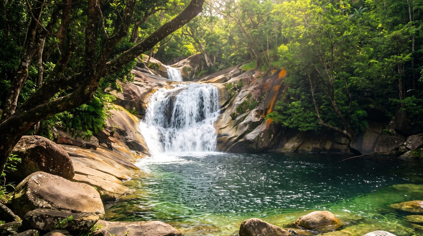
AI illustration
Josephine Falls is a tiered cascade on Josephine Creek, a tributary of the Russell River, at the foot of the southern face of Mount Bartle Frere, at 1,622 metres the highest mountain in Queensland, in Wooroonooran National Park in the Cairns Region of Far North Queensland. The creek comes down from the Atherton Tableland, and at the popular recreation site the water runs over a large rock that forms a natural waterslide. The falls are reached by a sealed road off the Bruce Highway between Babinda and Innisfail, and the car park is also the start of the track up Bartle Frere, 15 km there and back, which normally takes 10 to 12 hours.
Background
The Josephine Falls is a tiered cascade on Josephine Creek in Wooroonooran, in the Cairns Region of Far North Queensland, Australia, below the southern face of Mount Bartle Frere, within Wooroonooran National Park. The creek comes down from the Atherton Tableland, and the falls lie at 192 metres above sea level, beside a popular recreation site where the water flows over a large rock that forms a natural waterslide; Josephine Creek feeds the Russell River. The falls are reached from the Bruce Highway, between Babinda and Innisfail, by a sealed side road.
Source: Wikipedia, "Josephine Falls"
The landscape
- The rock slide - the large rock that forms a natural waterslide.
- The falls - a tiered cascade on Josephine Creek.
- The car park - the start for both the falls and the Bartle Frere track.
- The Bartle Frere trailhead - the start of the climb to Queensland's highest peak.
When to go
May to October. Two hours.
Before you go
The natural rock slide can be dangerous, and flash floods sometimes raise the water suddenly and without warning. The Bartle Frere ascent can be treacherous: walkers have got lost there, some for several days, because of unpredictable weather, poor preparation and at times unclear track markers.
Nearby
Babinda lies to the north and Innisfail to the south along the Bruce Highway, and Mount Bartle Frere stands 51 km south of Cairns.
Key facts
Source: Wikidata, item Q38572, read on 18 October 2026.
What to pack for Josephine Falls
Chosen from what this place is for. Tap a kit for the full checklist.
- Broken-in walking shoes or boots - Grip and ankle support matter more than looks; never hike in brand-new boots. Find on Amazon
- Layers + a waterproof shell - Mountain weather turns fast; a packable rain jacket saves the day. Find on Amazon
- Daypack with rain cover - 20-30 litres holds water, snacks, layers and a first-aid kit. Find on Amazon
- Offline maps + a power bank - Download the trail before you lose signal; carry backup charge. Find on Amazon
Some links on this page are Amazon affiliate links - if you buy through them we may earn a small commission at no extra cost to you.
All packing kitsPlan your trip
Where to start if Josephine Falls is going on the list.
Booking links on this page are affiliate links - if you book through them we may earn a small commission at no extra cost to you. It never changes what we write about a place.
Opening times, ticket prices and seasonal closures change - check the official source before you go: official site.