Phu Hin Rong Kla National Park
A field of knobbled sandstone high in the Phetchabun mountains that was the headquarters of the Communist Party of Thailand for fourteen years.
Updated 12 October 2026
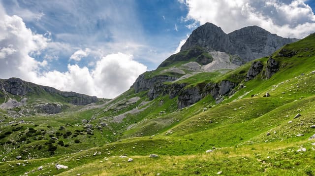
Phu Hin Rong Kla sits on the Phitsanulok and Loei border at up to about 1,820 metres, and its landscape is distinctive: Lan Hin Pum, a broad expanse of sandstone weathered into thousands of knobs and pits, and Lan Hin Taek, a plateau of the same rock split into deep crevices, with pine forest and cliff viewpoints around them. The other half of the park is historical. From 1968 to 1982 this was the main base of the Communist Party of Thailand and its armed wing - the terrain, the crevices and the remoteness made it defensible against repeated military assaults - and a field hospital, a political school, a rice mill and other structures survive and are open, with a museum. The insurgency ended under an amnesty in the early 1980s and the park was declared in 1984. Nights are cold and the road up is steep with tight bends.
What's there
- Lan Hin Pum - the field of knobbled sandstone, weathered over ages.
- Lan Hin Taek - the plateau split into deep crevices.
- The insurgency sites - field hospital, school and mill from 1968 to 1982.
- The cliff viewpoints - over the forest and valleys below.
When to go
November to February for cool clear weather; nights on the plateau are cold. The road is steep and unpleasant in heavy rain. Accommodation at the park needs booking.
Good to know
Steep mountain access road. Cold at night. The historical sites are presented from the state's perspective and interpretation in English is limited. Facilities are basic and book out at cool-season weekends.
Nearby
Nam Nao is south-east; Phu Lom Lo, on the same range, is east.
Key facts
Source: Wikidata, item Q840904, read on 18 October 2026.
What to pack for Phu Hin Rong Kla National Park
Chosen from what this place is for. Tap a kit for the full checklist.
- Broken-in walking shoes or boots - Grip and ankle support matter more than looks; never hike in brand-new boots. Find on Amazon
- Binoculars - The single best wildlife tool - even a compact pair transforms a sighting. Find on Amazon
- Layers + a waterproof shell - Mountain weather turns fast; a packable rain jacket saves the day. Find on Amazon
- A zoom camera or long lens - Animals rarely come close; reach beats megapixels. Find on Amazon
Some links on this page are Amazon affiliate links - if you buy through them we may earn a small commission at no extra cost to you.
All packing kitsPlan your trip
Where to start if Phu Hin Rong Kla National Park is going on the list.
Booking links on this page are affiliate links - if you book through them we may earn a small commission at no extra cost to you. It never changes what we write about a place.
Opening times, ticket prices and seasonal closures change - check the official source before you go: official site.