Pha Taem National Park
Cliffs above the Mekong in eastern Isan with prehistoric rock paintings, eroded stone pillars and the country's earliest sunrise.
Updated 4 September 2026
AI illustration
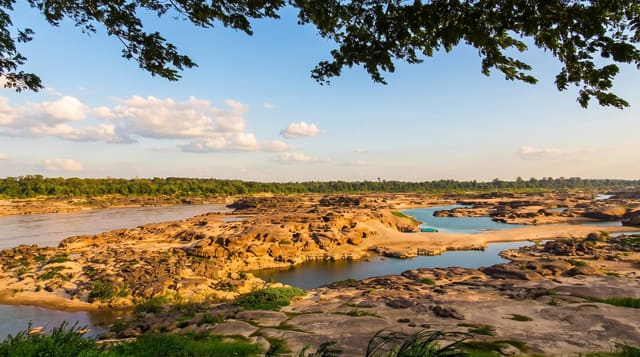
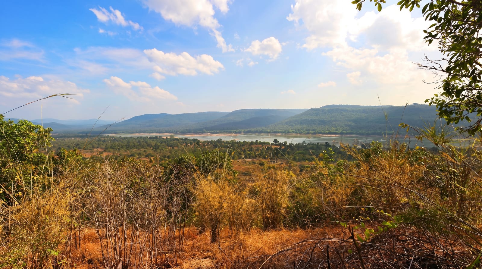
Pha Taem occupies the eastern edge of Ubon Ratchathani, where a sandstone escarpment drops away to the Mekong. A stepped path runs along the base of the cliff past panels of red ochre paintings: fish traps, catfish, hands, cattle and rows of geometric marks, made by people who lived along this river thousands of years ago. Above, the plateau is a strange landscape of eroded pillars at Sao Chaliang and thin soil that produces fields of small wildflowers once the rains stop. Saeng Chan waterfall drops through a hole worn in a rock shelf, and Soi Sawan falls into a gorge nearby. Being the country's far east, the sunrise here arrives before anywhere else in Thailand.
What's there
- The painted cliff panels - ochre fish, hands and cattle along the base path.
- Sao Chaliang - mushroom-shaped rock pillars on the plateau above.
- Saeng Chan waterfall - water dropping through a hole worn in a rock shelf.
- The escarpment edge - the long view over the river, best at first light.
When to go
November to February is cool and clear, and it overlaps with the plateau flower fields, which are at their best from roughly October into December. Saeng Chan only performs during and just after the rains. Sunrise is the point of the main viewpoint, which means leaving Khong Chiam in the dark; the gate opens early for exactly that reason.
Things to know
The park is spread out and the sites sit far apart, so without a car you will see very little of it. The cliff path has long exposed stretches with no shade at all. The rock art is faded and takes patience to pick out, especially in flat midday light. Facilities are minimal, English signage is thin, and the waterfalls run dry outside the rainy months.
Nearby
Khong Chiam where two rivers meet, and Ubon Ratchathani city to the west.
Key facts
Source: Wikidata, item Q1968973, read on 18 October 2026.
What to pack for Pha Taem National Park
Chosen from what this place is for. Tap a kit for the full checklist.
- Broken-in walking shoes or boots - Grip and ankle support matter more than looks; never hike in brand-new boots. Find on Amazon
- Binoculars - The single best wildlife tool - even a compact pair transforms a sighting. Find on Amazon
- Layers + a waterproof shell - Mountain weather turns fast; a packable rain jacket saves the day. Find on Amazon
- A zoom camera or long lens - Animals rarely come close; reach beats megapixels. Find on Amazon
Some links on this page are Amazon affiliate links - if you buy through them we may earn a small commission at no extra cost to you.
All packing kitsPlan your trip
Where to start if Pha Taem National Park is going on the list.
Booking links on this page are affiliate links - if you book through them we may earn a small commission at no extra cost to you. It never changes what we write about a place.
Opening times, ticket prices and seasonal closures change - check the official source before you go: official site.