Doi Chiang Dao
Thailand's third-highest peak, a limestone massif north of Chiang Mai climbed only in season, with permits, guides and a daily quota.
Updated 4 September 2026
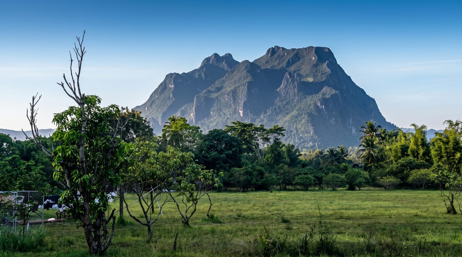
AI illustration
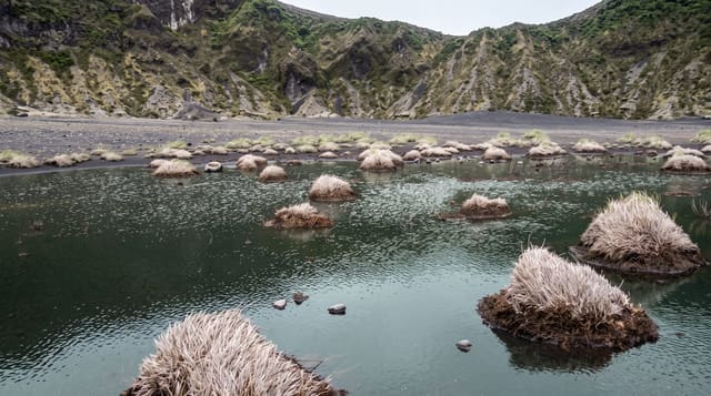
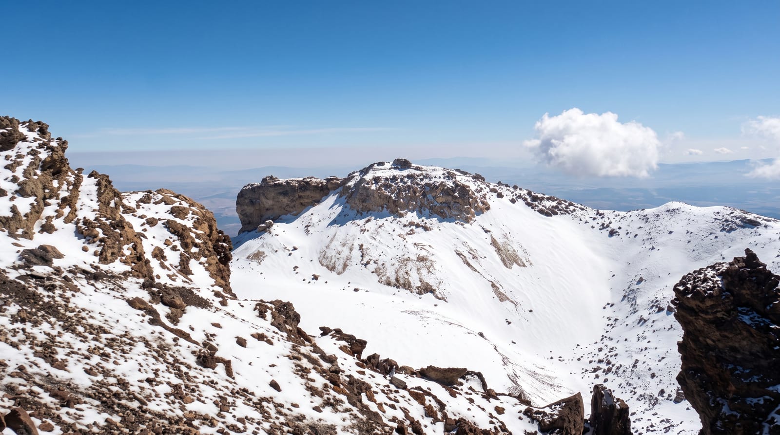
Doi Luang Chiang Dao rises to roughly 2,175 metres, a limestone block standing clear of the ridges around it and holding plants found almost nowhere else in the country, subalpine grassland and stunted shrubs that belong much further north. The summit route is tightly controlled: a short season, a daily cap on climbers, a licensed guide and porters carrying the camp. Most parties walk up in a day, sleep high and cold on a saddle, and take the summit at sunrise, when the ridges below fill with cloud. At the base sit Tham Chiang Dao, a long show cave under the massif, and a quiet valley of small guesthouses along the river. The mountain was designated a biosphere reserve in 2021.
What you'll find
- The summit ridge - open grassland and limestone above the cloud line at dawn.
- The high camp - tents on a saddle, genuinely cold on January nights.
- Tham Chiang Dao - the lantern-lit river cave at the foot of the mountain.
- Highland endemics - plant species that grow nowhere else in Thailand.
When to go
The climbing season is short, running roughly November to February, and permits are released in advance and taken quickly. Outside that window the route is closed outright. Cloud seas are most likely in December and January, which is also when nights on the saddle are coldest. Everything is arranged through licensed guides in Chiang Dao rather than online.
Before you go
This is not a walk-up. The trail is steep, sun-exposed on the upper section and long enough to hurt on the way down. Permits sell out, and no permit means no mountain. Costs cover guide, porters, food and park fees, which surprises people expecting a cheap hike. The show cave at the base is heavily commercialised by comparison with the summit.
Nearby
Chiang Dao town and cave, the Mae Ping valley and the road north to Fang.
Key facts
Source: Wikidata, item Q5288588, read on 18 October 2026.
What to pack for Doi Chiang Dao
Chosen from what this place is for. Tap a kit for the full checklist.
- Broken-in walking shoes or boots - Grip and ankle support matter more than looks; never hike in brand-new boots. Find on Amazon
- Head torch + spare batteries - Hands-free light is essential; caves are truly dark. Find on Amazon
- Layers for big temperature swings - Warm sun by day, near-freezing at night, even near the equator. Find on Amazon
- Layers + a waterproof shell - Mountain weather turns fast; a packable rain jacket saves the day. Find on Amazon
Some links on this page are Amazon affiliate links - if you buy through them we may earn a small commission at no extra cost to you.
All packing kitsPlan your trip
Where to start if Doi Chiang Dao is going on the list.
Booking links on this page are affiliate links - if you book through them we may earn a small commission at no extra cost to you. It never changes what we write about a place.
Opening times, ticket prices and seasonal closures change - check the official source before you go: official site.