Huai Nam Dang National Park
A viewpoint at about 1,700 metres on the Chiang Mai to Pai road where the valleys fill with cloud before dawn.
Updated 28 August 2026
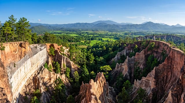
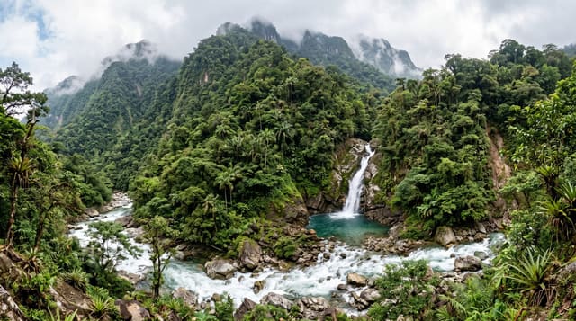
Huai Nam Dang straddles the Chiang Mai and Mae Hong Son border along the 1095, the road to Pai, and the reason it is on every northern itinerary is Doi Kiew Lom - a viewpoint at roughly 1,700 metres facing east, where on cool-season mornings a sea of cloud fills the valleys below with Doi Chiang Dao standing out of it and the sun coming up behind. People arrive in the dark to be there for it, and it is genuinely crowded at dawn in December and January despite the hour and the cold. Camping and simple bungalows are available at the viewpoint. The rest of the park has hot springs at Pong Duead, pine forest, waterfalls and rafting on the Pai river. The mist is entirely weather-dependent - a warm or windy morning produces nothing - and the 1095 itself, with its 762 counted curves, is a hard drive that makes many passengers ill.
What's there
- Doi Kiew Lom - the dawn viewpoint at about 1,700 metres over cloud-filled valleys.
- Doi Chiang Dao - the limestone massif rising out of the mist to the east.
- Pong Duead hot springs - geothermal vents elsewhere in the park.
- The 1095 - the Pai road, 762 counted curves.
When to go
November to February, arriving before dawn - the mist forms on cold clear mornings and burns off within an hour or two of sunrise. Warm or windy mornings produce nothing.
Practical notes
The mist is not guaranteed and a warm morning wastes the early start. Very cold before dawn at the viewpoint. Crowded in peak season despite the hour. The road to Pai causes motion sickness in many people.
Nearby
Pai is north-west; Chiang Dao and Chiang Mai are south-east.
Key facts
Source: Wikidata, item Q1476495, read on 18 October 2026.
What to pack for Huai Nam Dang National Park
Chosen from what this place is for. Tap a kit for the full checklist.
- Broken-in walking shoes or boots - Grip and ankle support matter more than looks; never hike in brand-new boots. Find on Amazon
- Quick-dry clothing - Board shorts or synthetics that shrug off spray and dry fast. Find on Amazon
- Binoculars - The single best wildlife tool - even a compact pair transforms a sighting. Find on Amazon
- Shelter suited to the place - Tent, tarp or hut booking - match it to the terrain and rules. Find on Amazon
Some links on this page are Amazon affiliate links - if you buy through them we may earn a small commission at no extra cost to you.
All packing kitsPlan your trip
Where to start if Huai Nam Dang National Park is going on the list.
Booking links on this page are affiliate links - if you book through them we may earn a small commission at no extra cost to you. It never changes what we write about a place.
Opening times, ticket prices and seasonal closures change - check the official source before you go: official site.