Laxapana Falls
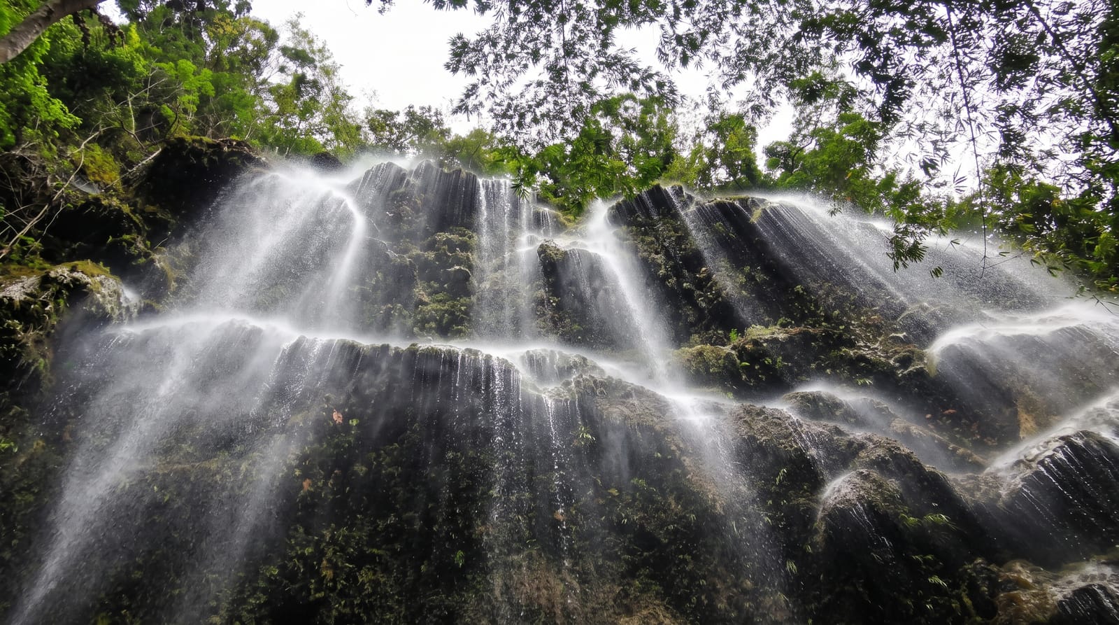
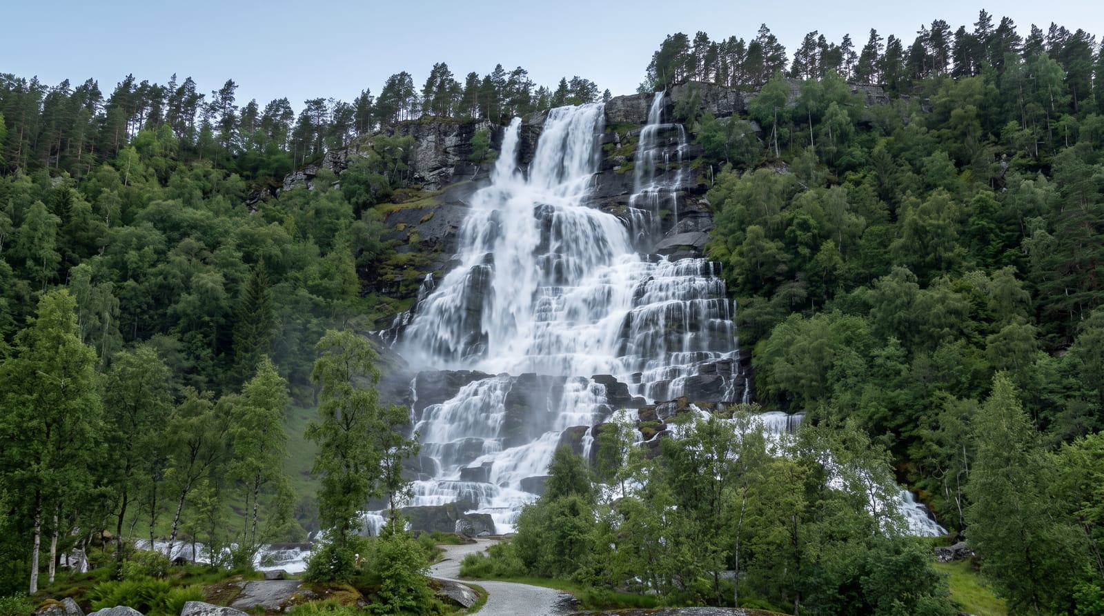
A 126-metre fall in the Maskeliya hills feeding one of Sri Lanka's oldest hydroelectric schemes.
Updated 16 October 2026
Laxapana drops about a hundred and twenty-six metres on the Maskeliya Oya below the Adam's Peak range, and it has been part of the country's power system since the 1950s, when the first major hydroelectric station in Sri Lanka was built to use it. Water is diverted for generation, so the flow over the fall depends on what the scheme is releasing as much as on rainfall. Steps run down from the road to a viewing point.
Background
Laxapana is 126 m (413 ft) tall, placing it 8th among the waterfalls of Sri Lanka and 625th worldwide, and it falls in a single drop 23 metres wide. It is in Kiriwan Eliya, a village of Nuwara Eliya District on the Maskeliya-Norton Bridge road, about 16 km (10 mi) out of Maskeliya town. The Maskeliya Oya forms the fall close to where it meets the Kehelgamu Oya, the two streams together creating the Kelani River. Two hydroelectric stations carry its name, Old Laxapana at 50 MW and New Laxapana at 100 MW. In Sinhala, Laxa means hundred thousand, while Pahana or Pashana means rock.
Source: Wikipedia, "Laxapana Falls"
What's there
- The fall - about 126 metres down a rock face in the Maskeliya hills.
- The hydro scheme - the 1950s power station the water feeds.
- The tea country - estates covering the slopes on the approach.
- The viewing steps - a stepped path down from the road to the base view.
When to go
April to June and October to December, after the monsoons, give the strongest flow. The hydro diversion reduces it in dry periods regardless of rain. Mornings are clearest.
Things to know
The flow is controlled by the power station and can be weak even after rain. The steps down are steep and slippery. There are no facilities.
Nearby
Adam's Peak is south, and Hatton is east.
Key facts
Source: Wikidata, item Q6505129, read on 18 October 2026.
What to pack for Laxapana Falls
Chosen from what this place is for. Tap a kit for the full checklist.
- Broken-in walking shoes or boots - Grip and ankle support matter more than looks; never hike in brand-new boots. Find on Amazon
- Strong insect repellent - DEET or picaridin; the jungle is where bites and disease risk are highest. Find on Amazon
- Layers + a waterproof shell - Mountain weather turns fast; a packable rain jacket saves the day. Find on Amazon
- Long, light, quick-dry clothing - Covers skin from insects and sun without cooking you in the humidity. Find on Amazon
Some links on this page are Amazon affiliate links - if you buy through them we may earn a small commission at no extra cost to you.
All packing kitsPlan your trip
Where to start if Laxapana Falls is going on the list.
Booking links on this page are affiliate links - if you book through them we may earn a small commission at no extra cost to you. It never changes what we write about a place.
Opening times, ticket prices and seasonal closures change - check the official source before you go: official site.