Los Tilos
A dripping laurel rainforest in a La Palma ravine, watered by cloud caught on the ridge and threaded with old water channels.
Updated 4 September 2026
AI illustration
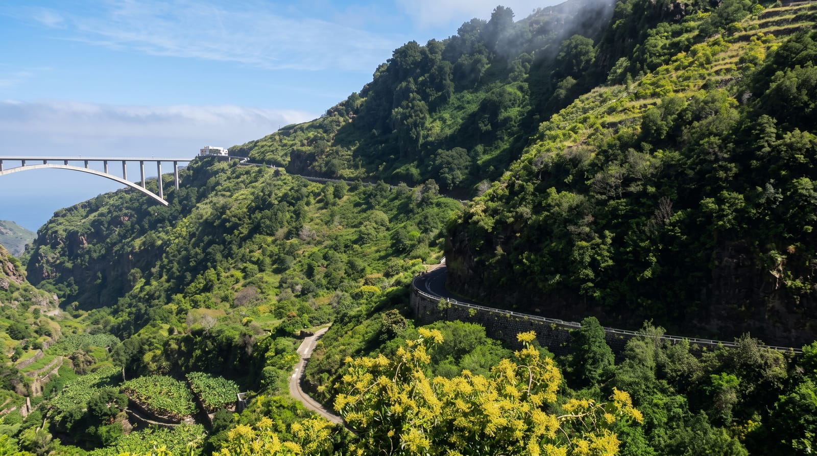
Los Tilos fills a ravine on the wet northeastern side of La Palma with laurisilva, the laurel forest that once covered much of the Mediterranean basin and survives only on the Macaronesian islands, and here it is dense: tree heather, Canary laurel, viñatigo and til under near-constant cloud caught by the ridge above, with ferns and mosses on every surface. It was the core of La Palma's biosphere reserve designation in 1983, later extended to the whole island. Walking routes follow the galerias and canales, water channels cut into the rock to collect and carry the condensation the forest produces, some of them through tunnels requiring a torch. A waterfall at the head of the ravine is the usual destination.
The landscape
- The laurel forest - dense relict woodland under permanent cloud.
- The water channels - cut canals and tunnels carrying collected condensation.
- The waterfall - a fall at the head of the ravine, the standard walk.
- The tunnel routes - sections requiring a torch through the rock.
When to go
Year-round; the forest depends on cloud, so grey damp conditions are normal and the point. Winter and spring are greenest. Access can be restricted in busy periods with a shuttle from below.
Things to know
The forest is wet and paths are muddy and slippery in every season. Tunnel routes need a torch and can flood. Cloud limits views. Parking is limited and the road up the ravine is narrow.
Nearby
San Andres and the Charco Azul pools lie on the coast below; Santa Cruz de La Palma is south.
What to pack for Los Tilos
Chosen from what this place is for. Tap a kit for the full checklist.
- Broken-in walking shoes or boots - Grip and ankle support matter more than looks; never hike in brand-new boots. Find on Amazon
- Strong insect repellent - DEET or picaridin; the jungle is where bites and disease risk are highest. Find on Amazon
- Layers + a waterproof shell - Mountain weather turns fast; a packable rain jacket saves the day. Find on Amazon
- Long, light, quick-dry clothing - Covers skin from insects and sun without cooking you in the humidity. Find on Amazon
Some links on this page are Amazon affiliate links - if you buy through them we may earn a small commission at no extra cost to you.
All packing kitsPlan your trip
Where to start if Los Tilos is going on the list.
Booking links on this page are affiliate links - if you book through them we may earn a small commission at no extra cost to you. It never changes what we write about a place.
Opening times, ticket prices and seasonal closures change - check the official source before you go: official site.