La Graciosa
The eighth Canary island, with sand streets instead of roads, seven hundred residents and no asphalt anywhere.
Updated 21 October 2026
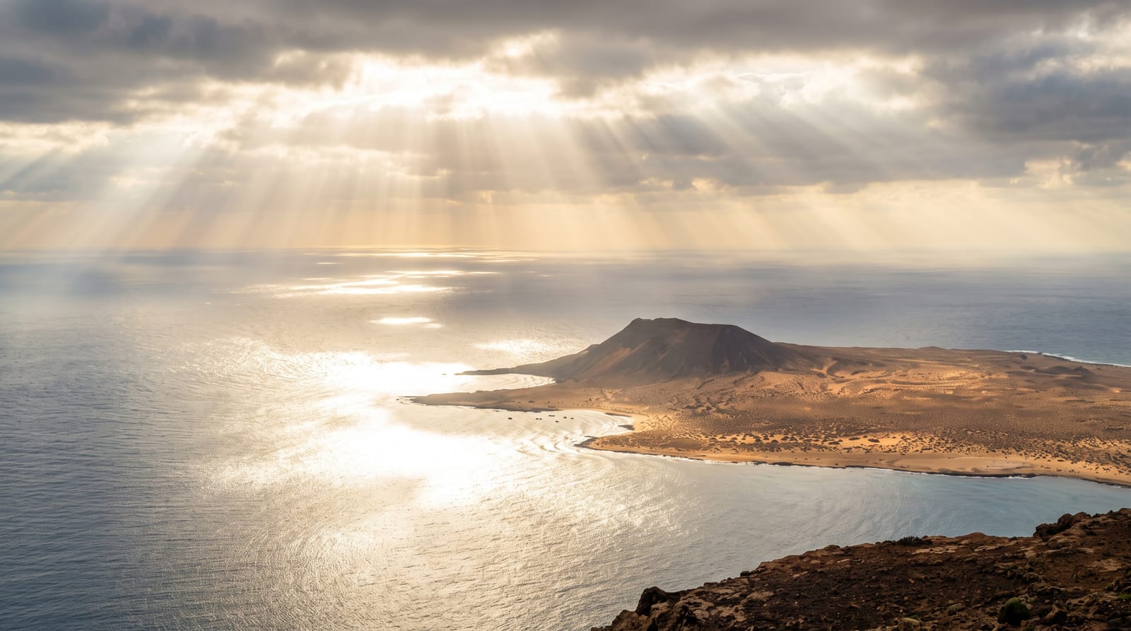
AI illustration
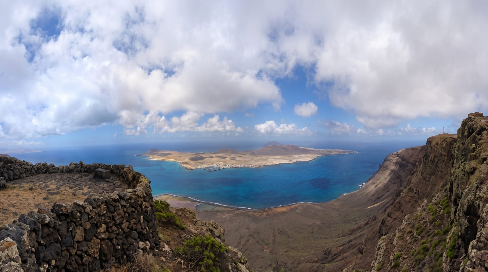
La Graciosa lies across a strait from northern Lanzarote and was officially recognised as the eighth inhabited Canary island in 2018, having previously been counted as part of Lanzarote. Around seven hundred people live there, in Caleta de Sebo and the smaller Pedro Barba, and there are no surfaced roads at all: the streets are sand, private cars are not permitted, and movement is on foot, by bicycle or in the licensed four-wheel-drive taxis that run to the beaches. The island is flat and volcanic, about eight kilometres by four and twenty-nine square kilometres in all, with no natural springs, with beaches including Las Conchas on the exposed north and Playa Francesa in the shelter. It is part of the Chinijo Archipelago natural park, and the waters around it form a marine reserve.
What's there
- The sand streets - a village with no asphalt and no private cars.
- Las Conchas - an exposed northern beach below the Montana Bermeja.
- Playa Francesa - sheltered water on the side facing Lanzarote.
- The marine reserve - the Chinijo archipelago protected around the island.
When to go
Year-round; the Canaries are mild in all seasons and the island is dry. Ferries run frequently and are cancelled in swell. Summer brings day-trippers from Lanzarote in numbers the island struggles with.
Practical notes
Bringing a car is not possible and taxis are limited and expensive. Accommodation is very restricted and books far ahead. Las Conchas has strong currents; it is not safe for swimming. There is one small supermarket.
Nearby
Orzola and the Mirador del Rio are on Lanzarote; the Chinijo islets lie west.
Key facts
Source: Wikidata, item Q849958, read on 18 October 2026.
What to pack for La Graciosa
Chosen from what this place is for. Tap a kit for the full checklist.
- Reef-safe sunscreen - High SPF that will not bleach the coral you are swimming over. Find on Amazon
- Padded shorts - The one thing that makes a full day in the saddle bearable. Find on Amazon
- Quick-dry towel - A microfibre towel packs small and dries in minutes. Find on Amazon
- Helmet - Bring your own if you have a good one; rentals vary wildly. Find on Amazon
Some links on this page are Amazon affiliate links - if you buy through them we may earn a small commission at no extra cost to you.
All packing kitsPlan your trip
Where to start if La Graciosa is going on the list.
Booking links on this page are affiliate links - if you book through them we may earn a small commission at no extra cost to you. It never changes what we write about a place.
Opening times, ticket prices and seasonal closures change - check the official source before you go: official site.