Garajonay National Park
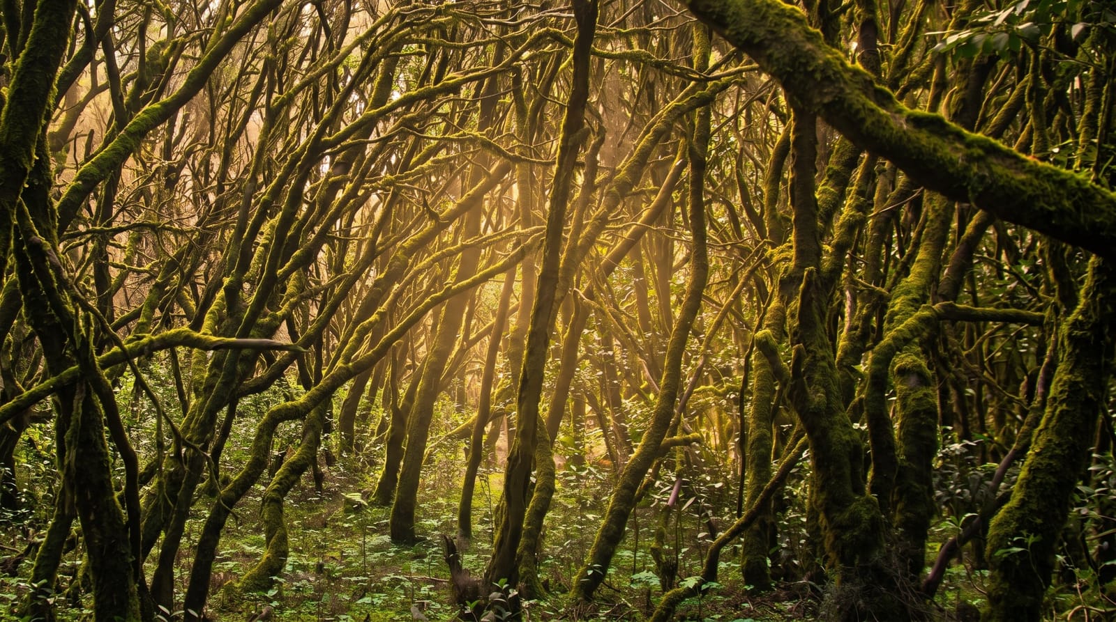
A permanently damp laurel forest on La Gomera, a survival of woodland that once covered southern Europe, fed by cloud rather than rain.
Updated 12 October 2026
AI illustration
UNESCO World Heritage
Garajonay covers the high centre of La Gomera with laurisilva, a laurel forest of a type that grew across the Mediterranean basin before the Ice Ages and now survives on a handful of Atlantic islands. The trees are twisted, moss-covered and permanently wet, kept that way by trade winds pushing cloud against the ridge, where it condenses on the leaves and drips to the ground. Sunlight barely reaches the floor. Walking trails run through the forest from roadside car parks, most of them short, and the Alto de Garajonay at the summit looks out over the cloud toward Teide on Tenerife when it clears.
What you'll find
- The laurisilva - dense, moss-hung laurel forest kept wet by cloud.
- Alto de Garajonay - the island's summit, above the cloud layer on clear days.
- The horizontal rain - condensation dripping from leaves in the trade wind cloud.
- Los Roques - volcanic plugs standing above the forest on the southern edge.
When to go
The forest is green all year, but October to May is when the cloud sits most reliably on the ridge and the woodland looks the way it should. Summer is drier and busier with day trippers off the Tenerife ferry. Go early: the first boat gets you up to the ridge ahead of the tour coaches.
Good to know
It rains, drips or fogs on most days up on the ridge, which is the point but still wet; take waterproofs and expect no summit view on many visits. The island roads are steep and slow, so a hire car takes far longer than the distances suggest. Day trips from Tenerife leave very little actual walking time.
Nearby
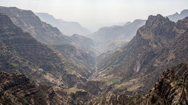
Valle Gran Rey and the terraced ravines on the west coast.
Key facts
Source: Wikidata, item Q464942, read on 18 October 2026.
What to pack for Garajonay National Park
Chosen from what this place is for. Tap a kit for the full checklist.
- Broken-in walking shoes or boots - Grip and ankle support matter more than looks; never hike in brand-new boots. Find on Amazon
- Layers + a waterproof shell - Mountain weather turns fast; a packable rain jacket saves the day. Find on Amazon
- Daypack with rain cover - 20-30 litres holds water, snacks, layers and a first-aid kit. Find on Amazon
- Offline maps + a power bank - Download the trail before you lose signal; carry backup charge. Find on Amazon
Some links on this page are Amazon affiliate links - if you buy through them we may earn a small commission at no extra cost to you.
All packing kitsPlan your trip
Where to start if Garajonay National Park is going on the list.
Booking links on this page are affiliate links - if you book through them we may earn a small commission at no extra cost to you. It never changes what we write about a place.
Opening times, ticket prices and seasonal closures change - check the official source before you go: official site.