El Torcal de Antequera
A limestone plateau north of Malaga eroded into stacked slabs and pinnacles, walked on three waymarked circuits from a high car park.
Updated 19 October 2026
AI illustration
UNESCO World Heritage
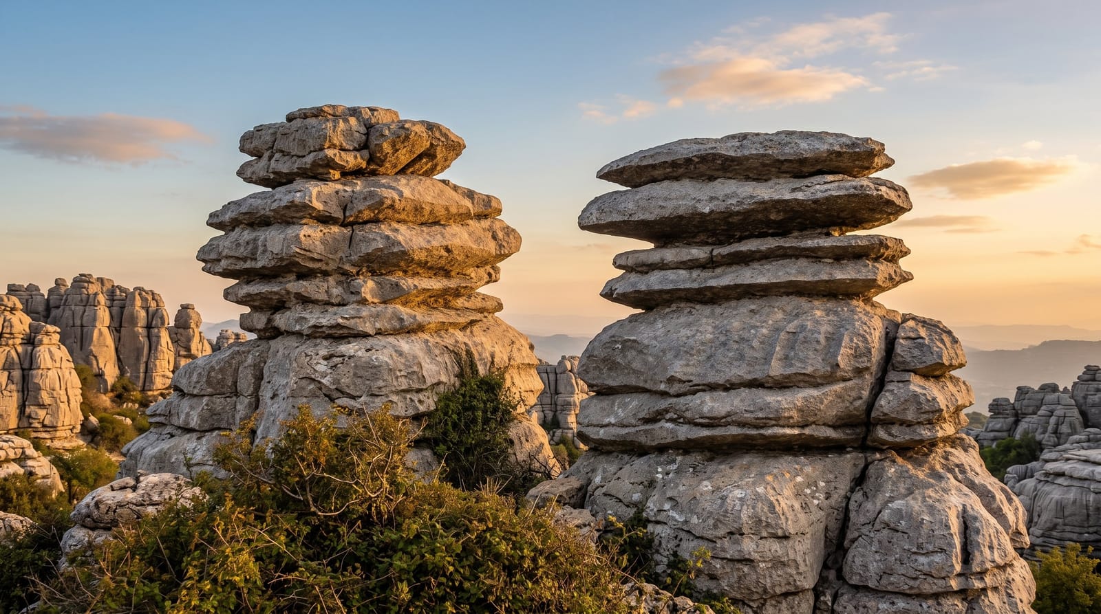
El Torcal is a block of Jurassic limestone lifted and then dissolved by rain into something that reads as ruined architecture: beds stacked like plates, isolated towers, sinkholes and corridors of bare rock. Three waymarked routes leave the upper car park, colour coded green, yellow and orange, running from a half hour loop to a couple of hours. The rock is sharp, the ground uneven, and the paths are marked with painted dots rather than signposts, so wandering off route is easy. Griffon vultures use the updraft along the escarpment and Spanish ibex are common at first light. The Mirador Las Ventanillas looks north over the plain toward Antequera.
What you'll find
- The stacked limestone - beds of rock weathered into plates and towers.
- The three colour routes - green, yellow and orange loops from the upper car park.
- Mirador Las Ventanillas - the north-facing viewpoint over the plain.
- Griffon vultures - riding the updraft along the escarpment edge.
When to go
Spring and autumn are best: there is no shade at all on the rock and summer midday is punishing. Early morning gives the best chance of ibex and the softest light on the stone. The upper car park fills at weekends and holidays, when a shuttle runs from below. Fog closes in quickly and hides the painted waymarks.
Things to know
Parking at the top is limited and often full by mid-morning at weekends. The paths are rough, ankle-turning limestone with no shade and no water on route. Fog is common and genuinely disorienting once the markers disappear. The visitor centre is small and the interpretation thin for the scale of the site.
Nearby
Antequera sits below to the north; the El Chorro gorge is to the west.
Key facts
Source: Wikidata, item Q1013353, read on 18 October 2026.
What to pack for El Torcal de Antequera
Chosen from what this place is for. Tap a kit for the full checklist.
- Broken-in walking shoes or boots - Grip and ankle support matter more than looks; never hike in brand-new boots. Find on Amazon
- Layers + a waterproof shell - Mountain weather turns fast; a packable rain jacket saves the day. Find on Amazon
- Daypack with rain cover - 20-30 litres holds water, snacks, layers and a first-aid kit. Find on Amazon
- Offline maps + a power bank - Download the trail before you lose signal; carry backup charge. Find on Amazon
Some links on this page are Amazon affiliate links - if you buy through them we may earn a small commission at no extra cost to you.
All packing kitsPlan your trip
Where to start if El Torcal de Antequera is going on the list.
Booking links on this page are affiliate links - if you book through them we may earn a small commission at no extra cost to you. It never changes what we write about a place.
Opening times, ticket prices and seasonal closures change - check the official source before you go: official site.