The Pacuare River
One of the world's great whitewater rivers, running through a rainforest gorge on the Caribbean slope with rapids for two days.
Updated 21 October 2026
AI illustration
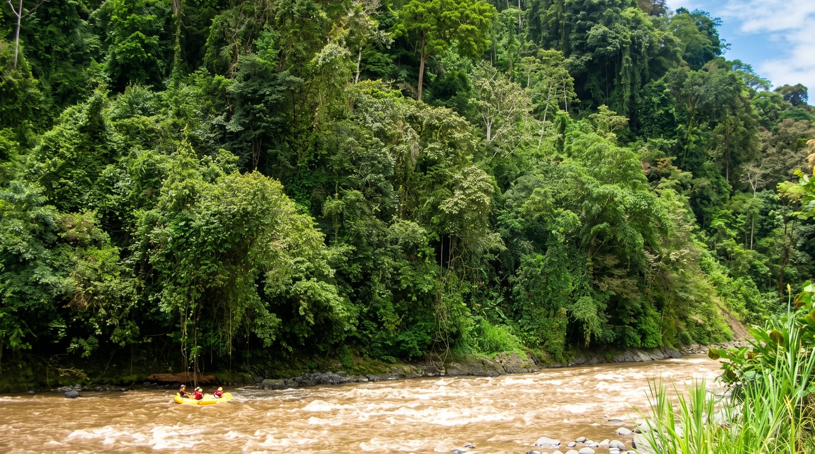
The Pacuare runs off the Talamanca range down the Caribbean slope through a gorge of primary rainforest, and it is consistently ranked among the best whitewater rivers in the world: around thirty kilometres of class three and four rapids with names the guides recite like liturgy, walls of forest on both sides, waterfalls dropping straight into the river, and no road access for most of its length. Day trips run the lower section; two-day trips stop at riverside lodges reachable only by water. A hydroelectric dam proposed on it in 1986 was finally rejected in 2005 over its effects on the river and on tourism.
History
The first known descent of the Pacuare was made by a group of Polish kayakers travelling the length of Central America in the winter of 1980/81. The first rafting expedition followed in February 1981: Nick Hershenow, Sharon Hester, Jerry Kaufman and Rudy Koller took five days with a 3.7-metre raft and a kayak, splitting the river into upper and lower sections and flagging down a narrow-gauge train back to San José at the end. Michael Kaye's Costa Rica Expeditions, founded in 1978, began commercial trips on the river in the winter of 1981/82; Rafael Gallo, who had worked for Kaye, started Ríos Tropicales with four rafts, Aventuras Naturales followed in the mid-1980s and Tico's River Adventures opened in Turrialba in 1986. In the same year the state electricity company first suggested damming the Pacuare; the plan was finally rejected in 2005 over its effects on the river and on tourism, while the damming of the neighbouring Reventazón in 1998 had already pushed the rafting companies onto the Pacuare (Wikipedia, Pacuare River).
The landscape
- The rapids - around thirty kilometres of class three and four water.
- The gorge - primary rainforest walls with no road access.
- Riverside waterfalls - dropping directly into the river.
- The lodges - reachable only by raft, on the two-day trips.
When to go
The river runs year-round. Water is highest from June to October, which means bigger rapids and browner water; December to April is lower, clearer and better for wildlife. Trips leave early in the morning from Turrialba or San José.
Things to know
This is class three to four whitewater and people are thrown from rafts routinely; you need to be a competent swimmer and reasonably fit. Operators vary in standards and the cheapest are not the ones to pick. In very high water trips are cancelled or moved to easier sections. Day trips from San José involve a great deal of driving for the time on the water.
Nearby
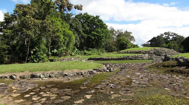
Turrialba is the base; the Guayabo monument is half an hour away.
Key facts
Source: Wikidata, item Q3377609, read on 18 October 2026.
What to pack for The Pacuare River
Chosen from what this place is for. Tap a kit for the full checklist.
- Broken-in walking shoes or boots - Grip and ankle support matter more than looks; never hike in brand-new boots. Find on Amazon
- Quick-dry clothing - Board shorts or synthetics that shrug off spray and dry fast. Find on Amazon
- Binoculars - The single best wildlife tool - even a compact pair transforms a sighting. Find on Amazon
- Strong insect repellent - DEET or picaridin; the jungle is where bites and disease risk are highest. Find on Amazon
Some links on this page are Amazon affiliate links - if you buy through them we may earn a small commission at no extra cost to you.
All packing kitsPlan your trip
Where to start if The Pacuare River is going on the list.
Booking links on this page are affiliate links - if you book through them we may earn a small commission at no extra cost to you. It never changes what we write about a place.
Opening times, ticket prices and seasonal closures change - check the official source before you go: official site.