The Pacific Coast Highway
California's Highway 1, running for a thousand kilometres along the edge of the continent past cliffs, elephant seals and one improbable castle.
Updated 30 August 2026
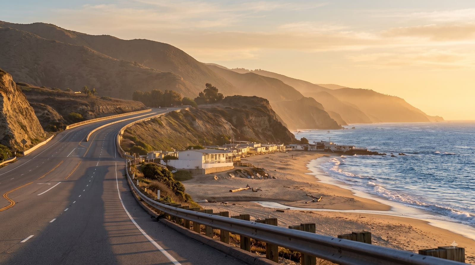
AI illustration
State Route 1 hugs the California coast for around a thousand kilometres, and while the whole road is drivable, the section everyone means runs from Monterey down through Big Sur to Morro Bay, where the Santa Lucia range drops straight into the Pacific and the road is cut into the cliff face a couple of hundred metres above the surf. Along it are the Bixby Creek Bridge, McWay Falls dropping onto a beach, the elephant seal colony at Piedras Blancas where thousands of animals haul out and bellow, and Hearst Castle on its hilltop, a newspaper magnate's collection of European interiors assembled into one house. North of San Francisco the road continues quieter through Point Reyes and Mendocino.
What you'll find
- Bixby Creek Bridge - the concrete arch that defines the Big Sur coast.
- McWay Falls - a waterfall dropping directly onto a cove beach.
- Piedras Blancas - thousands of elephant seals hauled out beside the road.
- Hearst Castle - the hilltop house of imported European rooms and pools.
When to go
September to November is the clearest, since summer brings persistent coastal fog that can hide the entire view for days; spring is green with wildflowers. Drive north to south so you are on the ocean side of the road, and start early because the pull-outs fill.
Things to know
Landslides close the Big Sur section regularly, sometimes for a year or more, and detours around it are long and inland, so check the road status before committing to the route. Summer fog is a real risk to the whole point of the drive. Fuel and rooms in Big Sur are limited and priced accordingly.
Nearby
Monterey and Carmel are at the north end; Morro Bay and San Luis Obispo at the south.
What to pack for The Pacific Coast Highway
Chosen from what this place is for. Tap a kit for the full checklist.
- Broken-in walking shoes or boots - Grip and ankle support matter more than looks; never hike in brand-new boots. Find on Amazon
- Quick-dry clothing - Board shorts or synthetics that shrug off spray and dry fast. Find on Amazon
- Layers + a waterproof shell - Mountain weather turns fast; a packable rain jacket saves the day. Find on Amazon
- Secure water shoes or reef boots - Grip on slippery launches and protection on rocky shores. Find on Amazon
Some links on this page are Amazon affiliate links - if you buy through them we may earn a small commission at no extra cost to you.
All packing kitsPlan your trip
Where to start if The Pacific Coast Highway is going on the list.
Booking links on this page are affiliate links - if you book through them we may earn a small commission at no extra cost to you. It never changes what we write about a place.
Opening times, ticket prices and seasonal closures change - check the official source before you go: official site.