The Imatong Mountains
The country's green roof - Kinyeti's 3,187-metre summit above montane forests, waterfalls and highland villages near the Uganda border.
Updated 21 October 2026
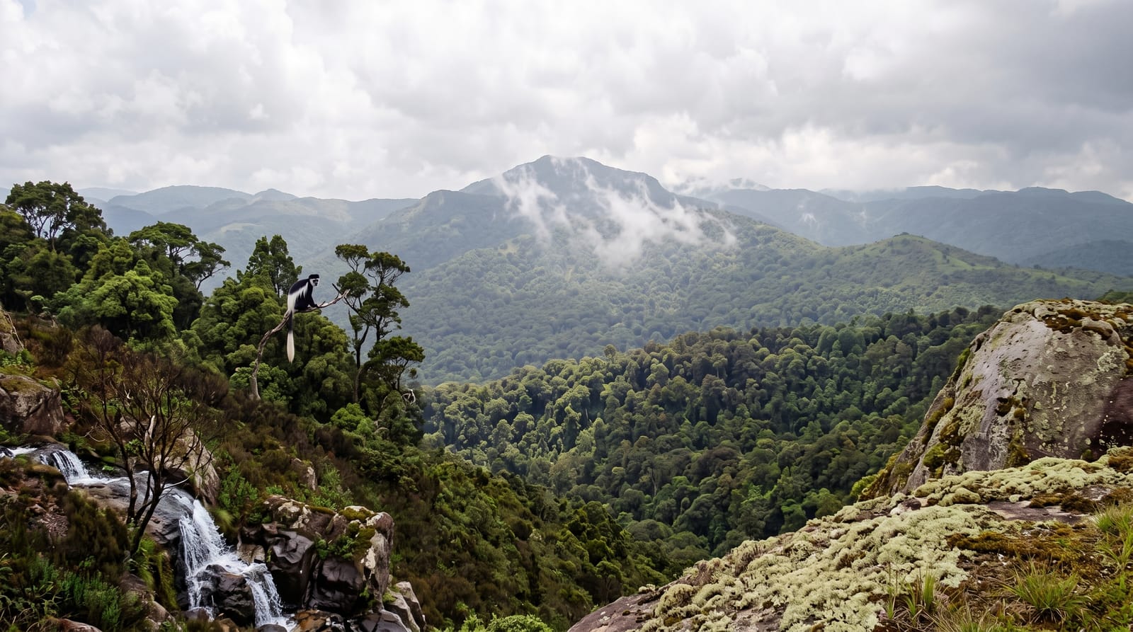
AI illustration
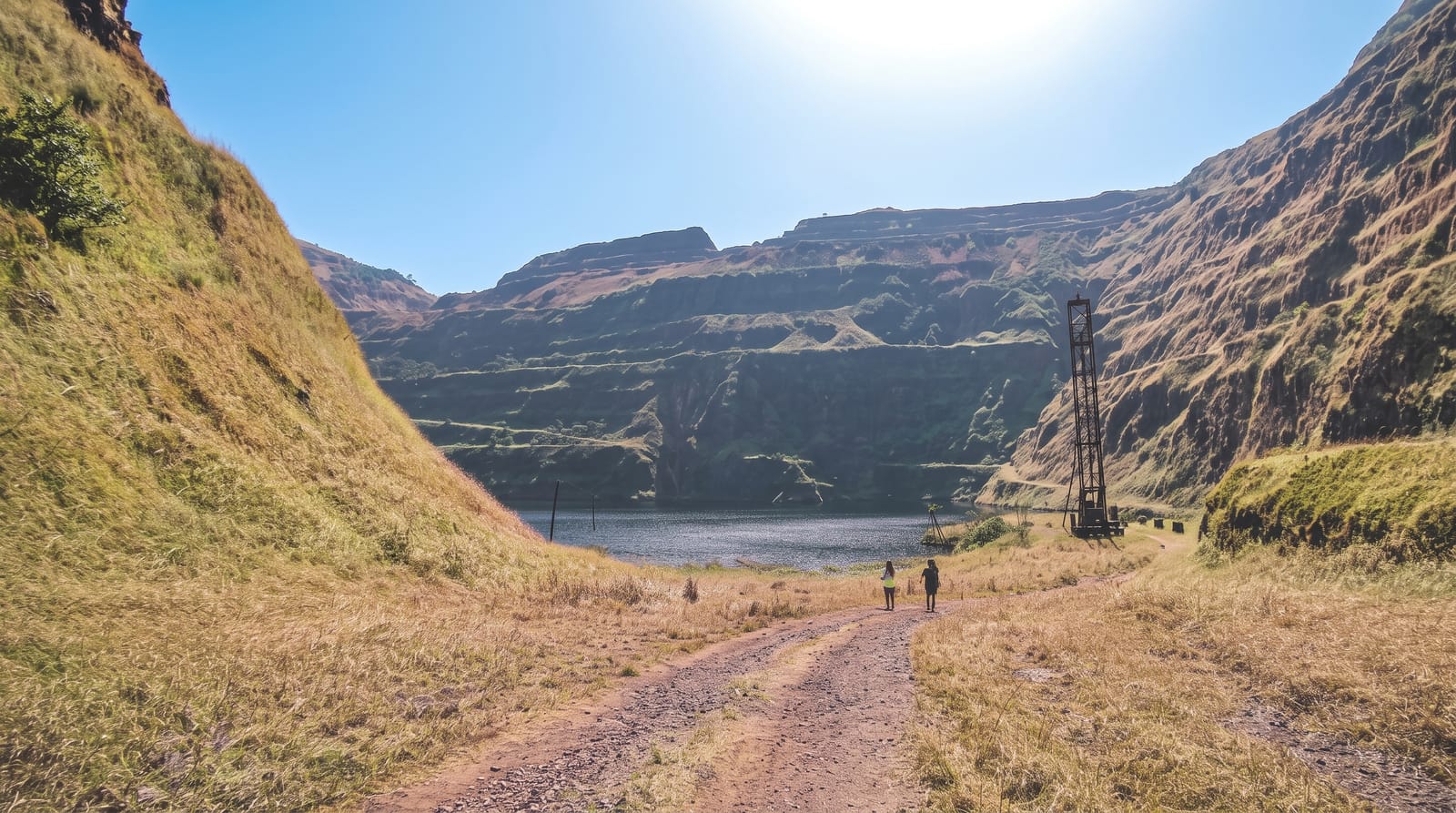
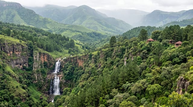
The Imatongs rise green and unexpected along the Uganda border, lifting the country's roof at Kinyeti - 3,187 metres of forested summit above ridges where montane forest holds colobus, turacos and orchid gardens, streams drop in waterfalls through the tea-cool air, and the old hill station at Gilo recalls the range's colonial-era summer role. The range lies some 190 kilometres south-east of Juba and runs on into Uganda; since the mid-twentieth century much of its forest has been cleared for farming and the slopes have eroded. Trekking runs village-arranged from the Torit side when the standing terms allow: forest paths to ridge camps, summit pushes at dawn, and highland hospitality in communities that see visitors rarely enough to remember each one.
What you'll find
- Kinyeti's summit - the national high point at 3,187 metres.
- The montane forests - colobus and turacos in the cool belt.
- The stream falls - cascades through the highland green.
- Gilo's hill station - the range's cool-air heritage.
When to go
December to February, the driest window, suits the trekking in principle. Arrange the trip through specialist local operators.
Before you go
On the range: trails are village knowledge, camps are carried, and the mountains' generosity repays expedition-grade preparation - this is highland travel at its most unbrokered.
Nearby
Torit and the Eastern Equatoria hills.
Key facts
Source: Wikidata, item Q1659738, read on 18 October 2026.
What to pack for The Imatong Mountains
Chosen from what this place is for. Tap a kit for the full checklist.
- Broken-in walking shoes or boots - Grip and ankle support matter more than looks; never hike in brand-new boots. Find on Amazon
- Layers for big temperature swings - Warm sun by day, near-freezing at night, even near the equator. Find on Amazon
- Shelter suited to the place - Tent, tarp or hut booking - match it to the terrain and rules. Find on Amazon
- Layers + a waterproof shell - Mountain weather turns fast; a packable rain jacket saves the day. Find on Amazon
Some links on this page are Amazon affiliate links - if you buy through them we may earn a small commission at no extra cost to you.
All packing kitsPlan your trip
Where to start if The Imatong Mountains is going on the list.
Booking links on this page are affiliate links - if you book through them we may earn a small commission at no extra cost to you. It never changes what we write about a place.
Opening times, ticket prices and seasonal closures change - check the official source before you go: official site.