The Cap de Miquelon
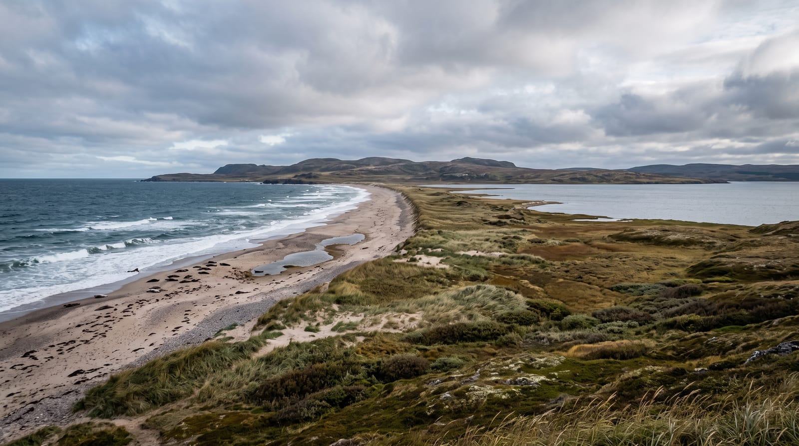
The heath headland - trails over the big island's northern cape, cliffs, deer sightings and Newfoundland on clear horizons.
Updated 4 September 2026

AI illustration
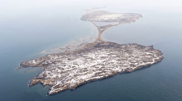
Behind Miquelon village the land rises into the Cap - the big island's northern headland, where marked trails cross heath and stunted spruce to cliff viewpoints over cove-bitten coast, seabirds working the updrafts and, on clear days, Newfoundland's shore drawn across the strait. The cape's introduced white-tailed deer drift the barrens photogenically, berry season purples the trailsides (locals guard their patches with courteous ferocity), and the walking - kilometres of well-marked options - constitutes the archipelago's best land-based day, fog permitting and often improving. The cape closes the northern end of Miquelon and the ground rises steadily toward it.
Highlights
- The cliff viewpoints - cove coast and strait horizons.
- The deer barrens - drifting silhouettes on the heath.
- The berry seasons - purple trailsides in August.
- Newfoundland's line - the neighbour drawn on clear days.
When to go
June to September for open trails; August adds berries and the clearest chances. Fog transforms rather than cancels - dress for it.
Before you go
Weather rules the cape absolutely - layers, wind shells and turn-back sense; trails are marked but exposed, and services end at the village.
Nearby
Miquelon village, the Barachois and the isthmus road south.
What to pack for The Cap de Miquelon
Chosen from what this place is for. Tap a kit for the full checklist.
- Broken-in walking shoes or boots - Grip and ankle support matter more than looks; never hike in brand-new boots. Find on Amazon
- Spare batteries + cards - Cold and long shoots drain power; never run out at the good light. Find on Amazon
- Layers + a waterproof shell - Mountain weather turns fast; a packable rain jacket saves the day. Find on Amazon
- A compact tripod - Essential for night skies, aurora, waterfalls and low light. Find on Amazon
Some links on this page are Amazon affiliate links - if you buy through them we may earn a small commission at no extra cost to you.
All packing kitsPlan your trip
Where to start if The Cap de Miquelon is going on the list.
Booking links on this page are affiliate links - if you book through them we may earn a small commission at no extra cost to you. It never changes what we write about a place.
Opening times, ticket prices and seasonal closures change - check the official source before you go: official site.