Queen Mary's Peak
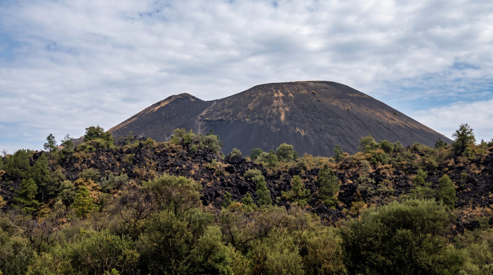
The summit of Tristan da Cunha, an active volcano with a crater lake at the top.
Updated 21 October 2026
Queen Mary's Peak rises to 2,062 metres above the settlement, the summit of an active volcano and the highest point of any British territory with a permanent population, named after Queen Mary of Teck, whose eruption of 1961 forced the entire population to evacuate to England for two years before they voted almost unanimously to return. The climb goes up through the Base, then tussock and fern, to a crater some three hundred metres wide at the top holding a small heart-shaped lake that freezes in winter. An underwater eruption off the island followed in 2004. Cloud sits on the summit most days.
Highlights
- The summit crater - the bowl at 2,062 metres with its small lake.
- The 1961 eruption - the event that emptied the island for two years.
- The climb - the route up through the Base and the tussock above.
- The island view - the whole of Tristan below on the rare clear day.
When to go
October to March is the southern summer and the climbing window. Cloud covers the summit most days in any season. Weather can change within the hour.
What to expect
The climb is long, steep and genuinely serious, and a local guide plus council permission are required. Cloud usually means no view. Weather can turn dangerously fast at this latitude.
Nearby
Edinburgh of the Seven Seas is below, and the Potato Patches are west.
Key facts
Source: Wikidata, item Q2062890, read on 18 October 2026.
What to pack for Queen Mary's Peak
Chosen from what this place is for. Tap a kit for the full checklist.
- Broken-in walking shoes or boots - Grip and ankle support matter more than looks; never hike in brand-new boots. Find on Amazon
- Layers + a waterproof shell - Mountain weather turns fast; a packable rain jacket saves the day. Find on Amazon
- Daypack with rain cover - 20-30 litres holds water, snacks, layers and a first-aid kit. Find on Amazon
- Offline maps + a power bank - Download the trail before you lose signal; carry backup charge. Find on Amazon
Some links on this page are Amazon affiliate links - if you buy through them we may earn a small commission at no extra cost to you.
All packing kitsPlan your trip
Where to start if Queen Mary's Peak is going on the list.
Booking links on this page are affiliate links - if you book through them we may earn a small commission at no extra cost to you. It never changes what we write about a place.
Opening times, ticket prices and seasonal closures change - check the official source before you go: official site.
Keep exploring


← More nature & outdoors in Saint Helena, Ascension and Tristan da Cunha