Karakol Lakes
Seven small lakes stepping down a slope of the Iolgo ridge, each at a different height and each a different character.
Updated 14 October 2026
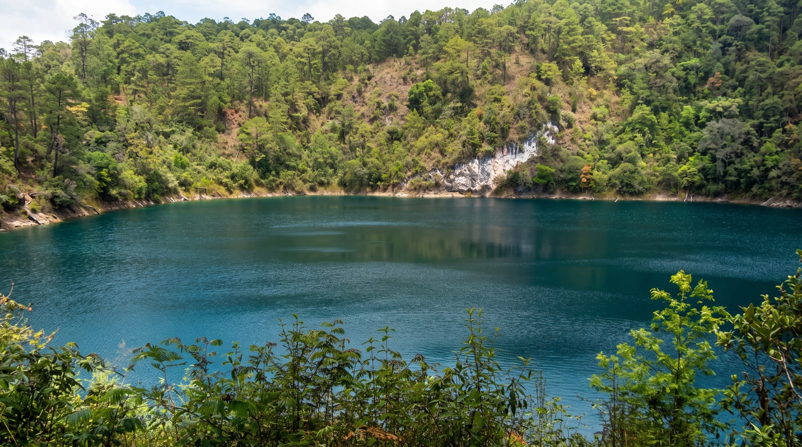
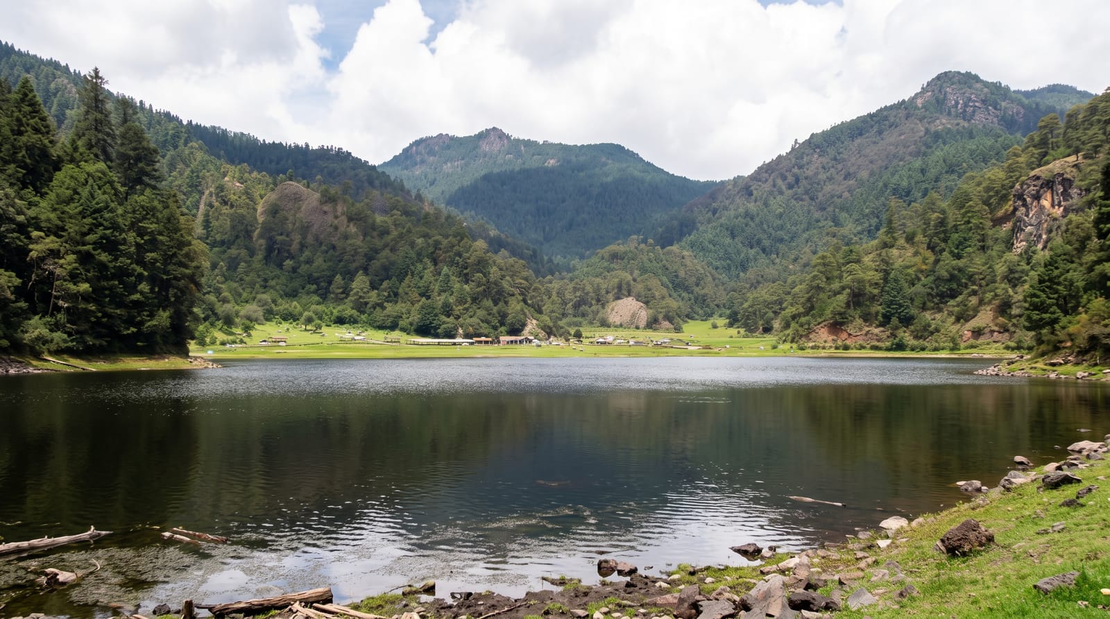
The Karakol lakes lie in a cirque on the western slope of the Iolgo ridge, seven of them in a stepped line from about eighteen hundred to twenty-one hundred metres, each draining into the one below - the lowest in cedar forest, the middle ones at the treeline in meadow, and the upper two in bare rock and tundra with snow patches lasting into summer. Because they climb through the vegetation zones in a couple of kilometres, the whole altitudinal sequence of the Altai is visible in a short walk, which is why the area is a nature park and used for teaching. Access is by off-road transfer up a very rough track from Elekmonar - about thirty kilometres taking two to three hours - then a walk of a few kilometres to the lakes, with camps and huts at the lower ones. Muhtur and the Bagatash pass are above, and the Uch-Enmek nature park adjoins.
What you'll find
- The seven lakes - a stepped chain from about eighteen hundred to twenty-one hundred metres.
- The zone sequence - cedar forest to treeline meadow to bare tundra in two kilometres.
- The upper lakes - rock basins holding snow patches into the summer.
- The rough approach - thirty kilometres of track taking two to three hours by vehicle.
When to go
July to September; snow lies late and the track is impassable outside summer. Two to four days including the transfer.
What to expect
The track from Elekmonar is severe - only proper off-road vehicles manage it and the ride is uncomfortable for hours. Permits are required. Weather at the upper lakes turns fast. Facilities are basic camps. Mosquitoes at the lower lakes.
Nearby
Chemal and the Katun valley are west; the Uch-Enmek park is south.
Key facts
Source: Wikidata, item Q4213914, read on 18 October 2026.
What to pack for Karakol Lakes
Chosen from what this place is for. Tap a kit for the full checklist.
- Reef-safe sunscreen - High SPF that will not bleach the coral you are swimming over. Find on Amazon
- Warm base layers - Merino or synthetic against the skin - never cotton, which chills when damp. Find on Amazon
- Shelter suited to the place - Tent, tarp or hut booking - match it to the terrain and rules. Find on Amazon
- Quick-dry towel - A microfibre towel packs small and dries in minutes. Find on Amazon
Some links on this page are Amazon affiliate links - if you buy through them we may earn a small commission at no extra cost to you.
All packing kitsPlan your trip
Where to start if Karakol Lakes is going on the list.
Booking links on this page are affiliate links - if you book through them we may earn a small commission at no extra cost to you. It never changes what we write about a place.
Opening times, ticket prices and seasonal closures change - check the official source before you go: official site.