Belukha Mountain
The highest summit in Siberia at 4,506 metres, twin-peaked and glaciered, sacred to Altaians and closed on its upper slopes.
Updated 21 October 2026
UNESCO World Heritage
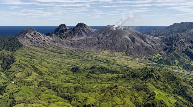
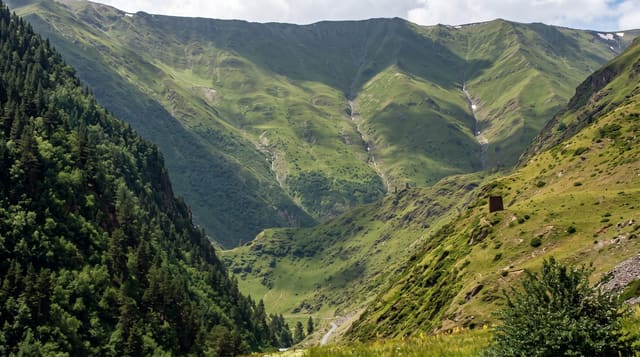
Belukha rises to 4,506 metres on the Katun ridge, the highest point in Siberia and the whole Altai, with two summits and a large glacier system - about a hundred and seventy square kilometres of ice on the massif, feeding the Katun and the Belaya Berel. It sits inside the Golden Mountains of Altai UNESCO site and on the border with Kazakhstan, which means a border zone permit is required in addition to everything else, arranged well in advance. In Altai tradition the mountain is Uch-Sumer and is sacred; climbing to the summit is regarded by many Altaians as improper, and the upper slopes are formally restricted, with the Ak-Kem valley and the lakes below being where most trekking stops. The standard approach is from Tyungur over the Kuzuyak pass to the Ak-Kem lake, three or four days each way, with the mountain reflected in the lake as the classic view.
History
Its Altai name, Üç-Sümer, means the three peaks. The Tronov brothers made the first ascent in 1914, and most climbs of the eastern peak still follow their southern route; the Altai is lower than other Asian ranges but very remote, and reaching the mountain takes much time and planning. From 2001 to 2003 scientists drilled ice cores on the Belukha Glacier, some down to bedrock, and tritium dating suggests the deepest may hold 3,000 to 5,000 years of climate and environmental records; a Swiss-Russian team has also studied the glacier (Wikipedia, Belukha Mountain).
What you'll find
- The twin summits - 4,506 metres, the highest ground in Siberia.
- The glaciers - about a hundred and seventy square kilometres of ice on the massif.
- Ak-Kem lake - the standard trekking destination with the north face above it.
- The sacred status - Uch-Sumer in Altai tradition, with climbing regarded as improper.
When to go
July to September for trekking; the climbing season is short and technical. A week to two weeks. Border permits take weeks to arrange.
Before you go
Border zone permits are compulsory, take time and are checked - without one you are turned back. The trek from Tyungur is three or four days each way with river crossings and passes. Climbing is serious mountaineering. Altai views on the sacredness of the summit deserve respect.
Nearby
Tyungur is the trailhead; the Katun river and Multinskiye lakes are west.
Key facts
Source: Wikidata, item Q724367, read on 18 October 2026.
What to pack for Belukha Mountain
Chosen from what this place is for. Tap a kit for the full checklist.
- Broken-in walking shoes or boots - Grip and ankle support matter more than looks; never hike in brand-new boots. Find on Amazon
- Warm base layers - Merino or synthetic against the skin - never cotton, which chills when damp. Find on Amazon
- Layers for big temperature swings - Warm sun by day, near-freezing at night, even near the equator. Find on Amazon
- Modest clothing - Shoulders and knees covered - the single most common requirement. Find on Amazon
Some links on this page are Amazon affiliate links - if you buy through them we may earn a small commission at no extra cost to you.
All packing kitsPlan your trip
Where to start if Belukha Mountain is going on the list.
Booking links on this page are affiliate links - if you book through them we may earn a small commission at no extra cost to you. It never changes what we write about a place.
Opening times, ticket prices and seasonal closures change - check the official source before you go: official site.