Turrialba Volcano
An active volcano east of San José that has erupted repeatedly since 2010, closing and reopening as the ash allows.
Updated 1 September 2026
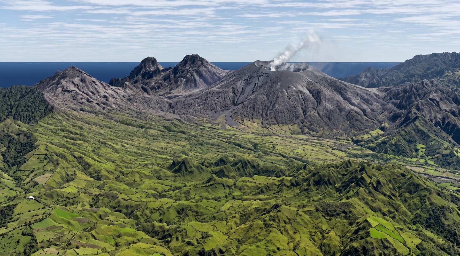
AI illustration
Turrialba rises to three thousand three hundred and forty metres beside Irazú and it is the most consistently active volcano in the country: after a long quiet period it began erupting again in 2010 and has produced ash columns repeatedly since, occasionally dusting San José and closing the international airport. The national park around it has been closed for long stretches and opened in limited form when activity allows, with restricted access to a viewpoint rather than the crater rim. The slopes below are dairy and cheese country, and the road up passes farms producing a local cheese that has protected origin status.
Highlights
- The active crater - viewed from the permitted distance when open.
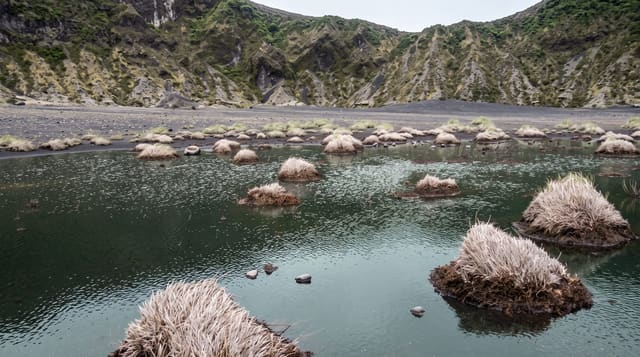
- The ash landscape - vegetation killed by repeated fallout on the upper slopes.
- Turrialba cheese - made on the farms along the road up.
- The view to Irazú - the neighbouring volcano across the saddle.
When to go
December to April is the dry season and the best chance of a clear view. Access depends entirely on current volcanic activity: the park has been closed for years at a time and opens under restrictions. Check the current status with the national parks service before planning.
Practical notes
This is an actively erupting volcano and access is genuinely conditional; assume the park may be closed and treat any visit as a bonus. Ash has damaged crops, roofs and lungs on the surrounding farms, so the eruption is not a spectacle for the people who live here. The road up is rough. Volcanic gas can be hazardous close to the vent.
Nearby
Turrialba town and the Pacuare are below; Irazú is across the saddle.
Key facts
Source: Wikidata, item Q546876, read on 18 October 2026.
What to pack for Turrialba Volcano
Chosen from what this place is for. Tap a kit for the full checklist.
- Broken-in walking shoes or boots - Grip and ankle support matter more than looks; never hike in brand-new boots. Find on Amazon
- Layers for big temperature swings - Warm sun by day, near-freezing at night, even near the equator. Find on Amazon
- Layers + a waterproof shell - Mountain weather turns fast; a packable rain jacket saves the day. Find on Amazon
- Extra-strong sun protection - Thin air means fierce UV; hat, sunglasses and high-SPF sunscreen. Find on Amazon
Some links on this page are Amazon affiliate links - if you buy through them we may earn a small commission at no extra cost to you.
All packing kitsPlan your trip
Where to start if Turrialba Volcano is going on the list.
Booking links on this page are affiliate links - if you book through them we may earn a small commission at no extra cost to you. It never changes what we write about a place.
Opening times, ticket prices and seasonal closures change - check the official source before you go: official site.