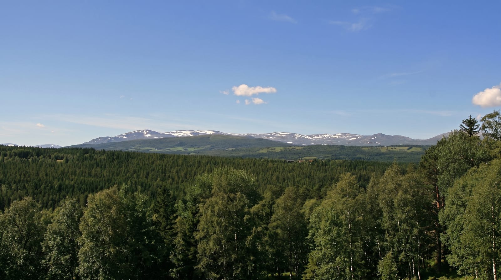
Făgăraș Mountains
Romania's highest range, a seventy-kilometre wall of ridges holding Moldoveanu, Negoiu and a chain of glacial lakes.
Updated 21 October 2026
The Făgăraș range is the highest ground in Romania and the closest thing the country has to an alpine massif: a long east to west wall carrying both Moldoveanu at 2,544 metres and Negoiu at 2,535, with steep glacial cirques biting into the northern side and holding lakes at their heads - Bâlea is the largest, Podragu, at about fifteen metres, the deepest. The full ridge traverse takes about a week and is the great Romanian mountain undertaking, a serious commitment with scrambling sections, cable-protected passages and refuges spaced a long day apart. Most visitors meet the range instead at Bâlea, where the Transfăgărășan road climbs to a lake at over two thousand metres and a cable car runs up from the valley below, making the high mountains accessible to anyone with a car. Away from that single point the range empties out fast, and it holds one of Europe's most significant populations of brown bears alongside wolves and chamois.
The landscape
- Bâlea Lake - a glacial lake at the top of the Transfăgărășan, the busiest point in the range.
- Moldoveanu and Negoiu - the two highest peaks in the country, both long days from any road.
- The main ridge traverse - a week-long high route with protected sections.
- Glacial cirques and lakes - Podragu, Capra and others tucked under the crest.
When to go
July to September is the working season; snow lies in the cirques into summer and the Transfăgărășan itself closes from late autumn until June. Storms are frequent in the afternoons. Winter here is full alpine terrain with avalanche risk and requires proper equipment and experience.
Before you go
This is the most serious walking country in Romania and it is regularly underestimated. Refuges are small, unstaffed and can be full, weather changes within an hour, and several ridge sections involve exposed scrambling. Bâlea in July is packed with day trippers and food stalls, which surprises people expecting wilderness. Bears are numerous, and feeding at roadside pull-offs on the Transfăgărășan has made some of them bold.
Nearby
The Transfăgărășan crosses the range; Sâmbăta de Sus monastery sits on the northern foot.
Key facts
Source: Wikidata, item Q847604, read on 18 October 2026.
What to pack for Făgăraș Mountains
Chosen from what this place is for. Tap a kit for the full checklist.
- Broken-in walking shoes or boots - Grip and ankle support matter more than looks; never hike in brand-new boots. Find on Amazon
- Warm base layers - Merino or synthetic against the skin - never cotton, which chills when damp. Find on Amazon
- Layers for big temperature swings - Warm sun by day, near-freezing at night, even near the equator. Find on Amazon
- Modest clothing - Shoulders and knees covered - the single most common requirement. Find on Amazon
Some links on this page are Amazon affiliate links - if you buy through them we may earn a small commission at no extra cost to you.
All packing kitsPlan your trip
Where to start if Făgăraș Mountains is going on the list.
Booking links on this page are affiliate links - if you book through them we may earn a small commission at no extra cost to you. It never changes what we write about a place.
Opening times, ticket prices and seasonal closures change - check the official source before you go: official site.