Trollheimen
A range between Oppdal and Sunndal mixing alpine peaks with gentle plateau, threaded with old summer-farm valleys.
Updated 21 October 2026
AI illustration
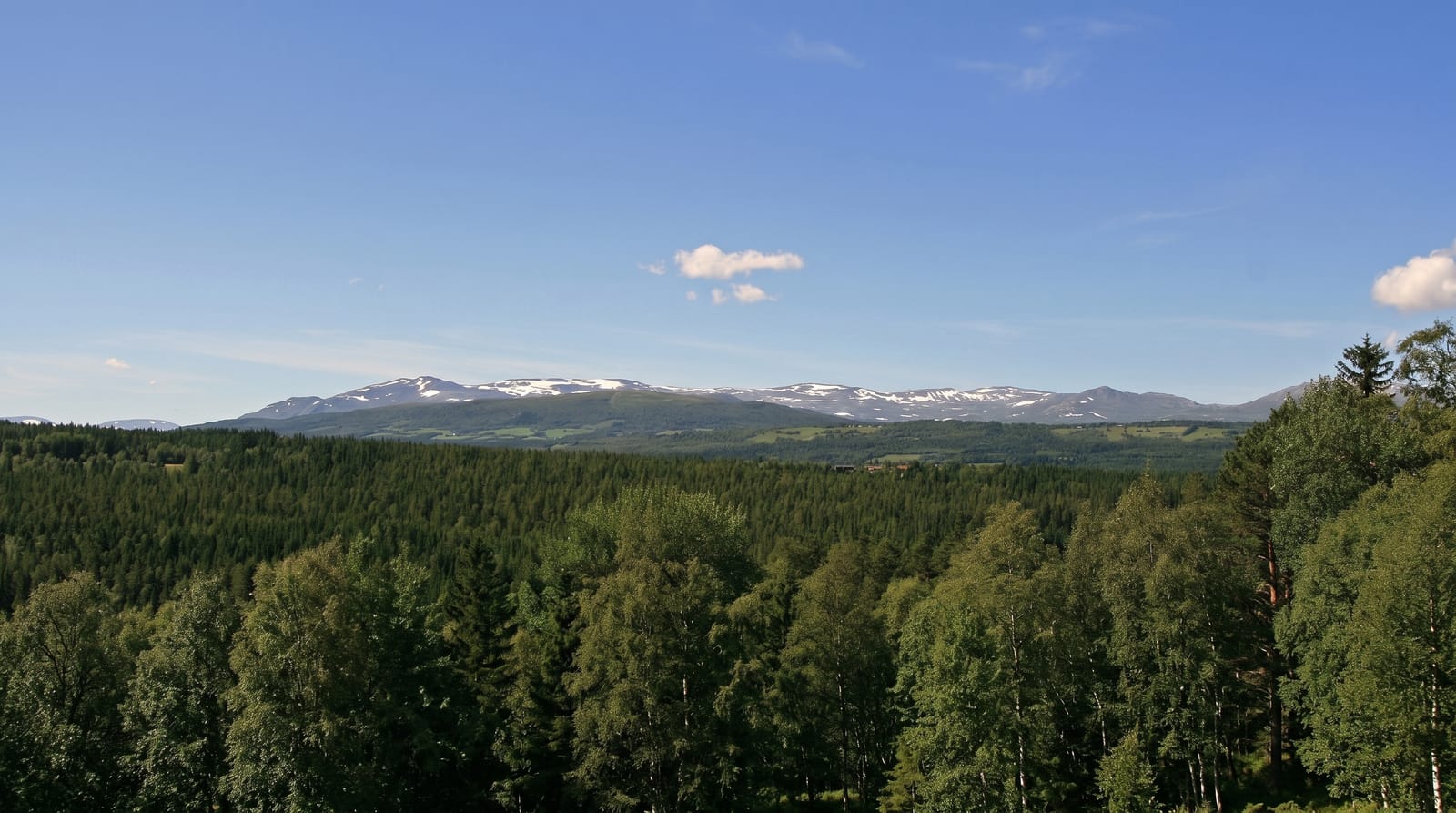
Trollheimen covers about three thousand square kilometres between Oppdal and the Sunndal fjords, and it is unusual among Norwegian ranges for containing two different landscapes side by side: sharp alpine peaks and glacier remnants in the west around Innerdalen and Trollhetta, and rounded plateau with lakes and gentle valleys in the east. That mix, along with a good network of staffed and self-service lodges, makes it a favourite for multi-day walking without the crowds of Jotunheimen. The valleys hold seters, summer farms where cattle were taken to graze, some still working and several serving food. The Trekanten route linking three lodges is the standard introduction, done in three days.
History
The name, "the home of the trolls", was proposed by Håkon Løken and used by Trondhjems Turistforening in the 1880s; it is a tourist name, since the area had no single name before, and it has become the common name for the range (Wikipedia, Trollheimen).
Highlights
- The two landscapes - alpine peaks west, rounded plateau east.
- The seter valleys - summer farms, some still grazing cattle.
- The lodge network - staffed and self-service huts across the range.
- The Trekanten route - a three-day circuit between three lodges.
When to go
July to September for walking, once the snow has left the passes; the huts open roughly late June to late September. Winter is ski-touring terrain with a different and more demanding set of requirements.
What to expect
Weather is wet and changes fast, and river crossings can become dangerous after rain. Self-service lodges need a DNT key and members pay less. Marked routes are cairned but navigation still matters in fog. Some access roads are toll-charged.
Nearby
Innerdalen sits at the western edge; Oppdal, Dovrefjell and the Rondane lie east and south.
Key facts
Source: Wikidata, item Q509970, read on 18 October 2026.
What to pack for Trollheimen
Chosen from what this place is for. Tap a kit for the full checklist.
- Broken-in walking shoes or boots - Grip and ankle support matter more than looks; never hike in brand-new boots. Find on Amazon
- Warm base layers - Merino or synthetic against the skin - never cotton, which chills when damp. Find on Amazon
- Shelter suited to the place - Tent, tarp or hut booking - match it to the terrain and rules. Find on Amazon
- Layers + a waterproof shell - Mountain weather turns fast; a packable rain jacket saves the day. Find on Amazon
Some links on this page are Amazon affiliate links - if you buy through them we may earn a small commission at no extra cost to you.
All packing kitsPlan your trip
Where to start if Trollheimen is going on the list.
Booking links on this page are affiliate links - if you book through them we may earn a small commission at no extra cost to you. It never changes what we write about a place.
Opening times, ticket prices and seasonal closures change - check the official source before you go: official site.


