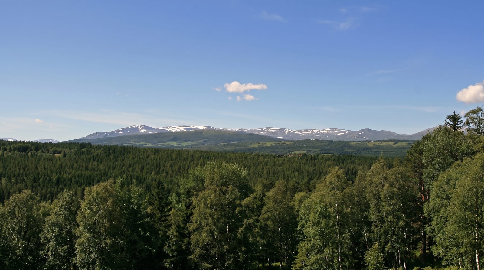
Tjoritja / West MacDonnell Ranges
A line of ancient red ranges west of Alice Springs, cut by gorges holding permanent waterholes and relict plants.
Updated 14 October 2026

AI illustration
The West MacDonnell Ranges run for over two hundred kilometres west of Alice Springs, folded quartzite ridges from a mountain range once far higher, worn down over hundreds of millions of years and cut through by gaps and gorges where rivers broke through as the land rose. Simpsons Gap, Standley Chasm, Ellery Creek Big Hole, Serpentine Gorge, Ormiston Gorge, Glen Helen and Redbank Gorge follow one another along the road, each with waterholes that hold through the dry and support relict plants like the MacDonnell Ranges cycad. Black-footed rock-wallabies live in the rockpiles. The country is Arrernte, and the ranges carry the name Tjoritja.
The landscape
- Ormiston Gorge - a wide gorge with a deep waterhole and a pound walk.
- Ellery Creek Big Hole - a permanent waterhole between quartzite walls.
- Simpsons Gap - a narrow gap with rock-wallabies in the boulders.
- The relict plants - cycads and ferns surviving in shaded gorges.
When to go
April to September; summer heat exceeds forty degrees and swimming holes become the only relief. Water in the gorges is cold year-round, sometimes shockingly so. Winter nights drop below freezing in the ranges.
What to expect
The waterholes are very cold and several have caused cold-water shock incidents. Distances between gorges are long, up to a hundred and fifty kilometres to the western end. Flies in the warm months are relentless.
Nearby
Alice Springs lies east; the Larapinta Trail follows the ranges.
What to pack for Tjoritja / West MacDonnell Ranges
Chosen from what this place is for. Tap a kit for the full checklist.
- Broken-in walking shoes or boots - Grip and ankle support matter more than looks; never hike in brand-new boots. Find on Amazon
- Reef-safe sunscreen - High SPF that will not bleach the coral you are swimming over. Find on Amazon
- Layers + a waterproof shell - Mountain weather turns fast; a packable rain jacket saves the day. Find on Amazon
- Quick-dry towel - A microfibre towel packs small and dries in minutes. Find on Amazon
Some links on this page are Amazon affiliate links - if you buy through them we may earn a small commission at no extra cost to you.
All packing kitsPlan your trip
Where to start if Tjoritja / West MacDonnell Ranges is going on the list.
Booking links on this page are affiliate links - if you book through them we may earn a small commission at no extra cost to you. It never changes what we write about a place.
Opening times, ticket prices and seasonal closures change - check the official source before you go: official site.