Standley Chasm
A cleft nine metres wide and eighty high that glows orange for a few minutes when the midday sun reaches the floor.
Updated 4 September 2026
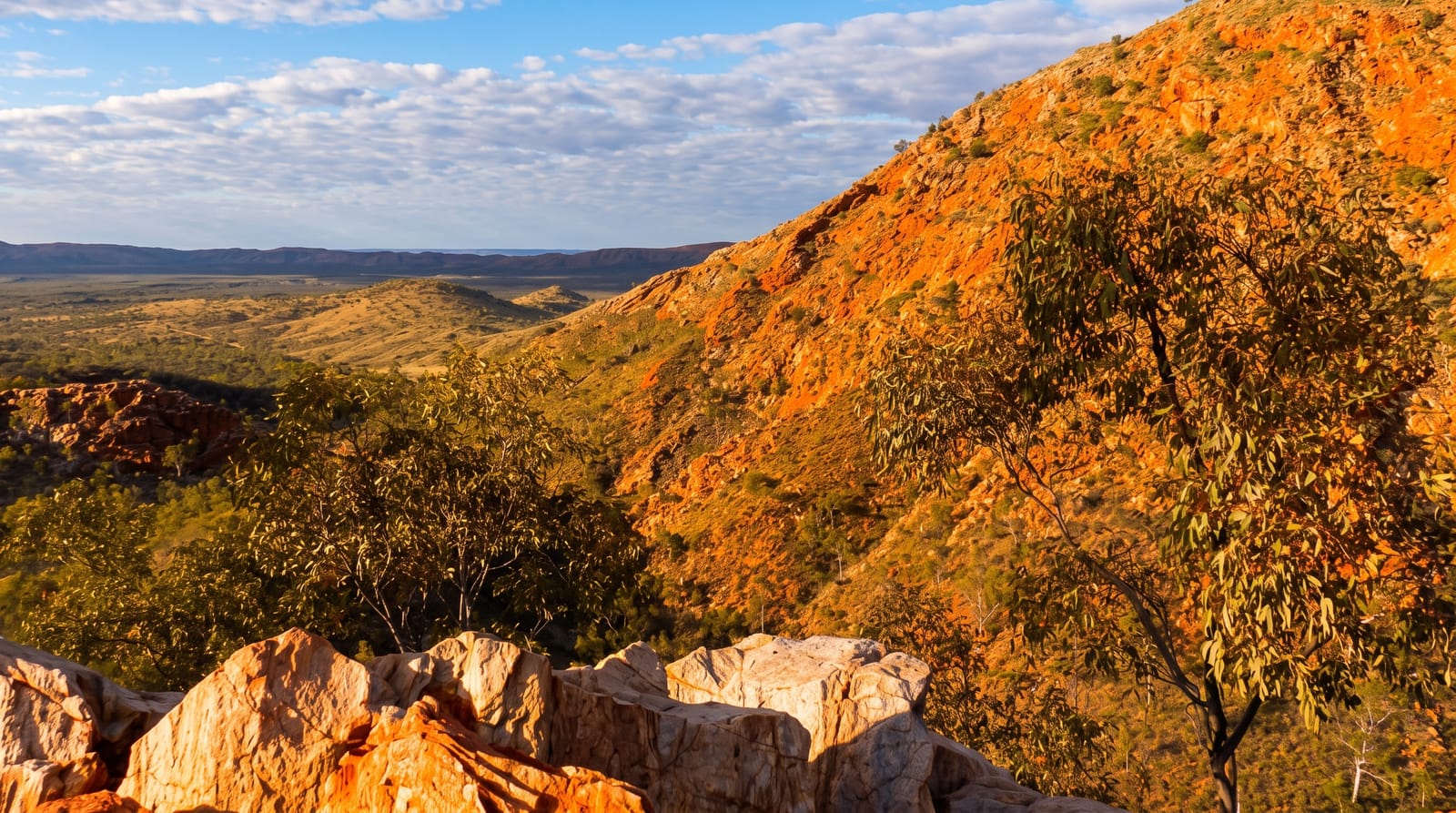
AI illustration
Standley Chasm, Angkerle Atwatye in Arrernte, is a narrow gap in the quartzite of the West MacDonnell Ranges, about nine metres wide with walls rising eighty metres, cut by a tributary of the Finke over an enormous span of time. For a short period around noon, the sun climbs high enough to strike the western wall directly, and the reflected light turns the rock a deep glowing orange for perhaps twenty minutes before moving on, which is why coaches arrive in convoy at eleven-thirty. The site is owned and operated by the Iwupataka Aboriginal Land Trust. A twenty-minute walk along a creek bed of cycads and ghost gums leads in.
Highlights
- The midday glow - the walls turning orange for twenty minutes around noon.
- The narrow chasm - nine metres wide between eighty-metre walls.
- The approach walk - a creek bed of cycads, ghost gums and rock figs.
- The community operation - the site run by its Aboriginal owners.
When to go
April to September for comfortable walking; the light effect happens around midday year-round, with the exact timing shifting seasonally and best from roughly October to March when the sun is highest. Coaches arrive for it, so the chasm is crowded then.
Good to know
Entry is charged. The famous glow lasts a short time and requires clear sky; cloud removes it entirely. The approach walk is rocky and uneven. Outside the midday window the chasm is in shadow and far less striking.
Nearby
Simpsons Gap lies east; Ellery Creek and Ormiston Gorge are west along the ranges.
Key facts
Source: Wikidata, item Q60760444, read on 18 October 2026.
What to pack for Standley Chasm
Chosen from what this place is for. Tap a kit for the full checklist.
- Broken-in walking shoes or boots - Grip and ankle support matter more than looks; never hike in brand-new boots. Find on Amazon
- Layers + a waterproof shell - Mountain weather turns fast; a packable rain jacket saves the day. Find on Amazon
- Daypack with rain cover - 20-30 litres holds water, snacks, layers and a first-aid kit. Find on Amazon
- Offline maps + a power bank - Download the trail before you lose signal; carry backup charge. Find on Amazon
Some links on this page are Amazon affiliate links - if you buy through them we may earn a small commission at no extra cost to you.
All packing kitsPlan your trip
Where to start if Standley Chasm is going on the list.
Booking links on this page are affiliate links - if you book through them we may earn a small commission at no extra cost to you. It never changes what we write about a place.
Opening times, ticket prices and seasonal closures change - check the official source before you go: official site.

