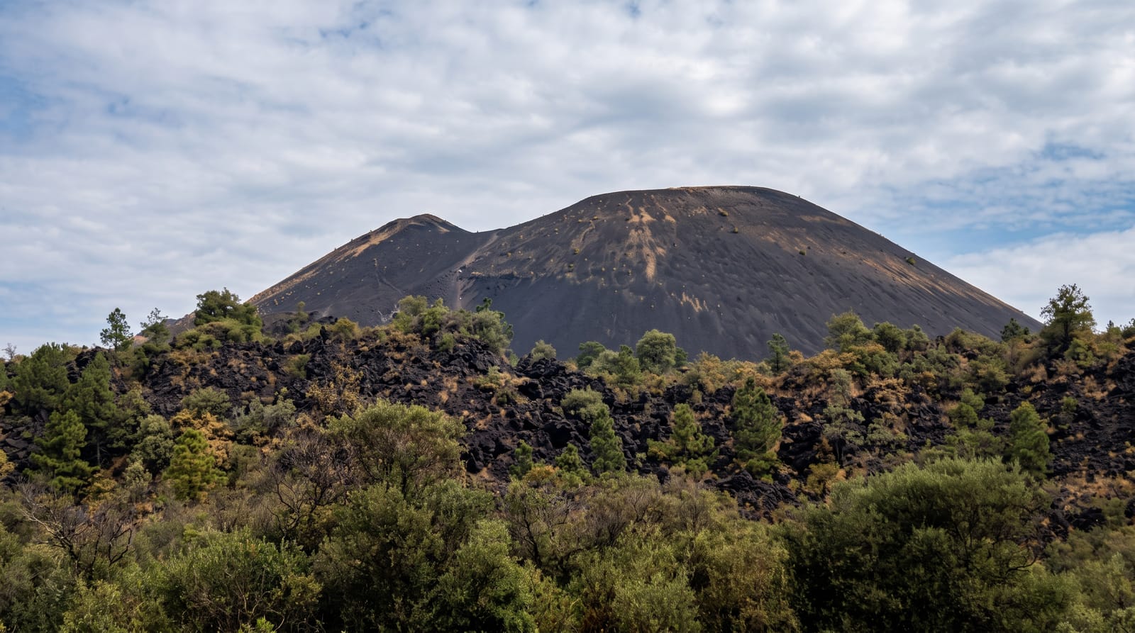
Capelinhos Volcano
A lighthouse half-buried in ash at the western tip of Faial, where an eruption in 1957 added land and emptied villages.
Updated 22 October 2026
In September 1957 a submarine eruption began off the western tip of Faial and continued for thirteen months, building an island that then joined itself to the coast and added about two and a half square kilometres of new land. Ash fell across the western half of the island, burying farms and blocking wells; the Farol dos Capelinhos, a lighthouse begun in 1894 and lit in 1903, was buried to the level of its upper floors and left standing in a grey desert. Around two thousand people emigrated, most to the United States under a special act of Congress passed for them, which is why so many Azorean-Americans in New England trace to Faial. The area today is a moon-like landscape of ash cones and eroding tuff, with an underground interpretation centre built into the ash, paths across it, and the lighthouse open to climb.
History
The eruption lasted 13 months, from 27 September 1957 to 24 October 1958, enlarged the island by 2.4 km², and was the first submarine eruption documented from beginning to end. By 10 October it had built a small island, called Ilha Nova by the locals, 600 metres across; the ash destroyed 300 houses in Capelo and Praia do Norte and forced the evacuation of 2,000 people (Wikipedia, Capelinhos).
Highlights
- The buried lighthouse - the Farol dos Capelinhos, lit in 1903, in ash to its upper floors.
- The new land - about two and a half square kilometres added by the 1957 eruption.
- The ash landscape - cones and eroding tuff, grey and largely bare.
- The emigration story - two thousand people who left, mostly for the United States.
When to go
Year-round. Two to three hours. The interpretation centre is closed on some days; check before travelling.
What to expect
Fierce, constant wind - the ash blows and gets everywhere. Nothing grows, so there is no shade or shelter. Ash and tuff underfoot is loose and paths are eroding; cliff edges are unstable. The interpretation centre and the lighthouse are ticketed separately from the free outdoor area.
Nearby
Horta and the marina are east; the Caldeira do Faial is in the island's centre.
Key facts
Source: Wikidata, item Q1034530, read on 18 October 2026.
What to pack for Capelinhos Volcano
Chosen from what this place is for. Tap a kit for the full checklist.
- Broken-in walking shoes or boots - Grip and ankle support matter more than looks; never hike in brand-new boots. Find on Amazon
- Head torch + spare batteries - Hands-free light is essential; caves are truly dark. Find on Amazon
- Loose, light, long clothing - Covering up beats bare skin in the desert - and locals dress this way for a reason. Find on Amazon
- Layers + a waterproof shell - Mountain weather turns fast; a packable rain jacket saves the day. Find on Amazon
Some links on this page are Amazon affiliate links - if you buy through them we may earn a small commission at no extra cost to you.
All packing kitsPlan your trip
Where to start if Capelinhos Volcano is going on the list.
Booking links on this page are affiliate links - if you book through them we may earn a small commission at no extra cost to you. It never changes what we write about a place.
Opening times, ticket prices and seasonal closures change - check the official source before you go: official site.