The Highest Point
The island in one look - Pitcairn's 347-metre crown, where the whole green rock and its endless ocean assemble.
Updated 4 September 2026

AI illustration
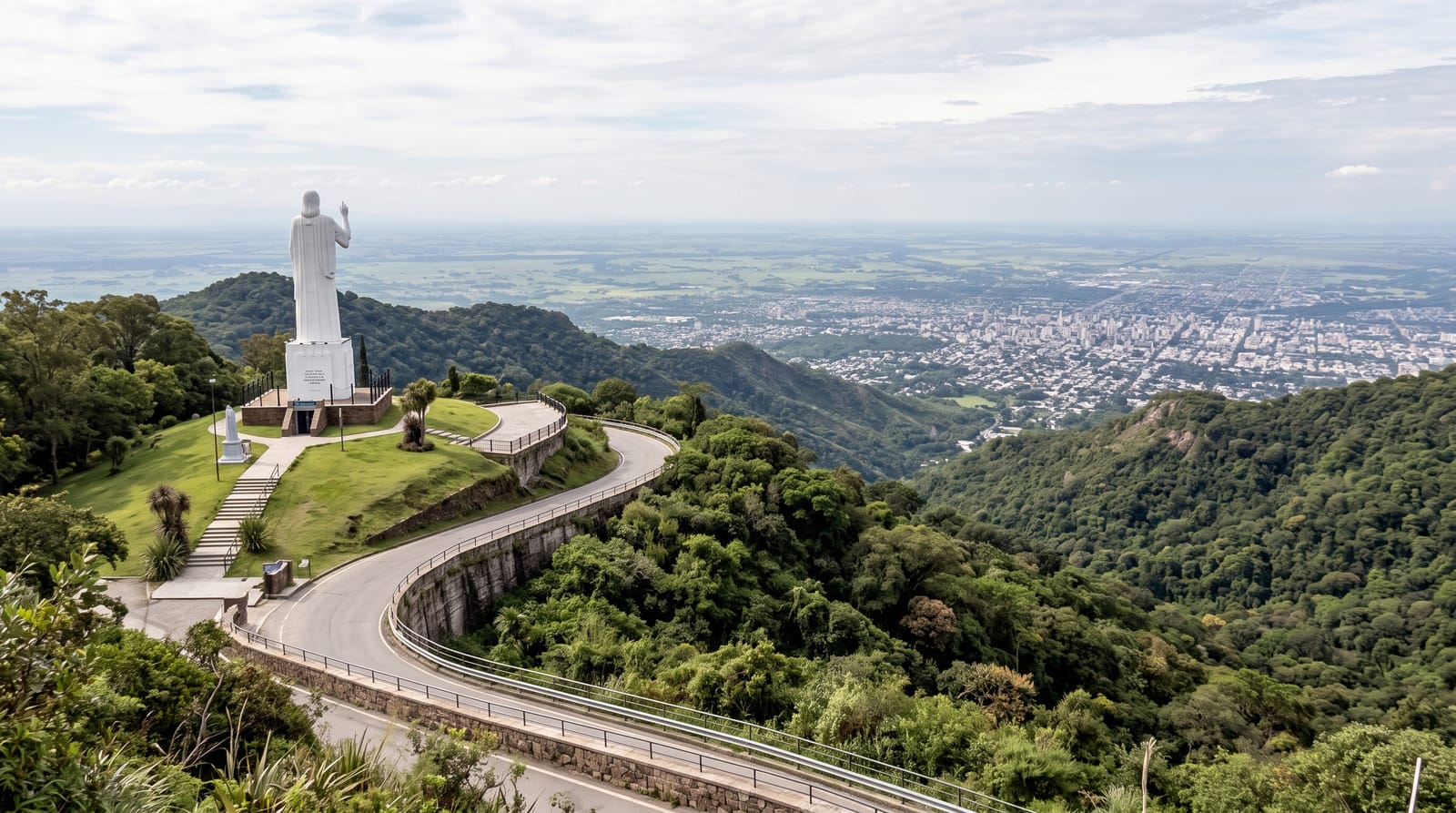
Pitcairn crowns at 347 metres, and the Highest Point's clearing assembles the entire proposition: the island's green wedge falling to cliffs on every side, Adamstown's roofs in their banyan pocket, Bounty Bay's landing far below, and the Pacific running unbroken to every horizon - the nearest inhabited neighbour hundreds of kilometres past the curve. The ridge tracks climb from the village through gardens and forest, quad bikes managing the island's gradients in local style, and the point's visitors-per-year arithmetic makes each summit photograph a genuine rarity. Pitcairn is only around three kilometres across at its longest, so the high ground is never far from the sea.
Highlights
- The whole island - the green wedge in one look.
- Adamstown's pocket - the capital under its banyans.
- Bounty Bay below - the landing's storied notch.
- The unbroken circle - ocean past every horizon.
When to go
November to April with the season; clear mornings serve the circle best - cloud caps briefly and moves on.
What to expect
Tracks are steep and red-slick after rain - the island default; the reward-to-effort ratio remains planetary.
Nearby
Adamstown, Christian's Cave and the ridge gardens.
What to pack for The Highest Point
Chosen from what this place is for. Tap a kit for the full checklist.
- Broken-in walking shoes or boots - Grip and ankle support matter more than looks; never hike in brand-new boots. Find on Amazon
- Head torch + spare batteries - Hands-free light is essential; caves are truly dark. Find on Amazon
- Spare batteries + cards - Cold and long shoots drain power; never run out at the good light. Find on Amazon
- Layers + a waterproof shell - Mountain weather turns fast; a packable rain jacket saves the day. Find on Amazon
Some links on this page are Amazon affiliate links - if you buy through them we may earn a small commission at no extra cost to you.
All packing kitsPlan your trip
Where to start if The Highest Point is going on the list.
Booking links on this page are affiliate links - if you book through them we may earn a small commission at no extra cost to you. It never changes what we write about a place.
Opening times, ticket prices and seasonal closures change - check the official source before you go: official site.