Samal Island
Davao's island across the strait - beaches, coves, a bat cave and dive sites, reached by a fifteen-minute ferry from the city.
Updated 22 October 2026
AI illustration
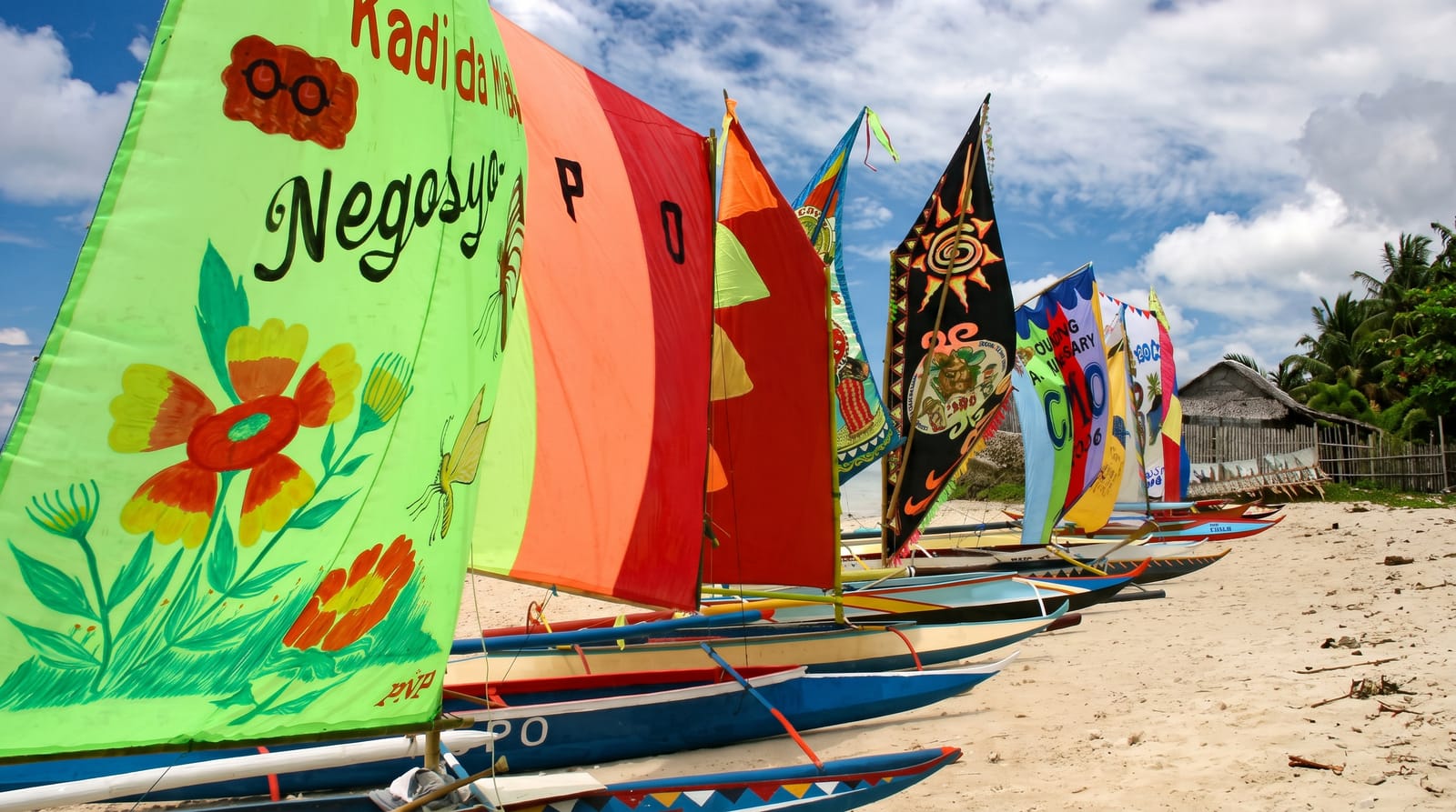
Samal sits directly across the Pacaña Strait from Davao City, close enough that the ferry takes fifteen minutes and city residents treat it as a weekend beach. Officially the Island Garden City of Samal, it is a full-sized island with a coastline of coves and beaches: Kaputian and Talicud on the quieter southern end, the resort strip along the western shore facing the city, and Hagimit Falls and the Monfort bat cave inland. Diving is good around Talicud Island next door, with coral gardens and a wall at Coral Garden and Angel's Cove. Because Davao is right there, Samal has more resorts and more development than most Philippine islands its size, ranging from expensive to very basic, and the western beaches fill on Sundays. The southern end and Talicud are where people go when they want the island version rather than the suburb version.
History
The name comes from the Sama-Bajau people, the island's first inhabitants, and Mansaka and Mandaya settlers from the mainland joined them under datus until the early 20th century. Samal became a municipality on 8 July 1948, Babak was split from it in 1953 and Kaputian in 1966, and on 30 January 1998 the three were merged into the Island Garden City of Samal (Wikipedia, Samal, Davao del Norte).
The landscape
- The western resort coast - beaches facing Davao City.
- Kaputian and the south - quieter sand at the far end.
- Talicud Island - the dive reefs and calmer shore next door.
- Hagimit Falls - small inland cascades and pools.
When to go
Year-round - Davao sits outside the main typhoon belt and the weather is unusually steady. February to May is driest. Weekdays avoid the city crowd.
Before you go
The west coast is developed and busy at weekends, with resort day-use fees at most beaches. Transport around the island is habal-habal or hired vehicle. Ferries queue on holidays.
Nearby
Davao City is fifteen minutes across the strait; the Monfort bat sanctuary is on the island itself.
What to pack for Samal Island
Chosen from what this place is for. Tap a kit for the full checklist.
- Reef-safe sunscreen - High SPF that will not bleach the coral you are swimming over. Find on Amazon
- Your own mask + snorkel - A well-fitting mask is the single biggest comfort upgrade underwater. Find on Amazon
- Head torch + spare batteries - Hands-free light is essential; caves are truly dark. Find on Amazon
- Quick-dry towel - A microfibre towel packs small and dries in minutes. Find on Amazon
Some links on this page are Amazon affiliate links - if you buy through them we may earn a small commission at no extra cost to you.
All packing kitsPlan your trip
Where to start if Samal Island is going on the list.
Booking links on this page are affiliate links - if you book through them we may earn a small commission at no extra cost to you. It never changes what we write about a place.
Opening times, ticket prices and seasonal closures change - check the official source before you go: official site.