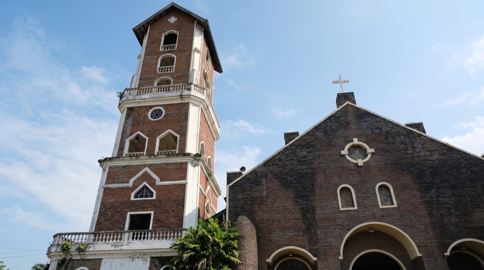
Palaui Island
A protected island off the northeast tip of Luzon, with a nineteenth-century lighthouse on a headland above two meeting seas.
Updated 21 October 2026
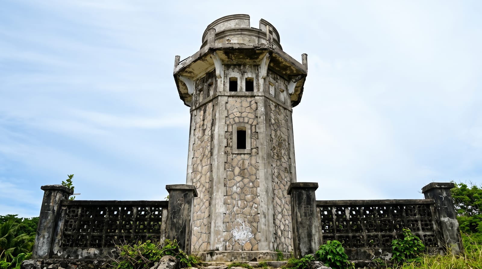
AI illustration
Palaui lies off the northeastern corner of Luzon where the Babuyan Channel meets the Pacific, an island about ten kilometres long and five wide, and it is a protected landscape and seascape rather than a resort island - no road system, limited power, a scattering of houses. The walk everyone comes for climbs to Cape Engano at the northern end, where a stone lighthouse built by the Spanish administration in 1892 stands roofless and open on a headland with islets strung out below it. You can reach it by boat and a short climb, or by a longer coastal trek from the village at Punta Verde. Siwangag Cove and the long pale sweep of Anguib beach on the mainland opposite are usually rolled into the same day.
The landscape
- Cape Engano lighthouse - the 1892 stone tower standing open on the headland at the island's north end.
- The view from the headland - islets and reef strung out where the channel meets the Pacific.
- Siwangag Cove - the sheltered bay below the lighthouse climb, used as the boat landing.
- Anguib beach - the long pale mainland beach usually visited on the same boat trip.
When to go
March to June is the calmest window and the most reliable for boats. The northeast monsoon from November to February makes the channel rough and crossings are refused often; the typhoon months from July to October are worse. Go early in the day - afternoon wind builds and boatmen want to be back before it does.
Things to know
The crossing is short but genuinely choppy, and trips are cancelled without much notice when the sea is up. The island has no shops worth the name, limited electricity and basic homestays, so bring water and cash. The lighthouse climb is exposed and hot. Getting to Santa Ana at all means a long drive up the Cagayan valley, and few people do it as a short detour.
Nearby
Santa Ana on the mainland has the port, and Anguib and Crocodile Island beaches are nearby.
Key facts
Source: Wikidata, item Q1410310, read on 18 October 2026.
What to pack for Palaui Island
Chosen from what this place is for. Tap a kit for the full checklist.
- Broken-in walking shoes or boots - Grip and ankle support matter more than looks; never hike in brand-new boots. Find on Amazon
- Reef-safe sunscreen - High SPF that will not bleach the coral you are swimming over. Find on Amazon
- Strong insect repellent - DEET or picaridin; the jungle is where bites and disease risk are highest. Find on Amazon
- Layers + a waterproof shell - Mountain weather turns fast; a packable rain jacket saves the day. Find on Amazon
Some links on this page are Amazon affiliate links - if you buy through them we may earn a small commission at no extra cost to you.
All packing kitsPlan your trip
Where to start if Palaui Island is going on the list.
Booking links on this page are affiliate links - if you book through them we may earn a small commission at no extra cost to you. It never changes what we write about a place.
Opening times, ticket prices and seasonal closures change - check the official source before you go: official site.