Laguna Choclococha
A wind-scoured lake at 4,500 metres on the Huancavelica puna, stocked with trout and visited by flamingos.
Updated 21 October 2026
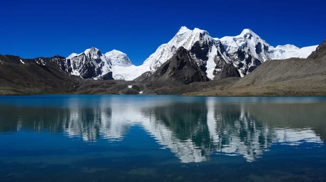
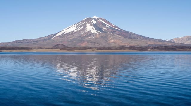
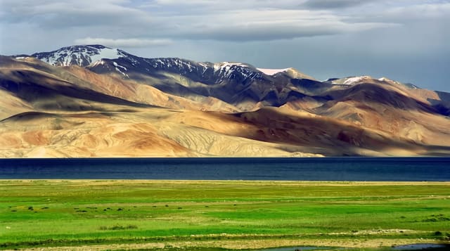
Choclococha sits at about 4,500 metres on the open puna where the road from Pisco climbs to cross towards Ayacucho and Huancavelica, and it is one of the highest sizeable lakes in Peru at around fifteen square kilometres. The name means maize lake in Quechua. It was dammed and connected by canal to the Ica valley in the twentieth century, part of a long-standing scheme that moves highland water to irrigate the coastal desert. Trout were introduced and there is a small fishery. Chilean flamingos and Andean geese use the shallows, along with coots and ducks, and vicuña graze the surrounding puna. Most people see it from the road on the way between the coast and Ayacucho, stopping for photographs in cold, hard wind.
What's there
- The lake - around fifteen square kilometres at 4,500 metres of open puna.
- The flamingos - Chilean flamingos and Andean geese in the shallows.
- The water transfer - the canal system carrying highland water to the Ica valley.
- The vicuña - grazing the puna around the shore.
When to go
May to September; the road can be snowbound or fogged in the wet season. One to two hours as a roadside stop between Pisco and Ayacucho.
Before you go
At 4,500 metres, stopping here on the drive from sea level causes headaches and breathlessness. Fierce cold wind almost constantly. No facilities beyond a few roadside stalls. Flamingo numbers vary and can be zero.
Nearby
Santa Inés is on the same high road; Huancavelica is north-east.
Key facts
Source: Wikidata, item Q6475326, read on 18 October 2026.
What to pack for Laguna Choclococha
Chosen from what this place is for. Tap a kit for the full checklist.
- Broken-in walking shoes or boots - Grip and ankle support matter more than looks; never hike in brand-new boots. Find on Amazon
- Loose, light, long clothing - Covering up beats bare skin in the desert - and locals dress this way for a reason. Find on Amazon
- Layers for big temperature swings - Warm sun by day, near-freezing at night, even near the equator. Find on Amazon
- Layers + a waterproof shell - Mountain weather turns fast; a packable rain jacket saves the day. Find on Amazon
Some links on this page are Amazon affiliate links - if you buy through them we may earn a small commission at no extra cost to you.
All packing kitsPlan your trip
Where to start if Laguna Choclococha is going on the list.
Booking links on this page are affiliate links - if you book through them we may earn a small commission at no extra cost to you. It never changes what we write about a place.
Opening times, ticket prices and seasonal closures change - check the official source before you go: official site.