Tso Moriri
A long blue lake at 4,500 metres in the Changthang, where black-necked cranes breed and nomads graze pashmina goats.
Updated 21 October 2026
AI illustration
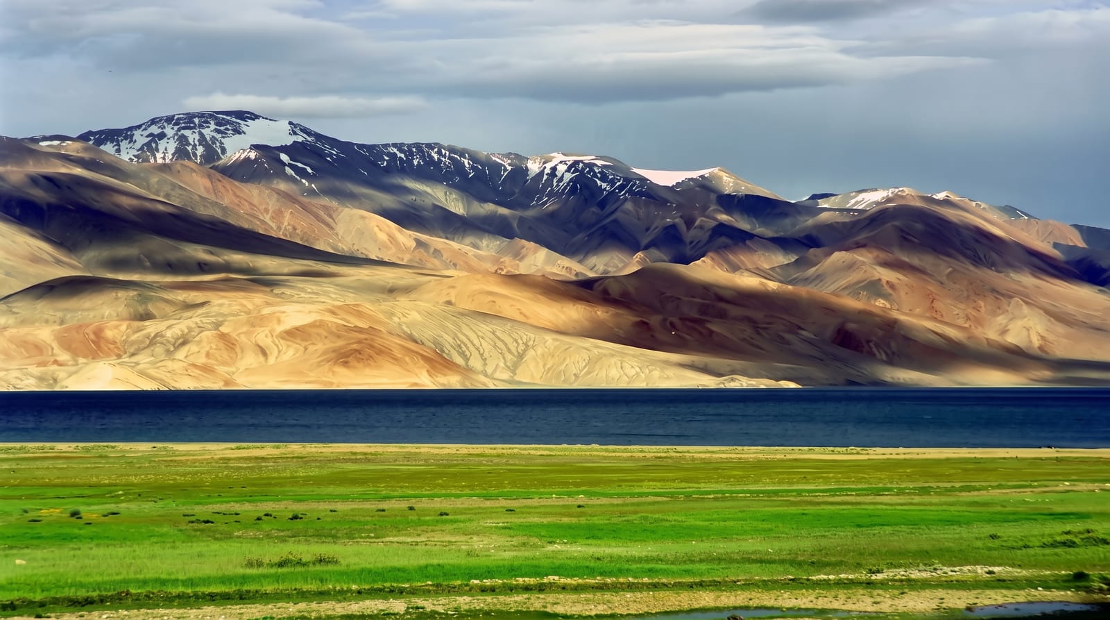
Tso Moriri lies at about 4,522 metres in the Changthang plateau, some twenty-six kilometres long and closed at both ends, with brown and ochre mountains rising directly from the shore and no outlet, which makes the water brackish. It is a protected wetland and among the few Indian breeding sites for the black-necked crane, along with bar-headed geese and brahminy ducks. Changpa nomads graze yak, sheep and the goats that produce pashmina wool around it, living in tents on the plateau. Karzok village on the shore, with an old monastery, is one of the highest permanent settlements anywhere.
What's there
- The lake - twenty-six kilometres of blue water at 4,500 metres.
- The black-necked cranes - one of India's few breeding populations.
- The Changpa camps - nomad tents and pashmina goat herds.
- Karzok - a shore village and monastery among the highest inhabited places.
When to go
June to September; the lake freezes in winter and roads become difficult or impassable. Cranes are present through the summer breeding season. Nights are below freezing even in July.
What to expect
At 4,500 metres altitude sickness is a serious risk and acclimatisation in Leh first is essential. An Inner Line Permit is required. Accommodation is basic camps and homestays with no heating. Camping on the shore is restricted to protect breeding birds.
Nearby
Tso Kar lies northwest; Leh is northwest beyond it.
Key facts
Source: Wikidata, item Q2087758, read on 18 October 2026.
What to pack for Tso Moriri
Chosen from what this place is for. Tap a kit for the full checklist.
- Broken-in walking shoes or boots - Grip and ankle support matter more than looks; never hike in brand-new boots. Find on Amazon
- Layers for big temperature swings - Warm sun by day, near-freezing at night, even near the equator. Find on Amazon
- Modest clothing - Shoulders and knees covered - the single most common requirement. Find on Amazon
- Shelter suited to the place - Tent, tarp or hut booking - match it to the terrain and rules. Find on Amazon
Some links on this page are Amazon affiliate links - if you buy through them we may earn a small commission at no extra cost to you.
All packing kitsPlan your trip
Where to start if Tso Moriri is going on the list.
Booking links on this page are affiliate links - if you book through them we may earn a small commission at no extra cost to you. It never changes what we write about a place.
Opening times, ticket prices and seasonal closures change - check the official source before you go: official site.