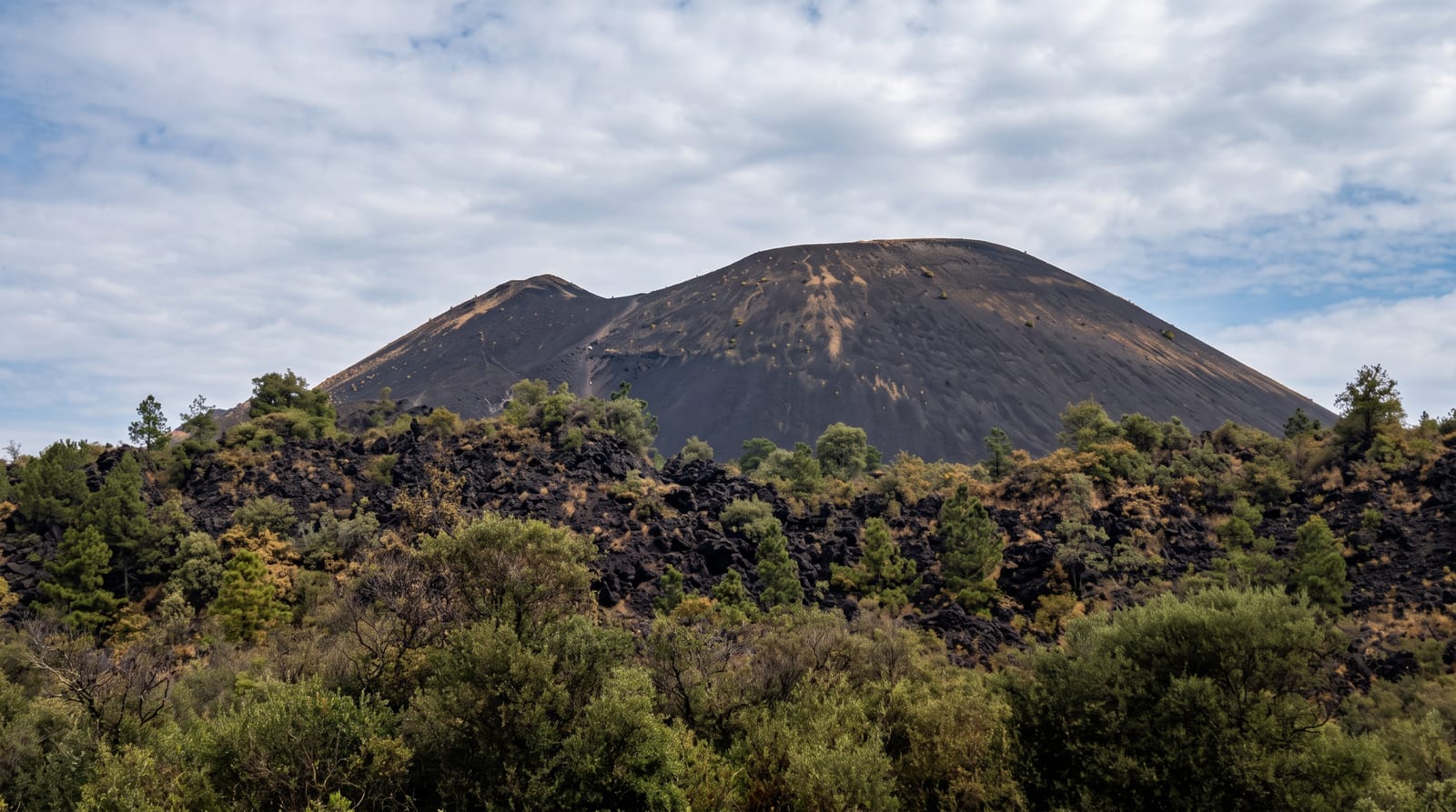
Mount Giluwe
The second-highest mountain in Papua New Guinea and the highest volcano in Oceania, with alpine grassland on top.
Updated 21 October 2026
Giluwe rises to 4,367 metres in the Southern Highlands, second only to Mount Wilhelm in Papua New Guinea and the highest volcano in Oceania, which makes it one of the volcanic seven summits and brings a steady trickle of climbers pursuing that list. It is a shield volcano, worn down and glaciated in the ice ages so that the summit is a pair of rocky peaks rising from a broad plateau of alpine tussock grassland and bog, above the tree line and often frosted at night. The climb takes two to three days from Tambul with camping on the plateau, guides from the villages and landowner arrangements, and the walking is boggy rather than technical.
History
The Australian explorers Mick and Dan Leahy were the first Westerners to reach and climb Mount Giluwe, though Jack Hides also claimed its discovery after seeing the peaks from the west in 1935 and naming them the Minaret Mountains; Leahy put his case to the Royal Geographical Society in London on 21 November 1935 (Wikipedia, Mount Giluwe).
What's there
- The summit peaks - the volcanic plugs above the plateau.
- Alpine grassland - the tussock and bog of the high plateau.
- The tree line - the moss forest giving way to open ground.
- Frost and cold - the near-freezing nights at altitude.
When to go
May to October in the drier season; the plateau is boggy year round and worse in the wet months. Nights are near freezing at altitude in any season. Climbs need arranging in advance.
Things to know
The walking is wet and boggy rather than technical, and gaiters and waterproof boots matter. Guides and landowner arrangements are required and negotiated locally. Camping is the only option on the mountain. Cold at altitude catches people out.
Nearby
Mount Hagen lies north; Tambul is at the foot of the mountain.
Key facts
Source: Wikidata, item Q1813475, read on 18 October 2026.
What to pack for Mount Giluwe
Chosen from what this place is for. Tap a kit for the full checklist.
- Broken-in walking shoes or boots - Grip and ankle support matter more than looks; never hike in brand-new boots. Find on Amazon
- Layers for big temperature swings - Warm sun by day, near-freezing at night, even near the equator. Find on Amazon
- Shelter suited to the place - Tent, tarp or hut booking - match it to the terrain and rules. Find on Amazon
- Layers + a waterproof shell - Mountain weather turns fast; a packable rain jacket saves the day. Find on Amazon
Some links on this page are Amazon affiliate links - if you buy through them we may earn a small commission at no extra cost to you.
All packing kitsPlan your trip
Where to start if Mount Giluwe is going on the list.
Booking links on this page are affiliate links - if you book through them we may earn a small commission at no extra cost to you. It never changes what we write about a place.
Opening times, ticket prices and seasonal closures change - check the official source before you go: official site.