Cerro Hoya
The last significant forest on the Azuero Peninsula, in the remote southwestern corner, holding species found nowhere else.
Updated 2 September 2026
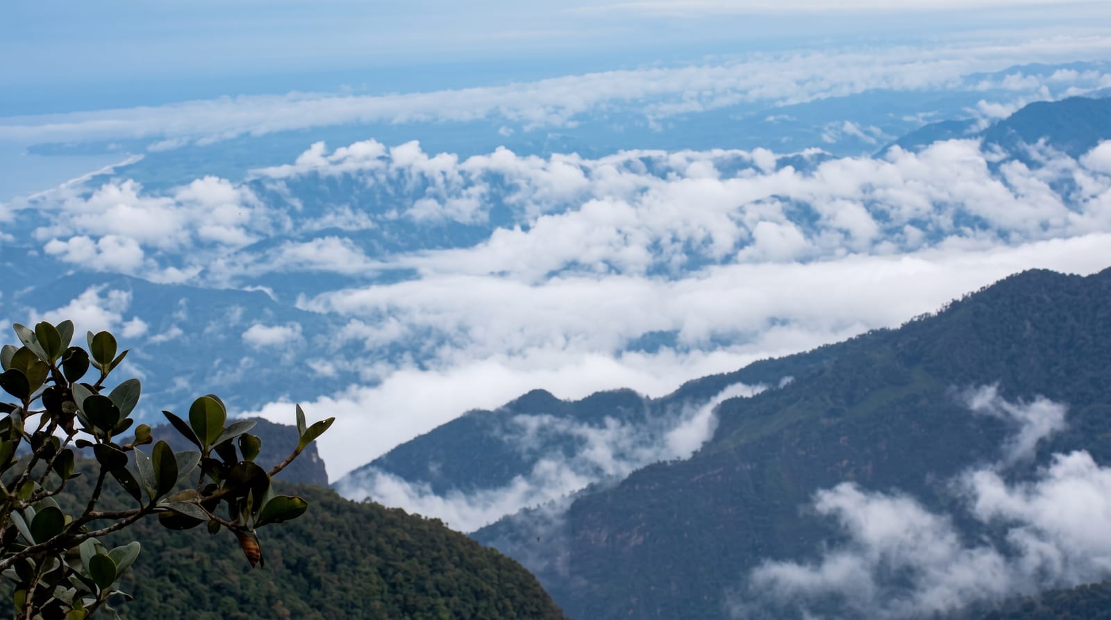
AI illustration
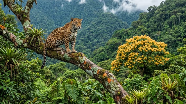
The Azuero Peninsula has been cleared for cattle more thoroughly than almost anywhere else in Panama, and Cerro Hoya in the far southwestern corner is what is left: around thirty-two thousand hectares of forest running from the coast up to just over a thousand metres. Its isolation produced endemics, including a subspecies of the spider monkey and the Azuero parakeet, both found only on this peninsula and both in trouble. Access is genuinely difficult, on rough tracks or by boat along the coast, and there is almost no infrastructure. It is one of the least visited national parks in the country.
Highlights
- The last Azuero forest - the peninsula's only significant surviving block.
- Azuero endemics - the local spider monkey and parakeet.
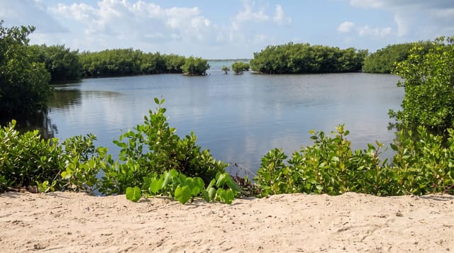
- The coastal edge - forest running down to empty Pacific beaches.
- The isolation - among the least visited parks in Panama.
When to go
December to April is the dry season and the only realistic access window; the tracks become impassable in the wet. Guides are arranged in Tonosí, Mariato or the villages at the park edge. Allow days rather than hours.
What to expect
This is a genuine expedition: rough four-wheel drive tracks or a boat along an exposed coast, no facilities, no marked trails and no guides waiting. Almost nobody goes. Deforestation continues at the boundary. The endemic species are rare enough that seeing them is unlikely.
Nearby
Tonosí is the eastern approach; Mariato is the Veraguas side.
Key facts
Source: Wikidata, item Q5391812, read on 18 October 2026.
What to pack for Cerro Hoya
Chosen from what this place is for. Tap a kit for the full checklist.
- Broken-in walking shoes or boots - Grip and ankle support matter more than looks; never hike in brand-new boots. Find on Amazon
- Reef-safe sunscreen - High SPF that will not bleach the coral you are swimming over. Find on Amazon
- Binoculars - The single best wildlife tool - even a compact pair transforms a sighting. Find on Amazon
- Shelter suited to the place - Tent, tarp or hut booking - match it to the terrain and rules. Find on Amazon
Some links on this page are Amazon affiliate links - if you buy through them we may earn a small commission at no extra cost to you.
All packing kitsPlan your trip
Where to start if Cerro Hoya is going on the list.
Booking links on this page are affiliate links - if you book through them we may earn a small commission at no extra cost to you. It never changes what we write about a place.
Opening times, ticket prices and seasonal closures change - check the official source before you go: official site.